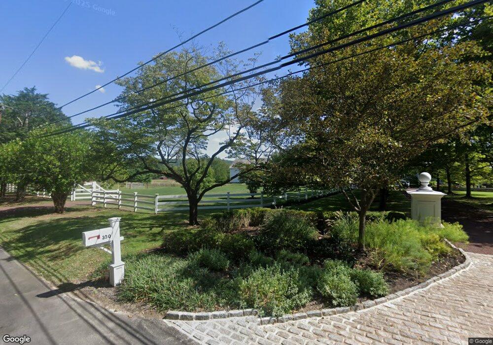
330 Lurgan Rd New Hope, PA 18938
Estimated Value: $1,016,000 - $4,034,000
5
Beds
8
Baths
8,881
Sq Ft
$278/Sq Ft
Est. Value
About This Home
This home is located at 330 Lurgan Rd, New Hope, PA 18938 and is currently estimated at $2,471,291, approximately $278 per square foot. 330 Lurgan Rd is a home located in Bucks County with nearby schools including Sol Feinstone Elementary School, Newtown Middle School, and Council Rock High School North.
Ownership History
Date
Name
Owned For
Owner Type
Purchase Details
Closed on
Feb 8, 1999
Sold by
Wimmer Sarah M and Magill Robert Ranson
Bought by
Edelblut John G and Edelblut Denise
Current Estimated Value
Home Financials for this Owner
Home Financials are based on the most recent Mortgage that was taken out on this home.
Original Mortgage
$639,200
Interest Rate
6.62%
Create a Home Valuation Report for This Property
The Home Valuation Report is an in-depth analysis detailing your home's value as well as a comparison with similar homes in the area
Home Values in the Area
Average Home Value in this Area
Purchase History
| Date | Buyer | Sale Price | Title Company |
|---|---|---|---|
| Edelblut John G | $799,000 | -- |
Source: Public Records
Mortgage History
| Date | Status | Borrower | Loan Amount |
|---|---|---|---|
| Previous Owner | Edelblut John G | $639,200 |
Source: Public Records
Tax History Compared to Growth
Tax History
| Year | Tax Paid | Tax Assessment Tax Assessment Total Assessment is a certain percentage of the fair market value that is determined by local assessors to be the total taxable value of land and additions on the property. | Land | Improvement |
|---|---|---|---|---|
| 2025 | $31,322 | $183,110 | $29,080 | $154,030 |
| 2024 | $31,322 | $183,110 | $29,080 | $154,030 |
| 2023 | $30,464 | $183,110 | $29,080 | $154,030 |
| 2022 | $30,306 | $183,110 | $29,080 | $154,030 |
| 2021 | $29,896 | $206,120 | $52,090 | $154,030 |
| 2020 | $29,179 | $206,120 | $52,090 | $154,030 |
| 2019 | $28,503 | $206,120 | $52,090 | $154,030 |
| 2018 | $27,972 | $206,120 | $52,090 | $154,030 |
| 2017 | $26,716 | $202,830 | $52,090 | $150,740 |
| 2016 | $27,121 | $202,830 | $52,090 | $150,740 |
| 2015 | -- | $202,830 | $52,090 | $150,740 |
| 2014 | -- | $202,830 | $52,090 | $150,740 |
Source: Public Records
Map
Nearby Homes
- 321 Lurgan Rd
- 347 Lurgan Rd
- 71 Covered Bridge Rd
- 420 Covered Bridge Rd
- 6279 Pidcock Creek Rd
- 0 Lot 4 Buckmanville Rd Unit PABU2029690
- 42 Woodside Ln
- 52 Woodside Ln
- 55 Woodside Ln
- 2942 Windy Bush Rd
- 1895 Aquetong Rd
- 457 Brownsburg Rd Unit W
- 439 Brownsburg Rd Unit W
- 274 Pineville Rd
- 8 Keith Ln
- 6068 Stoney Hill Rd
- 108 Beaumont Dr
- 19 Goldney Dr
- 1315 Pineville Rd
- 3 Tines Field Path
- 316 Lurgan Rd
- 333 Lurgan Rd
- 308 Lurgan Rd
- 343 Lurgan Rd
- 2 Eastburn Dr
- 346 Lurgan Rd Unit A
- 346 Lurgan Rd
- 6 Eastburn Dr
- 9 Van Sant Rd
- 5 Eastburn Dr
- 360 Lurgan Rd
- 8 Eastburn Dr
- 19 Van Sant Rd
- 290 Lurgan Rd
- 290 Lurgan Rd Unit CARRIAGE HOUSE
- 7 Eastburn Dr
- 293 Lurgan Rd
- 25 Van Sant Rd
- 12 Van Sant Rd
- 372 Lurgan Rd