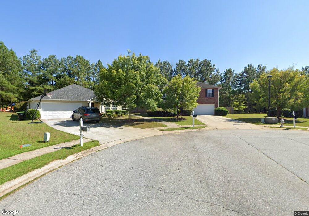
330 Marston Place Unit 1 Atlanta, GA 30349
Estimated Value: $289,000 - $359,278
4
Beds
4
Baths
2,556
Sq Ft
$122/Sq Ft
Est. Value
About This Home
This home is located at 330 Marston Place Unit 1, Atlanta, GA 30349 and is currently estimated at $312,820, approximately $122 per square foot. 330 Marston Place Unit 1 is a home located in Fulton County with nearby schools including Cliftondale Elementary School, Renaissance Middle School, and Langston Hughes High School.
Ownership History
Date
Name
Owned For
Owner Type
Purchase Details
Closed on
Aug 26, 2003
Sold by
Centex Homes
Bought by
Wimby Larry
Current Estimated Value
Home Financials for this Owner
Home Financials are based on the most recent Mortgage that was taken out on this home.
Original Mortgage
$143,380
Outstanding Balance
$66,010
Interest Rate
6.13%
Mortgage Type
New Conventional
Estimated Equity
$246,810
Create a Home Valuation Report for This Property
The Home Valuation Report is an in-depth analysis detailing your home's value as well as a comparison with similar homes in the area
Home Values in the Area
Average Home Value in this Area
Purchase History
| Date | Buyer | Sale Price | Title Company |
|---|---|---|---|
| Wimby Larry | $158,400 | -- |
Source: Public Records
Mortgage History
| Date | Status | Borrower | Loan Amount |
|---|---|---|---|
| Open | Wimby Larry | $143,380 |
Source: Public Records
Tax History Compared to Growth
Tax History
| Year | Tax Paid | Tax Assessment Tax Assessment Total Assessment is a certain percentage of the fair market value that is determined by local assessors to be the total taxable value of land and additions on the property. | Land | Improvement |
|---|---|---|---|---|
| 2025 | $1,728 | $126,440 | $26,000 | $100,440 |
| 2023 | $3,580 | $126,840 | $30,920 | $95,920 |
| 2022 | $1,607 | $94,120 | $20,960 | $73,160 |
| 2021 | $1,561 | $79,840 | $15,120 | $64,720 |
| 2020 | $1,566 | $78,840 | $15,320 | $63,520 |
| 2019 | $1,758 | $72,880 | $13,240 | $59,640 |
| 2018 | $1,746 | $61,160 | $7,760 | $53,400 |
| 2017 | $1,187 | $46,200 | $9,240 | $36,960 |
| 2016 | $1,185 | $46,200 | $9,240 | $36,960 |
| 2015 | $1,189 | $46,200 | $9,240 | $36,960 |
| 2014 | $726 | $34,560 | $6,760 | $27,800 |
Source: Public Records
Map
Nearby Homes
- 450 Pinevale Ct
- 7459 Old Chapel
- 440 Pinevale Ct
- 7250 Old Chapel
- 775 Ambrose Ln
- 3198 Redwood Run
- 2980 Oxford Rd
- 2970 Oxford Rd
- 7198 Glaspie Way
- 196 Allegrini Dr
- 260 Redding Ridge
- 275 Redding Ridge
- 7847 Wrotham Cir
- 2765 Elkmont Ridge SW
- 7425 Thoreau Cir
- 0 W Stubbs Rd Unit (11.4 ACRES)
- 0 W Stubbs Rd Unit 7487198
- 3114 Thicket Ln
- 7808 Wrotham Cir
- 320 Marston Place
- 7330 Amhurst Terrace Unit 1
- 335 Marston Place
- 7350 Amhurst Terrace
- 7350 Amhurst Terrace
- 7320 Amhurst Terrace Unit 1
- 315 Marston Place
- 7380 Old Chapel
- 7390 Old Chapel
- 7370 Old Chapel
- 325 Marston Place
- 7310 Amhurst Terrace Unit 7310
- 7310 Amhurst Terrace
- 7310 Amhurst Terrace Unit 1
- 7360 Old Chapel
- 3050 Pebble Creek Ln Unit 1
- 3100 Pebble Creek Ln
- 3090 Pebble Creek Ln Unit 1
- 3080 Pebble Creek Ln Unit 1
- 7300 Amhurst Terrace Unit 7300