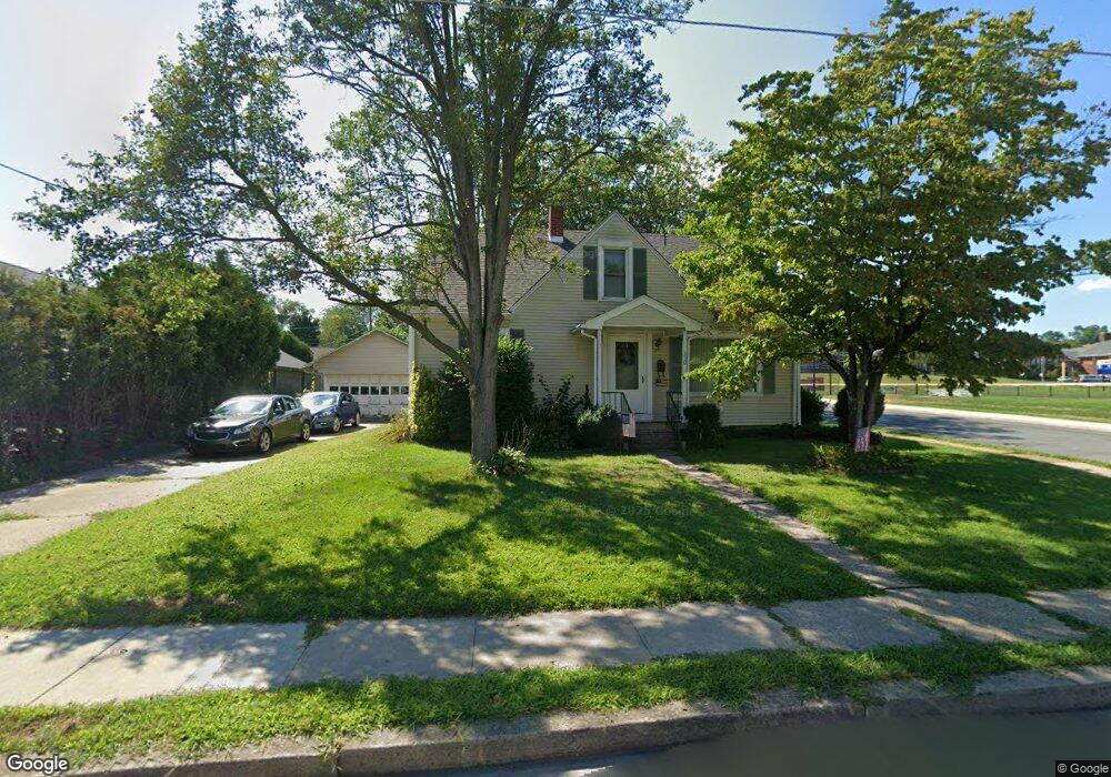
330 N Broad St Selinsgrove, PA 17870
Estimated Value: $172,132 - $241,000
--
Bed
--
Bath
--
Sq Ft
10,019
Sq Ft Lot
About This Home
This home is located at 330 N Broad St, Selinsgrove, PA 17870 and is currently estimated at $205,283. 330 N Broad St is a home located in Snyder County with nearby schools including Selinsgrove Area Elementary School, Selinsgrove Intermediate School, and Selinsgrove Area Middle School.
Ownership History
Date
Name
Owned For
Owner Type
Purchase Details
Closed on
May 7, 2007
Sold by
Miller Kenneth P and Miller Gloris D
Bought by
Bordner John S and Bordner Kenda L
Current Estimated Value
Home Financials for this Owner
Home Financials are based on the most recent Mortgage that was taken out on this home.
Original Mortgage
$77,600
Outstanding Balance
$48,978
Interest Rate
6.87%
Mortgage Type
Assumption
Estimated Equity
$156,305
Create a Home Valuation Report for This Property
The Home Valuation Report is an in-depth analysis detailing your home's value as well as a comparison with similar homes in the area
Home Values in the Area
Average Home Value in this Area
Purchase History
| Date | Buyer | Sale Price | Title Company |
|---|---|---|---|
| Bordner John S | $46,000 | -- |
Source: Public Records
Mortgage History
| Date | Status | Borrower | Loan Amount |
|---|---|---|---|
| Open | Bordner John S | $77,600 |
Source: Public Records
Tax History Compared to Growth
Tax History
| Year | Tax Paid | Tax Assessment Tax Assessment Total Assessment is a certain percentage of the fair market value that is determined by local assessors to be the total taxable value of land and additions on the property. | Land | Improvement |
|---|---|---|---|---|
| 2025 | $2,081 | $17,400 | $3,120 | $14,280 |
| 2024 | $1,954 | $17,400 | $3,120 | $14,280 |
| 2023 | $780 | $17,400 | $3,120 | $14,280 |
| 2022 | $1,876 | $17,400 | $3,120 | $14,280 |
| 2021 | $1,858 | $17,400 | $3,120 | $14,280 |
| 2020 | $1,850 | $17,400 | $3,120 | $14,280 |
| 2019 | $1,841 | $17,400 | $3,120 | $14,280 |
| 2018 | $1,824 | $17,400 | $3,120 | $14,280 |
| 2017 | $1,806 | $17,400 | $3,120 | $14,280 |
| 2016 | $971 | $17,400 | $3,120 | $14,280 |
| 2015 | $64,054 | $17,400 | $3,120 | $14,280 |
| 2014 | $64,054 | $17,400 | $3,120 | $14,280 |
Source: Public Records
Map
Nearby Homes
- 501 N 9th St
- 207 Orange St Unit 209
- 500 N Orange St
- 610 N 10th St
- 722 N 8th St
- 21 Calvett Place
- 104 18th St
- Lot 1 522 Route S
- 223 E Pine St
- 301 E Pine St
- 301 E Walnut St
- 321 Pleasant Dr
- 20 Quarry Rd
- 456 State School Rd
- 12 Minton Dr
- 0 Wedgewood Dr
- 85 Old Colony Rd
- 732 Salem Rd
- 34 Oakmont Ct
- 1262 N Old Trail
- 608 W Spruce St
- 307 Charles Ave
- 401 N Broad St
- 310 N Broad St Unit 312
- 313 N Broad St
- 315 N Broad St
- 319 N Broad St
- 403 N Broad St
- 309 N Broad St
- 303 Charles Ave
- 405 N Broad St
- 515 W Spruce St
- 400 W Snyder St
- 400-402 9th St Unit 400
- 305 N Broad St
- 400 9th St Unit 402
- 407 N Broad St
- 507 W Spruce St
- 303 N Broad St
- 301 Charles Ave