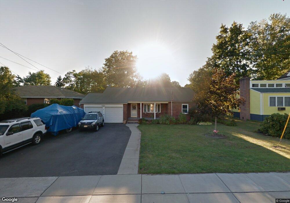
330 N Main St Milltown, NJ 08850
Estimated Value: $447,656 - $560,000
Studio
--
Bath
1,308
Sq Ft
$390/Sq Ft
Est. Value
About This Home
This home is located at 330 N Main St, Milltown, NJ 08850 and is currently estimated at $509,664, approximately $389 per square foot. 330 N Main St is a home located in Middlesex County with nearby schools including Parkview School, Joyce Kilmer Elementary School, and Unitarian Montessori School.
Ownership History
Date
Name
Owned For
Owner Type
Purchase Details
Closed on
May 21, 2005
Sold by
Horan Joseph
Bought by
Ruff Richard and Ruff Denise
Current Estimated Value
Home Financials for this Owner
Home Financials are based on the most recent Mortgage that was taken out on this home.
Original Mortgage
$228,000
Outstanding Balance
$117,737
Interest Rate
6.2%
Mortgage Type
Adjustable Rate Mortgage/ARM
Estimated Equity
$391,927
Purchase Details
Closed on
Aug 1, 2000
Sold by
Shor Leslie
Bought by
Horan Joseph and Lewis Theresa
Home Financials for this Owner
Home Financials are based on the most recent Mortgage that was taken out on this home.
Original Mortgage
$130,900
Interest Rate
8.16%
Purchase Details
Closed on
Jul 12, 1996
Sold by
Fortner Isabel
Bought by
Mccabe Leslie
Create a Home Valuation Report for This Property
The Home Valuation Report is an in-depth analysis detailing your home's value as well as a comparison with similar homes in the area
Home Values in the Area
Average Home Value in this Area
Purchase History
| Date | Buyer | Sale Price | Title Company |
|---|---|---|---|
| Ruff Richard | $285,000 | -- | |
| Horan Joseph | $164,900 | -- | |
| Mccabe Leslie | $134,000 | -- |
Source: Public Records
Mortgage History
| Date | Status | Borrower | Loan Amount |
|---|---|---|---|
| Open | Ruff Richard | $228,000 | |
| Previous Owner | Horan Joseph | $130,900 |
Source: Public Records
Tax History
| Year | Tax Paid | Tax Assessment Tax Assessment Total Assessment is a certain percentage of the fair market value that is determined by local assessors to be the total taxable value of land and additions on the property. | Land | Improvement |
|---|---|---|---|---|
| 2025 | $9,246 | $136,900 | $63,800 | $73,100 |
| 2024 | $9,078 | $136,900 | $63,800 | $73,100 |
| 2023 | $9,078 | $136,900 | $63,800 | $73,100 |
| 2022 | $9,037 | $136,900 | $63,800 | $73,100 |
| 2021 | $8,849 | $136,900 | $63,800 | $73,100 |
| 2020 | $8,636 | $136,900 | $63,800 | $73,100 |
| 2019 | $8,299 | $136,900 | $63,800 | $73,100 |
| 2018 | $7,807 | $136,900 | $63,800 | $73,100 |
| 2017 | $7,538 | $136,900 | $63,800 | $73,100 |
| 2016 | $7,269 | $136,900 | $63,800 | $73,100 |
| 2015 | $7,117 | $136,900 | $63,800 | $73,100 |
| 2014 | $6,867 | $136,900 | $63,800 | $73,100 |
Source: Public Records
Map
Nearby Homes
- 3 Clayton Ct
- 125 Garretson Cir
- 61 Ochs Ave
- 20 Nelson Dr
- 845 Hoover Dr
- 246 Highland Dr
- 1088 S Boyd Pkwy
- 18 Scott Ave
- 3 Michael Ct
- 14 South St
- 386 Franklin Rd
- 1290 Barkley Place N
- 226 Washington Ave
- 685 Edgewood Place
- 339 Constitution Cir
- 58 Cleremont Ave
- 93 1st St
- 6 Nicholas Ct
- 196 Albert Ave
- 321 Franklach Ave
Your Personal Tour Guide
Ask me questions while you tour the home.