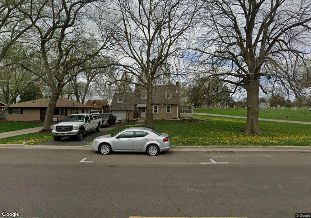
330 N River St Montgomery, IL 60538
Estimated Value: $276,000 - $300,000
3
Beds
2
Baths
1,200
Sq Ft
$243/Sq Ft
Est. Value
About This Home
This home is located at 330 N River St, Montgomery, IL 60538 and is currently estimated at $291,727, approximately $243 per square foot. 330 N River St is a home located in Kane County with nearby schools including Nicholson Elementary School, Washington Middle School, and West Aurora High School.
Ownership History
Date
Name
Owned For
Owner Type
Purchase Details
Closed on
May 26, 2011
Sold by
Lesiotis James L and Lesiotis Martha A
Bought by
Torres Jorge A and Torres Nancy Y
Current Estimated Value
Home Financials for this Owner
Home Financials are based on the most recent Mortgage that was taken out on this home.
Original Mortgage
$121,343
Outstanding Balance
$83,612
Interest Rate
4.62%
Mortgage Type
FHA
Estimated Equity
$208,115
Create a Home Valuation Report for This Property
The Home Valuation Report is an in-depth analysis detailing your home's value as well as a comparison with similar homes in the area
Home Values in the Area
Average Home Value in this Area
Purchase History
| Date | Buyer | Sale Price | Title Company |
|---|---|---|---|
| Torres Jorge A | $124,500 | First American Title |
Source: Public Records
Mortgage History
| Date | Status | Borrower | Loan Amount |
|---|---|---|---|
| Open | Torres Jorge A | $121,343 |
Source: Public Records
Tax History Compared to Growth
Tax History
| Year | Tax Paid | Tax Assessment Tax Assessment Total Assessment is a certain percentage of the fair market value that is determined by local assessors to be the total taxable value of land and additions on the property. | Land | Improvement |
|---|---|---|---|---|
| 2024 | $5,342 | $82,277 | $13,983 | $68,294 |
| 2023 | $5,097 | $73,514 | $12,494 | $61,020 |
| 2022 | $4,874 | $66,543 | $11,400 | $55,143 |
| 2021 | $4,641 | $61,953 | $10,614 | $51,339 |
| 2020 | $4,375 | $57,545 | $9,859 | $47,686 |
| 2019 | $4,233 | $53,317 | $9,135 | $44,182 |
| 2018 | $4,021 | $49,710 | $8,450 | $41,260 |
| 2017 | $3,644 | $44,375 | $7,786 | $36,589 |
| 2016 | $3,257 | $39,077 | $7,025 | $32,052 |
| 2015 | -- | $34,998 | $6,041 | $28,957 |
| 2014 | -- | $34,396 | $5,552 | $28,844 |
| 2013 | -- | $35,308 | $5,894 | $29,414 |
Source: Public Records
Map
Nearby Homes
- 125 S Main St
- 170 Montgomery Rd
- 1342 Oak Ridge Ln
- 1022 Sard Ave
- 75 Briarcliff Rd
- 962 Oliver Ave
- 1375 Manning Ave
- 1422 Manning Ave
- 133 Autumn Rdg Dr
- 1405 Manning Ave
- 1417 Manning Ave
- 1707 Deer Run Dr
- 1 Highway 30
- 17 Knollwood Dr Unit 3
- 820 Oliver Ave
- 815 Oliver Ave
- 1336 Douglas Ave Unit 13
- Lot 1 Douglas Ave
- 721 S River St
- 1243 Jericho Rd
- 328 N River St
- 209 Taylor St
- 326 N River St
- 324 N River St
- 0 N River St at Ashland Ave Ave Unit MRD11485117
- 0 N River St at Ashland Ave Ave Unit 11489249
- 0 N River St at Ashland Ave Ave
- 322 N River St
- 1361 Pearl St
- 320 N River St
- 318 N River St
- 316 N River St
- 310 N River St
- 316 Pearl St
- 317 N Main St
- 216 W Mill St
- 214 N River St
- 313-315 N Main St
- 218 W Mill St
- 211 N River St