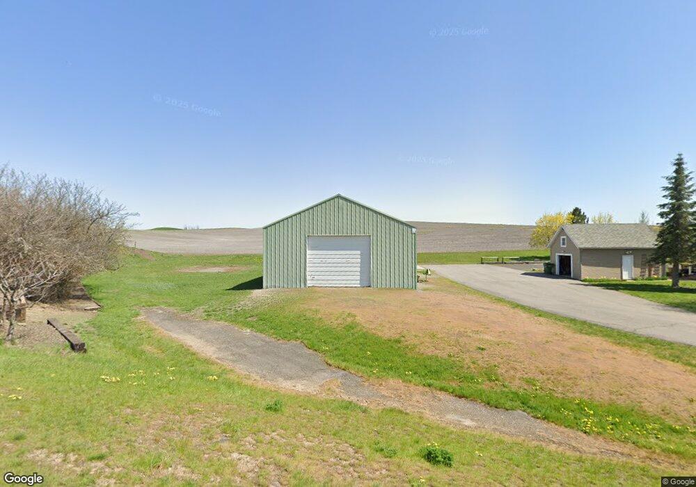
330 N Spangle Ave Spangle, WA 99031
Estimated Value: $220,000 - $530,000
3
Beds
2
Baths
1,689
Sq Ft
$228/Sq Ft
Est. Value
About This Home
This home is located at 330 N Spangle Ave, Spangle, WA 99031 and is currently estimated at $385,864, approximately $228 per square foot. 330 N Spangle Ave is a home with nearby schools including Liberty Elementary/Junior High School, Liberty High School, and Upper Columbia Academy - Elementary School.
Ownership History
Date
Name
Owned For
Owner Type
Purchase Details
Closed on
Jul 30, 2018
Sold by
Sample Lou Ellen
Bought by
Sample Clyde J and Sample Lou Ellen
Current Estimated Value
Create a Home Valuation Report for This Property
The Home Valuation Report is an in-depth analysis detailing your home's value as well as a comparison with similar homes in the area
Purchase History
| Date | Buyer | Sale Price | Title Company |
|---|---|---|---|
| Sample Clyde J | -- | None Available |
Source: Public Records
Tax History
| Year | Tax Paid | Tax Assessment Tax Assessment Total Assessment is a certain percentage of the fair market value that is determined by local assessors to be the total taxable value of land and additions on the property. | Land | Improvement |
|---|---|---|---|---|
| 2025 | $3,027 | $285,400 | $50,000 | $235,400 |
| 2024 | $3,027 | $314,300 | $70,000 | $244,300 |
| 2023 | $2,408 | $285,900 | $70,000 | $215,900 |
| 2022 | $2,587 | $285,900 | $70,000 | $215,900 |
| 2021 | $2,659 | $217,750 | $53,550 | $164,200 |
| 2020 | $2,445 | $192,300 | $51,100 | $141,200 |
| 2019 | $2,200 | $176,500 | $45,500 | $131,000 |
| 2018 | $2,266 | $155,950 | $37,450 | $118,500 |
| 2017 | $2,084 | $145,020 | $26,520 | $118,500 |
| 2016 | $1,955 | $146,120 | $26,520 | $119,600 |
| 2015 | $1,954 | $139,460 | $26,260 | $113,200 |
| 2014 | -- | $142,560 | $26,260 | $116,300 |
| 2013 | -- | $0 | $0 | $0 |
Source: Public Records
Map
Nearby Homes
- 365 N Pine St
- 205 E 1st St
- Lot 2 Nka Cheney Spangle Rd Unit Parcel 32085.9041
- 3013 E Watt Rd
- 1112 E Jennings Rd
- XXX E Cornwall Rd
- 102 E Cameron Rd
- 1403 W Jennings Rd
- 20xxx S Parker Rd
- 22711 S Gateway Ln
- 6919 E Spangle Waverly Rd
- 0 Unassigned Address Rd Unit SAR202513397
- 497 E Stutler Rd
- 18206 S Hanson Pond Ln
- 19212 S Aspen Meadows Dr
- nka Unassigned Address Rd
- 177XX S Smythe Rd
- 15010 S Stentz Rd
- 17901 S Aspen Meadows Dr
- 16771 S Sherman Rd
- 410 N Spangle Ave
- 315 N Spangle Ave
- 000 N Spangle Ave
- 407 E 5th
- 260 N Spangle Ave
- 410 N Pine St
- 330 N Pine St
- 265 N Spangle Ave
- 325 E 5th St
- 245 N Spangle Ave
- 315 E 5th St
- 305 E 3rd St
- 410 E 5th St
- 250 N Pine St
- 325 N Pine St
- 235 N Spangle Ave
- 405 N Pine St
- 240 N Pine St
- 210 N Spangle Ave
- 515 N Spangle Ave
Your Personal Tour Guide
Ask me questions while you tour the home.