330 NW Breezy Point Loop Port Saint Lucie, FL 34986
Saint Lucie West NeighborhoodEstimated Value: $302,254 - $343,000
2
Beds
2
Baths
1,398
Sq Ft
$232/Sq Ft
Est. Value
About This Home
This home is located at 330 NW Breezy Point Loop, Port Saint Lucie, FL 34986 and is currently estimated at $324,314, approximately $231 per square foot. 330 NW Breezy Point Loop is a home located in St. Lucie County with nearby schools including West Gate K-8 School, Oak Hammock K-8 School, and Bayshore Elementary School.
Ownership History
Date
Name
Owned For
Owner Type
Purchase Details
Closed on
Jul 19, 2004
Sold by
Levitt Homes Llc
Bought by
Degennaro Alexander J and Degennaro Ann K
Current Estimated Value
Home Financials for this Owner
Home Financials are based on the most recent Mortgage that was taken out on this home.
Original Mortgage
$126,700
Outstanding Balance
$59,905
Interest Rate
5.62%
Mortgage Type
Purchase Money Mortgage
Estimated Equity
$264,409
Create a Home Valuation Report for This Property
The Home Valuation Report is an in-depth analysis detailing your home's value as well as a comparison with similar homes in the area
Home Values in the Area
Average Home Value in this Area
Purchase History
| Date | Buyer | Sale Price | Title Company |
|---|---|---|---|
| Degennaro Alexander J | $175,800 | U F C Title Ins Agency Llc |
Source: Public Records
Mortgage History
| Date | Status | Borrower | Loan Amount |
|---|---|---|---|
| Open | Degennaro Alexander J | $126,700 |
Source: Public Records
Tax History Compared to Growth
Tax History
| Year | Tax Paid | Tax Assessment Tax Assessment Total Assessment is a certain percentage of the fair market value that is determined by local assessors to be the total taxable value of land and additions on the property. | Land | Improvement |
|---|---|---|---|---|
| 2025 | $3,729 | $169,153 | -- | -- |
| 2024 | $3,618 | $164,386 | -- | -- |
| 2023 | $3,618 | $159,599 | $0 | $0 |
| 2022 | $3,458 | $154,951 | $0 | $0 |
| 2021 | $3,337 | $150,438 | $0 | $0 |
| 2020 | $3,352 | $148,361 | $0 | $0 |
| 2019 | $3,319 | $145,026 | $0 | $0 |
| 2018 | $3,167 | $142,322 | $0 | $0 |
| 2017 | $3,264 | $184,100 | $55,000 | $129,100 |
| 2016 | $3,268 | $170,100 | $55,000 | $115,100 |
| 2015 | $3,295 | $154,300 | $50,000 | $104,300 |
| 2014 | $3,152 | $134,503 | $0 | $0 |
Source: Public Records
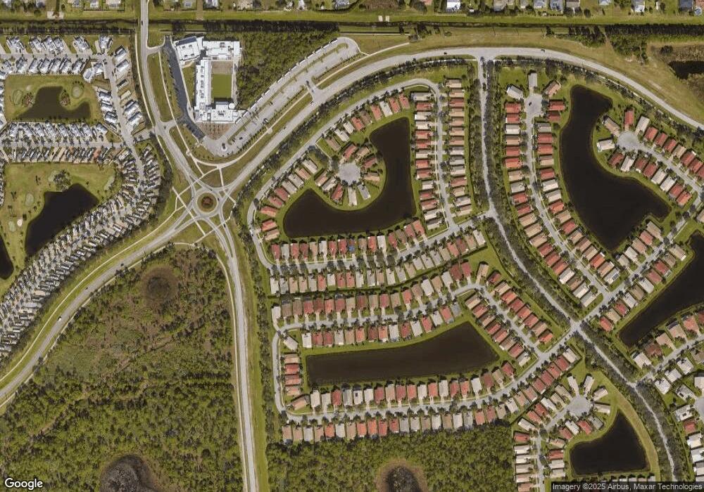
Map
Nearby Homes
- 340 NW Breezy Point Loop
- 324 NW Breezy Point Loop
- 344 NW Breezy Point Loop
- 389 NW Springview Loop
- 159 NW Hazard Way
- 170 NW Hazard Way
- 254 NW Hazard Way
- 171 NW Hazard Way
- 255 NW Hazard Way
- 155 NW Hazard Way
- 269 NW Hazard Way
- 567 NW Chipshot Ln
- 259 NW Hazard Way
- 338 NW Treeline Trace
- 324 NW Treeline Trace
- 5957 NW Brenda Cir
- 307 NW Clearview Ct
- 284 NW Toscane Trail
- 267 NW Hazard Way
- 301 NW Clearview Ct
- 332 NW Breezy Point Loop
- 328 NW Breezy Point Loop
- 334 NW Breezy Point Loop
- 326 NW Breezy Point Loop
- 336 NW Breezy Point Loop
- 331 NW Breezy Point Loop
- 329 NW Breezy Point Loop
- 333 NW Breezy Point Loop
- 327 NW Breezy Point Loop
- 338 NW Breezy Point Loop
- 335 NW Breezy Point Loop
- 325 NW Breezy Point Loop
- 320 NW Breezy Point Loop
- 323 NW Breezy Point Loop
- 110 NW Baycrest Ct
- 318 NW Breezy Point Loop
- 339 NW Breezy Point Loop
- 321 NW Breezy Point Loop
- 387 NW Springview Loop
- 385 NW Springview Loop