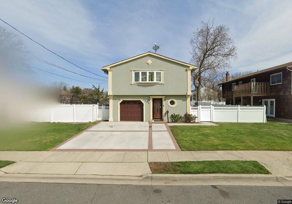
330 Ray St Freeport, NY 11520
Estimated Value: $655,000 - $663,840
Studio
2
Baths
1,222
Sq Ft
$540/Sq Ft
Est. Value
About This Home
This home is located at 330 Ray St, Freeport, NY 11520 and is currently estimated at $659,420, approximately $539 per square foot. 330 Ray St is a home located in Nassau County with nearby schools including Columbus Avenue School, Caroline G. Atkinson Intermediate School, and John W Dodd Middle School.
Ownership History
Date
Name
Owned For
Owner Type
Purchase Details
Closed on
Mar 28, 2017
Sold by
Gyasi Louisa and Osei-Sefa Louisa
Bought by
Osei-Sefa Louisa
Current Estimated Value
Purchase Details
Closed on
Sep 20, 2008
Sold by
Amo Tweneboah and Gyasi Louisa
Bought by
Gyasi Louisa and Osei Sefa Yaw
Purchase Details
Closed on
Sep 8, 2006
Sold by
Hirshman Lenard
Bought by
Amo Tweneboah
Purchase Details
Closed on
Aug 12, 2000
Create a Home Valuation Report for This Property
The Home Valuation Report is an in-depth analysis detailing your home's value as well as a comparison with similar homes in the area
Home Values in the Area
Average Home Value in this Area
Purchase History
| Date | Buyer | Sale Price | Title Company |
|---|---|---|---|
| Osei-Sefa Louisa | -- | The Judicial Title Insurance | |
| Gyasi Louisa | -- | None Available | |
| Amo Tweneboah | $412,000 | -- | |
| -- | -- | -- |
Source: Public Records
Tax History
| Year | Tax Paid | Tax Assessment Tax Assessment Total Assessment is a certain percentage of the fair market value that is determined by local assessors to be the total taxable value of land and additions on the property. | Land | Improvement |
|---|---|---|---|---|
| 2025 | $8,138 | $419 | $158 | $261 |
| 2024 | $920 | $419 | $158 | $261 |
Source: Public Records
Map
Nearby Homes
- 119 S Bay Ave
- 48 Saint Marks Ave
- 265 Roosevelt Ave
- 267 Roosevelt Ave
- 173 Cedar St
- 403 S Bayview Ave
- 135 Whaley St
- 310 Miller Ave
- 280 Guy Lombardo Ave Unit 2H
- 280 Guy Lombardo Ave Unit 3D
- 463 S Bayview Ave
- 159 Southside Ave
- 175 Archer St Unit 1C
- 175 Archer St Unit 3A
- 494 S Ocean Ave Unit 1M
- 494 S Ocean Ave Unit 1H
- 494 S Ocean Ave Unit 3A
- 322 Miller Ave
- 120 Sportsmans Ave
- 160 Saint Marks Ave
Your Personal Tour Guide
Ask me questions while you tour the home.