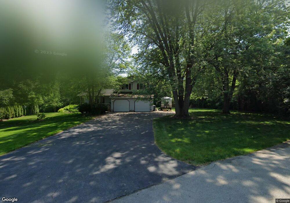
330 Roberts Rd New Lenox, IL 60451
Estimated Value: $398,000 - $494,000
--
Bed
--
Bath
--
Sq Ft
0.65
Acres
About This Home
This home is located at 330 Roberts Rd, New Lenox, IL 60451 and is currently estimated at $440,278. 330 Roberts Rd is a home located in Will County with nearby schools including Bentley Elementary School, Arnold J Tyler School, and Alex M Martino Jr High School.
Ownership History
Date
Name
Owned For
Owner Type
Purchase Details
Closed on
May 13, 1998
Sold by
Scott John R and Scott Laura A
Bought by
Price Jeffrey P and Price Debra S
Current Estimated Value
Home Financials for this Owner
Home Financials are based on the most recent Mortgage that was taken out on this home.
Original Mortgage
$146,200
Outstanding Balance
$28,940
Interest Rate
7.25%
Estimated Equity
$411,338
Create a Home Valuation Report for This Property
The Home Valuation Report is an in-depth analysis detailing your home's value as well as a comparison with similar homes in the area
Home Values in the Area
Average Home Value in this Area
Purchase History
| Date | Buyer | Sale Price | Title Company |
|---|---|---|---|
| Price Jeffrey P | $172,000 | -- |
Source: Public Records
Mortgage History
| Date | Status | Borrower | Loan Amount |
|---|---|---|---|
| Open | Price Jeffrey P | $146,200 |
Source: Public Records
Tax History Compared to Growth
Tax History
| Year | Tax Paid | Tax Assessment Tax Assessment Total Assessment is a certain percentage of the fair market value that is determined by local assessors to be the total taxable value of land and additions on the property. | Land | Improvement |
|---|---|---|---|---|
| 2024 | $9,753 | $132,654 | $35,908 | $96,746 |
| 2023 | $9,753 | $120,924 | $32,733 | $88,191 |
| 2022 | $8,792 | $111,400 | $30,155 | $81,245 |
| 2021 | $8,347 | $104,768 | $28,360 | $76,408 |
| 2020 | $8,107 | $101,030 | $27,348 | $73,682 |
| 2019 | $7,753 | $97,897 | $26,500 | $71,397 |
| 2018 | $7,572 | $94,522 | $25,586 | $68,936 |
| 2017 | $7,186 | $91,804 | $24,850 | $66,954 |
| 2016 | $6,974 | $89,347 | $24,185 | $65,162 |
| 2015 | $6,705 | $86,535 | $23,424 | $63,111 |
| 2014 | $6,705 | $85,467 | $23,135 | $62,332 |
| 2013 | $6,705 | $86,619 | $23,447 | $63,172 |
Source: Public Records
Map
Nearby Homes
- 235 Roberts Rd
- 203 Tonell Ave
- 920 Barnside Rd
- 718 S Prairie Rd
- 117 Walona Ave
- 328 E Lincoln Hwy
- 00 NE Corner Cherry Hill Road and Moss Lane Rd
- 513 Somerset Ln
- 805 Regent St
- 1017 E Lincoln Hwy
- 315 S Pine St
- 1000 S Cedar Rd
- 202 Hickory St
- 125 N Anderson Rd
- 329 Hancock Dr
- 214 Somerset Ct
- 400 W Joliet Hwy
- 1125 Georgias Way
- 1535 Glenbrooke Ln
- 1139 Georgias Way