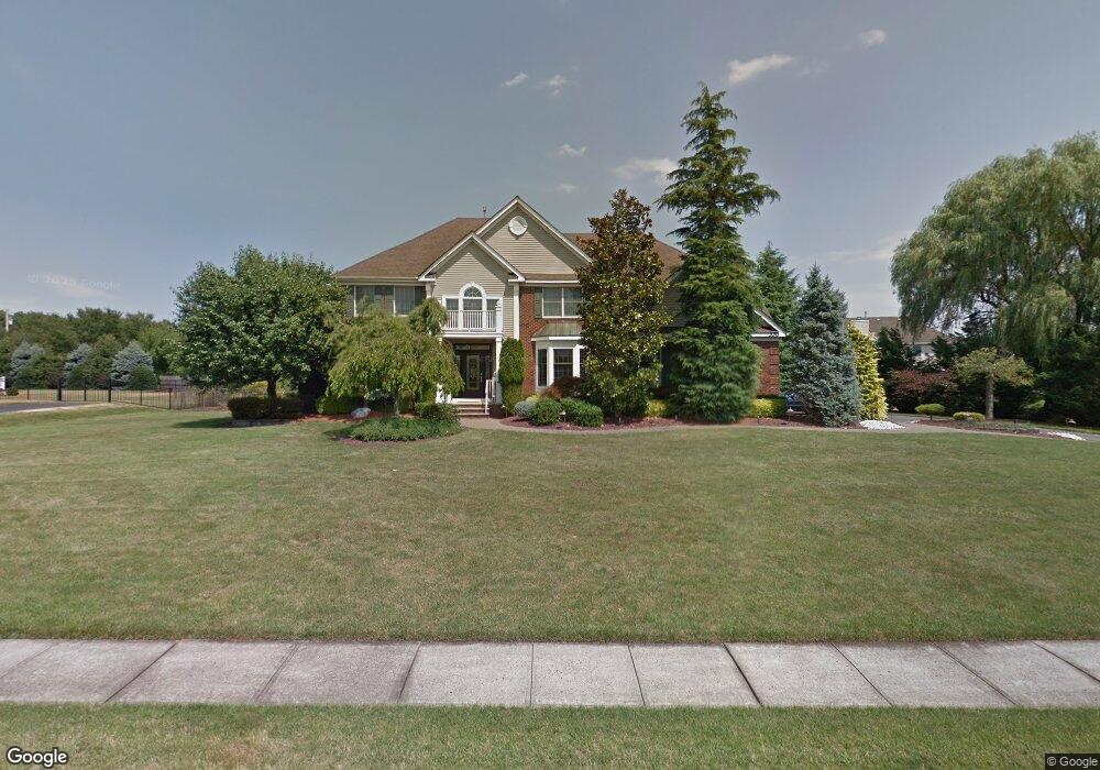
330 Rock Oak Rd Freehold, NJ 07728
Estimated Value: $1,176,000 - $1,262,000
4
Beds
2
Baths
3,472
Sq Ft
$356/Sq Ft
Est. Value
About This Home
This home is located at 330 Rock Oak Rd, Freehold, NJ 07728 and is currently estimated at $1,234,669, approximately $355 per square foot. 330 Rock Oak Rd is a home located in Monmouth County with nearby schools including Joseph J. Catena Elementary School, Dwight D. Eisenhower Middle School, and Freehold Township High School.
Ownership History
Date
Name
Owned For
Owner Type
Purchase Details
Closed on
Oct 7, 1999
Sold by
Matzel
Bought by
Papp Steven and Papp Mary
Current Estimated Value
Home Financials for this Owner
Home Financials are based on the most recent Mortgage that was taken out on this home.
Original Mortgage
$160,000
Outstanding Balance
$47,757
Interest Rate
7.68%
Estimated Equity
$1,186,912
Create a Home Valuation Report for This Property
The Home Valuation Report is an in-depth analysis detailing your home's value as well as a comparison with similar homes in the area
Home Values in the Area
Average Home Value in this Area
Purchase History
| Date | Buyer | Sale Price | Title Company |
|---|---|---|---|
| Papp Steven | $411,625 | -- |
Source: Public Records
Mortgage History
| Date | Status | Borrower | Loan Amount |
|---|---|---|---|
| Open | Papp Steven | $160,000 |
Source: Public Records
Tax History Compared to Growth
Tax History
| Year | Tax Paid | Tax Assessment Tax Assessment Total Assessment is a certain percentage of the fair market value that is determined by local assessors to be the total taxable value of land and additions on the property. | Land | Improvement |
|---|---|---|---|---|
| 2025 | $19,030 | $1,122,000 | $382,800 | $739,200 |
| 2024 | $17,443 | $1,051,400 | $348,900 | $702,500 |
| 2023 | $17,443 | $940,300 | $305,300 | $635,000 |
| 2022 | $16,681 | $850,900 | $247,300 | $603,600 |
| 2021 | $16,681 | $773,700 | $217,300 | $556,400 |
| 2020 | $16,735 | $773,000 | $232,300 | $540,700 |
| 2019 | $16,797 | $774,400 | $227,300 | $547,100 |
| 2018 | $16,940 | $751,900 | $227,300 | $524,600 |
| 2017 | $15,938 | $697,200 | $212,300 | $484,900 |
| 2016 | $15,937 | $684,600 | $197,300 | $487,300 |
| 2015 | $15,585 | $677,600 | $197,300 | $480,300 |
| 2014 | $15,222 | $636,100 | $167,300 | $468,800 |
Source: Public Records
Map
Nearby Homes
- 12 Meadowbrook Ln
- 29 Chatham Ridge Dr
- 511 Burlington Rd
- 10 Whittier Ct
- 4 Tranquil Ct
- 9 Irving Ct
- 6 Stowe Ct
- 210 Hunt Rd
- 6 Kensington Pass
- 10 Stowe Ct
- 10 Harrison Dr
- 73 Topaz Dr
- 582 Colts Neck Rd
- 10 Nicholson Key
- 32 Joysan Terrace
- 358 Bennington Rd
- 4 Oxford Key
- 33 Weaverville Rd
- 35 Village Ct Unit 4
- 66 Village Ct Unit 12
- 336 Rock Oak Rd
- 31 Red Oak Ln
- 294 Burlington Rd
- 333 Rock Oak Rd
- 329 Rock Oak Rd
- 339 Rock Oak Rd
- 323 Rock Oak Rd
- 35 Red Oak Ln
- 317 Rock Oak Rd
- 30 Red Oak Ln
- 298 Burlington Rd
- 34 Red Oak Ln
- 6 Black Oak Ln
- 278 Burlington Rd
- 311 Rock Oak Rd
- 2 Black Oak Ln
- 268 Pin Oak Rd
- 270 Pin Oak Rd
- 312 Rock Oak Rd
- 3 Maher Rd