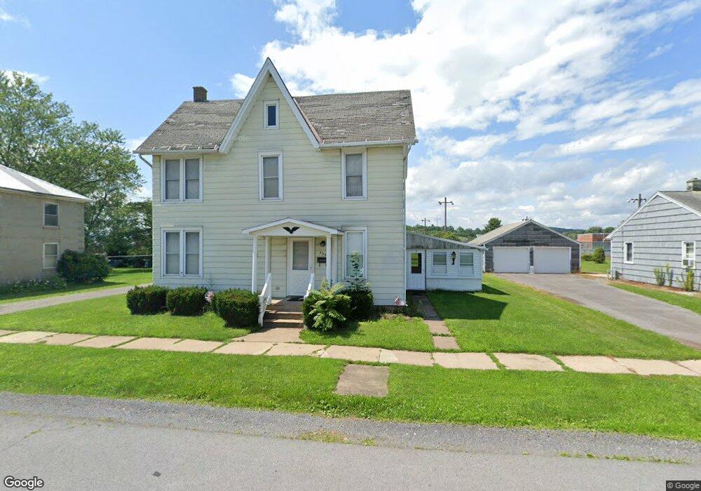
330 S Broad St Hughesville, PA 17737
Estimated Value: $143,000 - $196,000
3
Beds
1
Bath
1,800
Sq Ft
$98/Sq Ft
Est. Value
About This Home
This home is located at 330 S Broad St, Hughesville, PA 17737 and is currently estimated at $177,130, approximately $98 per square foot. 330 S Broad St is a home located in Lycoming County with nearby schools including Hughesville Junior/Senior High School.
Ownership History
Date
Name
Owned For
Owner Type
Purchase Details
Closed on
Aug 11, 2023
Sold by
Ibaugh Christina L
Bought by
Lycoming Commercial Improvements Llc
Current Estimated Value
Home Financials for this Owner
Home Financials are based on the most recent Mortgage that was taken out on this home.
Original Mortgage
$156,000
Outstanding Balance
$148,358
Interest Rate
6.71%
Mortgage Type
New Conventional
Estimated Equity
$28,772
Purchase Details
Closed on
Feb 1, 1969
Bought by
Miller Cloyd W and Miller Patricia A
Create a Home Valuation Report for This Property
The Home Valuation Report is an in-depth analysis detailing your home's value as well as a comparison with similar homes in the area
Home Values in the Area
Average Home Value in this Area
Purchase History
| Date | Buyer | Sale Price | Title Company |
|---|---|---|---|
| Lycoming Commercial Improvements Llc | $117,000 | None Listed On Document | |
| Miller Cloyd W | $13,000 | -- |
Source: Public Records
Mortgage History
| Date | Status | Borrower | Loan Amount |
|---|---|---|---|
| Open | Lycoming Commercial Improvements Llc | $156,000 |
Source: Public Records
Tax History Compared to Growth
Tax History
| Year | Tax Paid | Tax Assessment Tax Assessment Total Assessment is a certain percentage of the fair market value that is determined by local assessors to be the total taxable value of land and additions on the property. | Land | Improvement |
|---|---|---|---|---|
| 2025 | $2,763 | $97,290 | $23,340 | $73,950 |
| 2024 | $2,740 | $97,290 | $23,340 | $73,950 |
| 2023 | $2,667 | $97,290 | $23,340 | $73,950 |
| 2022 | $2,574 | $97,290 | $23,340 | $73,950 |
| 2021 | $2,518 | $97,290 | $23,340 | $73,950 |
| 2020 | $2,518 | $97,290 | $23,340 | $73,950 |
| 2019 | $2,079 | $97,290 | $23,340 | $73,950 |
| 2018 | $2,432 | $97,290 | $23,340 | $73,950 |
| 2017 | $2,316 | $97,290 | $23,340 | $73,950 |
| 2016 | $2,249 | $97,290 | $23,340 | $73,950 |
| 2015 | $2,249 | $97,290 | $23,340 | $73,950 |
Source: Public Records
Map
Nearby Homes
- PARCEL 300 State Route 405 Hwy
- 147 S Main St
- 158 S 4th St
- 172 S 4th St
- 58 N Railroad St
- 11 Fetter Dr
- 0 Route 220 Hwy
- 00 Route 220 Hwy
- 157 Red Barn Rd
- 164 N 3rd St
- 759 Woolen Mill Rd
- 41 Gregg Run Rd
- 51 Chel Dr
- 796 Ellis Artley Rd
- 126 Van Horn Blvd
- 2381 Pennsylvania 405 Unit LOT 90
- 66 Candy Ln
- 961 Baker Hill Rd
- 1092 Beaver Lake Rd
- 424 Kahler Hills Dr Unit 16
- 310 S Broad St
- 332 S Broad St
- 304 S Broad St
- 327 S Broad St
- 288 S Broad St
- 284 S Broad St
- 276 S Broad St
- 283 S Broad St
- 274 S Broad St
- 263 S Broad St
- 270 S Broad St
- 261 S Broad St
- 259 S Broad St
- 216 S Broad St
- 321 S Railroad St
- 335 S Railroad St
- 373 S Railroad St
- 341 S Railroad St
- 359 S Railroad St
- 98 W Park St