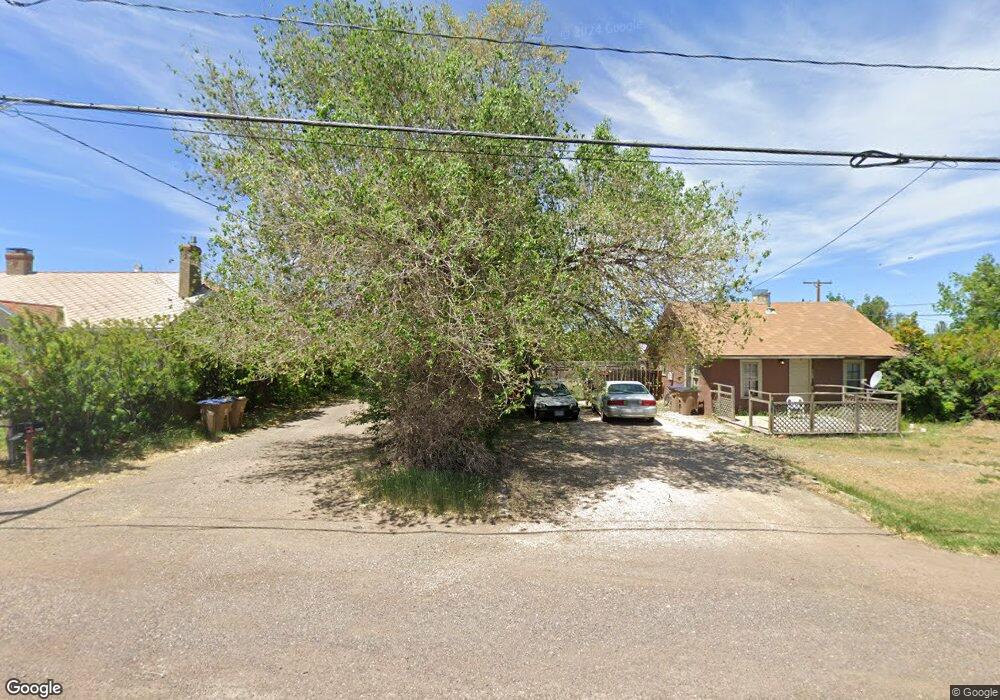
330 S Pierce St Unit A Laramie, WY 82070
Estimated Value: $215,000 - $336,000
3
Beds
1
Bath
1,680
Sq Ft
$153/Sq Ft
Est. Value
About This Home
This home is located at 330 S Pierce St Unit A, Laramie, WY 82070 and is currently estimated at $257,049, approximately $153 per square foot. 330 S Pierce St Unit A is a home located in Albany County with nearby schools including Velma Linford Elementary School, Laramie Middle School, and Laramie High School.
Ownership History
Date
Name
Owned For
Owner Type
Purchase Details
Closed on
Feb 6, 2024
Sold by
Aiken Shirley A and Aiken Roy E
Bought by
Roy E Aiken Living Trust and Shirley A Aiken Living Trust
Current Estimated Value
Purchase Details
Closed on
Feb 24, 2016
Sold by
Carver Brian D
Bought by
Carver Brian D and Carver Dawn
Home Financials for this Owner
Home Financials are based on the most recent Mortgage that was taken out on this home.
Original Mortgage
$100,000
Interest Rate
3.92%
Mortgage Type
New Conventional
Create a Home Valuation Report for This Property
The Home Valuation Report is an in-depth analysis detailing your home's value as well as a comparison with similar homes in the area
Home Values in the Area
Average Home Value in this Area
Purchase History
| Date | Buyer | Sale Price | Title Company |
|---|---|---|---|
| Roy E Aiken Living Trust | -- | None Listed On Document | |
| Carver Brian D | -- | First American Title |
Source: Public Records
Mortgage History
| Date | Status | Borrower | Loan Amount |
|---|---|---|---|
| Previous Owner | Carver Brian D | $100,000 |
Source: Public Records
Tax History Compared to Growth
Tax History
| Year | Tax Paid | Tax Assessment Tax Assessment Total Assessment is a certain percentage of the fair market value that is determined by local assessors to be the total taxable value of land and additions on the property. | Land | Improvement |
|---|---|---|---|---|
| 2025 | $1,246 | $13,263 | $3,740 | $9,523 |
| 2024 | $1,246 | $17,069 | $4,795 | $12,274 |
| 2023 | $1,225 | $16,780 | $4,795 | $11,985 |
| 2022 | $1,083 | $14,838 | $4,795 | $10,043 |
| 2021 | $934 | $13,598 | $4,795 | $8,803 |
| 2020 | $955 | $13,076 | $4,363 | $8,713 |
| 2019 | $1,015 | $13,903 | $4,363 | $9,540 |
| 2018 | $934 | $12,797 | $3,717 | $9,080 |
| 2017 | $930 | $12,739 | $3,717 | $9,022 |
| 2016 | $899 | $12,313 | $3,647 | $8,666 |
| 2015 | $934 | $13,145 | $5,015 | $8,130 |
| 2014 | $934 | $12,797 | $0 | $0 |
Source: Public Records
Map
Nearby Homes
- 370 S Buchanan St
- 427 S Pierce St
- 529 S Pierce St
- 2075 Jefferson St
- 1866 Truman St
- 2166 W Wyoming Ave Unit 29
- 2166 W Wyoming Ave Unit 25
- 1990 Truman St
- 627 S Colorado Ave
- 1012 A-B S Colorado Ave
- 541 S Johnson St
- 153 N Adams St
- 174 N Colorado Ave
- 262 N Taylor St Unit 5
- 2260 Franklin St Unit 27
- 2260 Franklin St Unit 38
- 1416 S Colorado Ave
- 1414 S Colorado Ave
- 1412 S Colorado Ave
- 1410 S Colorado Ave
- 326 S Pierce St
- 318 S Pierce St
- 1875 Snowy Range Rd
- 319 S Buchanan St
- 312 S Pierce St
- 315 S Buchanan St
- 1774 S Pierce St
- 304 S Pierce St
- 1872 Monroe St
- 307 S Pierce St
- 405 S Buchanan St
- 316 S Buchanan St
- 422 S Pierce St
- 1774 Snowy Range
- 312 S Buchanan St
- 1965 Snowy Range Rd
- 236 S Pierce St
- 306 S Buchanan St
- 233 S Buchanan St
- 316 S Fillmore St