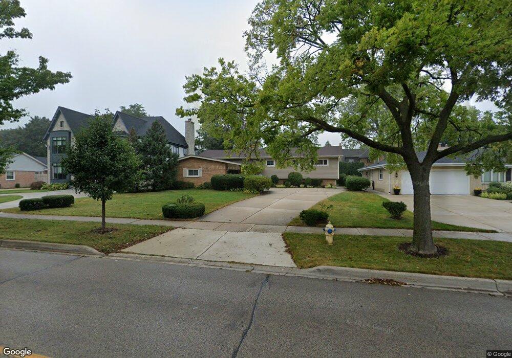
330 S York St Elmhurst, IL 60126
Estimated Value: $735,000 - $954,000
5
Beds
3
Baths
1,918
Sq Ft
$417/Sq Ft
Est. Value
About This Home
This home is located at 330 S York St, Elmhurst, IL 60126 and is currently estimated at $800,414, approximately $417 per square foot. 330 S York St is a home located in DuPage County with nearby schools including Reinberg Elementary School, Ruggles Elementary School, and Hawthorne Elementary School.
Ownership History
Date
Name
Owned For
Owner Type
Purchase Details
Closed on
Dec 20, 2021
Sold by
Lee Barry and Lee Lilliann
Bought by
Lee Barry and Lee Lilliann Wai
Current Estimated Value
Purchase Details
Closed on
Jan 30, 2004
Sold by
Lee Barry
Bought by
Lee Barry and Lee Lillian
Purchase Details
Closed on
Aug 1, 2003
Sold by
Wynne Joseph and Wynne Margaret
Bought by
Lee Barry
Home Financials for this Owner
Home Financials are based on the most recent Mortgage that was taken out on this home.
Original Mortgage
$300,000
Outstanding Balance
$130,664
Interest Rate
5.47%
Mortgage Type
Purchase Money Mortgage
Estimated Equity
$669,750
Create a Home Valuation Report for This Property
The Home Valuation Report is an in-depth analysis detailing your home's value as well as a comparison with similar homes in the area
Home Values in the Area
Average Home Value in this Area
Purchase History
| Date | Buyer | Sale Price | Title Company |
|---|---|---|---|
| Lee Barry | -- | Attorney | |
| Lee Barry | -- | -- | |
| Lee Barry | $508,000 | Git |
Source: Public Records
Mortgage History
| Date | Status | Borrower | Loan Amount |
|---|---|---|---|
| Open | Lee Barry | $300,000 |
Source: Public Records
Tax History Compared to Growth
Tax History
| Year | Tax Paid | Tax Assessment Tax Assessment Total Assessment is a certain percentage of the fair market value that is determined by local assessors to be the total taxable value of land and additions on the property. | Land | Improvement |
|---|---|---|---|---|
| 2024 | $12,703 | $218,789 | $86,155 | $132,634 |
| 2023 | $11,797 | $202,320 | $79,670 | $122,650 |
| 2022 | $11,429 | $194,480 | $76,580 | $117,900 |
| 2021 | $11,581 | $196,790 | $74,680 | $122,110 |
| 2020 | $11,134 | $192,470 | $73,040 | $119,430 |
| 2019 | $10,902 | $182,990 | $69,440 | $113,550 |
| 2018 | $10,978 | $183,210 | $65,750 | $117,460 |
| 2017 | $10,741 | $174,580 | $62,650 | $111,930 |
| 2016 | $10,519 | $164,460 | $59,020 | $105,440 |
| 2015 | $10,419 | $153,210 | $54,980 | $98,230 |
| 2014 | $11,404 | $153,980 | $50,180 | $103,800 |
| 2013 | $11,279 | $156,150 | $50,890 | $105,260 |
Source: Public Records
Map
Nearby Homes
- 211 N Hwy N
- 219 E Saint Charles Rd
- 500 S Kenilworth Ave
- 224 E May St
- 15 Manchester Ln
- 28 Windsor Dr
- 145 S York St Unit 404
- 145 S York St Unit 322
- 153 S Kenmore Ave
- 131 W Adelaide St Unit 309
- 333 E Huntington Ln
- 570 S Parkside Ave
- 105 S Cottage Hill Ave Unit 304
- 580 S Kearsage Ave
- 199 S Linden Ave
- 349 E Parkview Ave
- 611 S Prospect Ave
- 110 N Pine St
- 128 S Linden Ave
- 618 S Swain Ave
- 336 S York St
- 326 S York St
- 340 S York St
- 333 S Sturges Pkwy
- 104 W Harbor Terrace
- 211 N Route 83 Hwy
- 0 S 417 Cedar Ave
- Lot #6 Kenilworth Ave
- 9999 W Confidential St
- 9999 Confidential St
- 8888 Confidential Ave
- 9999 Confidential Rd
- 999 Confidential Ave
- 999 S Confidential St
- 999 E Confidential St
- 000 Fremont Ave
- 0 Third Ave and Bonnie Ave Unit 7875577
- 0 Third Ave and Bonnie Ave Unit 8062960
- 0 Third & Bonnie Brae Ave Unit 8415946
- 240 Frontage Rd