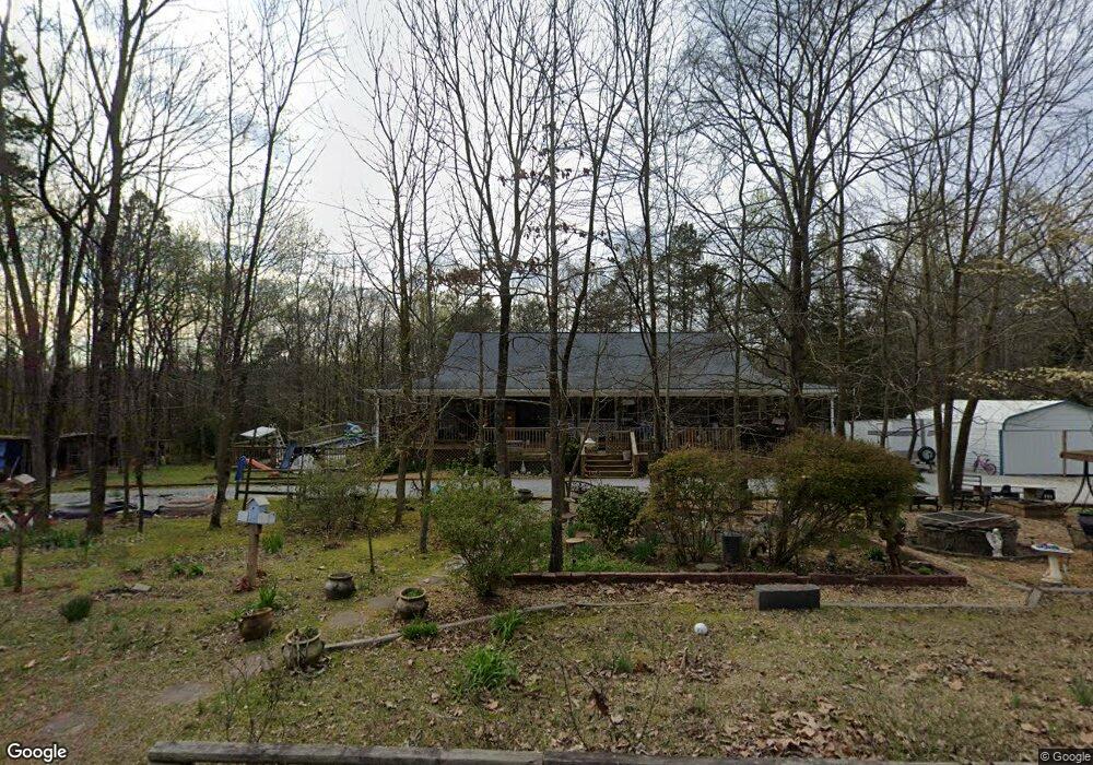
330 Shepard Rd Carnesville, GA 30521
Estimated Value: $348,917 - $618,000
3
Beds
2
Baths
2,080
Sq Ft
$203/Sq Ft
Est. Value
About This Home
This home is located at 330 Shepard Rd, Carnesville, GA 30521 and is currently estimated at $422,979, approximately $203 per square foot. 330 Shepard Rd is a home located in Franklin County with nearby schools including Franklin County High School.
Ownership History
Date
Name
Owned For
Owner Type
Purchase Details
Closed on
Feb 23, 2009
Sold by
Holbrooks James
Bought by
Bagwell Margaret Sue
Current Estimated Value
Purchase Details
Closed on
Apr 10, 2006
Sold by
Sorrow Tim
Bought by
Holbrooks James and Bagwell Sue
Purchase Details
Closed on
Jan 23, 2003
Sold by
Ivey Hayward S
Bought by
Sorrow Tim
Purchase Details
Closed on
Aug 30, 2002
Sold by
Durham Stacey M
Bought by
Ivey Hayward S
Purchase Details
Closed on
Dec 9, 2000
Sold by
Martin Frances
Bought by
Durham Stacey M
Purchase Details
Closed on
Feb 22, 1991
Bought by
Martin Frances
Create a Home Valuation Report for This Property
The Home Valuation Report is an in-depth analysis detailing your home's value as well as a comparison with similar homes in the area
Purchase History
| Date | Buyer | Sale Price | Title Company |
|---|---|---|---|
| Bagwell Margaret Sue | -- | -- | |
| Bagwell Margaret Sue | -- | -- | |
| Holbrooks James | $6,500 | -- | |
| Sorrow Tim | $6,500 | -- | |
| Ivey Hayward S | $6,500 | -- | |
| Durham Stacey M | -- | -- | |
| Martin Frances | $4,100 | -- |
Source: Public Records
Tax History
| Year | Tax Paid | Tax Assessment Tax Assessment Total Assessment is a certain percentage of the fair market value that is determined by local assessors to be the total taxable value of land and additions on the property. | Land | Improvement |
|---|---|---|---|---|
| 2025 | $2,865 | $125,979 | $12,222 | $113,757 |
| 2024 | $2,741 | $117,139 | $5,369 | $111,770 |
| 2023 | $2,705 | $106,835 | $4,881 | $101,954 |
| 2022 | $2,445 | $96,760 | $3,804 | $92,956 |
| 2021 | $2,247 | $83,676 | $3,804 | $79,872 |
| 2020 | $2,271 | $83,676 | $3,804 | $79,872 |
| 2019 | $2,194 | $83,676 | $3,804 | $79,872 |
| 2018 | $1,945 | $74,386 | $3,928 | $70,458 |
| 2017 | $1,930 | $71,112 | $3,928 | $67,184 |
| 2016 | $1,834 | $64,840 | $3,928 | $60,912 |
| 2015 | -- | $64,840 | $3,928 | $60,912 |
| 2014 | -- | $64,840 | $3,928 | $60,912 |
| 2013 | -- | $65,524 | $3,928 | $61,596 |
Source: Public Records
Map
Nearby Homes
- 0 Old Federal Rd Unit 6931372
- 19 Kathryn Way
- HWY 51 Owl Hollow Rd
- 14 Kristy Ln
- 6343 Georgia 198
- 150 Garrison Rd
- 8750 Sandy Cross Rd
- 1191 Plain View Rd
- 262 Garrison Rd
- 0 Morris Trail Unit 10394631
- 0 Morris Trail Unit 7470661
- 2125 Westbrook Rd
- 24302 Georgia 59
- 2100 Westbrook Rd
- 2090 Southern Seed Way
- 340 Mcfarlin Blvd
- 0 Varner Rd
- 7660 Sandy Cross Rd
- 0 Georgia 198
- 0 Kesler Rd Unit 10664561
- 337 Shepard Rd
- 0 Payne Ln Unit 7163417
- 251 Shepard Rd
- 367 Shepard Rd
- 363 Clareburn Trail
- 521 Clareburn Trail
- 50 Shepard Rd
- 11500 Highway 51
- 11540 Georgia 51
- 11500 Old Federal Rd
- 11276 Old Federal Rd
- 11581 Old Federal Rd
- 0 Hwy 51n Unit 20068785
- 0 Shepard Rd Unit 10431318
- 0 Shepard Rd Unit 11356506
- 0 Shephard Rd Unit 16.20AC 8166966
- 0 Shephard Rd Unit 16.20AC
- 11312 Old Federal Rd
- 11410 Old Federal Rd
- 10990 Old Federal Rd Highway 51
Your Personal Tour Guide
Ask me questions while you tour the home.