330 Sunderland Rd Unit 8 Worcester, MA 01604
Broadmeadow Brook NeighborhoodEstimated Value: $256,000 - $312,000
2
Beds
2
Baths
1,200
Sq Ft
$247/Sq Ft
Est. Value
About This Home
This home is located at 330 Sunderland Rd Unit 8, Worcester, MA 01604 and is currently estimated at $296,343, approximately $246 per square foot. 330 Sunderland Rd Unit 8 is a home located in Worcester County with nearby schools including Roosevelt Elementary School, Jacob Hiatt Magnet School, and Chandler Magnet.
Ownership History
Date
Name
Owned For
Owner Type
Purchase Details
Closed on
Feb 19, 2021
Sold by
Bentum-Asante Gifty A
Bought by
Toffey Sandra
Current Estimated Value
Purchase Details
Closed on
Jun 26, 1997
Sold by
Minter Mark B and Habib Michael D
Bought by
Eshun Gifty A
Home Financials for this Owner
Home Financials are based on the most recent Mortgage that was taken out on this home.
Original Mortgage
$54,400
Interest Rate
7.81%
Mortgage Type
Purchase Money Mortgage
Create a Home Valuation Report for This Property
The Home Valuation Report is an in-depth analysis detailing your home's value as well as a comparison with similar homes in the area
Home Values in the Area
Average Home Value in this Area
Purchase History
| Date | Buyer | Sale Price | Title Company |
|---|---|---|---|
| Toffey Sandra | $150,000 | None Available | |
| Eshun Gifty A | $68,000 | -- |
Source: Public Records
Mortgage History
| Date | Status | Borrower | Loan Amount |
|---|---|---|---|
| Previous Owner | Eshun Gifty A | $72,000 | |
| Previous Owner | Eshun Gifty A | $54,400 |
Source: Public Records
Tax History Compared to Growth
Tax History
| Year | Tax Paid | Tax Assessment Tax Assessment Total Assessment is a certain percentage of the fair market value that is determined by local assessors to be the total taxable value of land and additions on the property. | Land | Improvement |
|---|---|---|---|---|
| 2025 | $3,391 | $257,100 | $0 | $257,100 |
| 2024 | $3,242 | $235,800 | $0 | $235,800 |
| 2023 | $3,050 | $212,700 | $0 | $212,700 |
| 2022 | $3,012 | $198,000 | $0 | $198,000 |
| 2021 | $2,818 | $173,100 | $0 | $173,100 |
| 2020 | $2,734 | $160,800 | $0 | $160,800 |
| 2019 | $2,745 | $152,500 | $0 | $152,500 |
| 2018 | $2,812 | $148,700 | $0 | $148,700 |
| 2017 | $2,625 | $136,600 | $0 | $136,600 |
| 2016 | $2,815 | $136,600 | $0 | $136,600 |
| 2015 | $2,742 | $136,600 | $0 | $136,600 |
| 2014 | $2,611 | $133,600 | $0 | $133,600 |
Source: Public Records
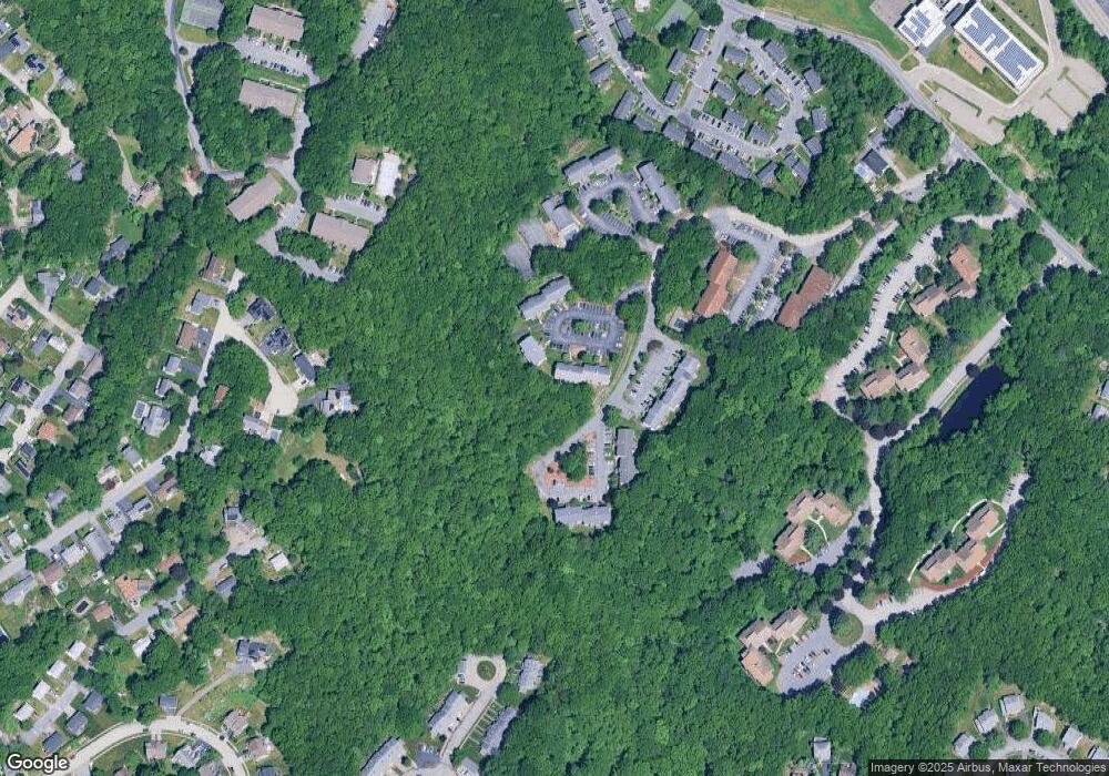
Map
Nearby Homes
- 330 Sunderland Rd Unit 78
- 330 Sunderland Rd Unit 87
- 340 Sunderland Rd Unit 23
- 270 Sunderland Rd Unit 37
- 25 Stoneham Rd
- 266 Massasoit Rd
- 259 Massasoit Rd
- 7 Lorraine Rd
- 53 Denver Terrace
- 1201 Grafton St Unit 73
- 7 Atlas St
- 232 Weatherstone Dr
- 31 Crane St
- 65 Progressive St
- 63 Progressive St
- 11 Benson St
- 11 Phoenix St
- 24 Benham St Unit B
- 62 Allston Ave
- 589 Sunderland Rd
- 330 Sunderland Rd Unit 95
- 330 Sunderland Rd Unit 59
- 330 Sunderland Rd Unit 74
- 330 Sunderland Rd Unit 67
- 330 Sunderland Rd Unit 60
- 330 Sunderland Rd Unit 18
- 330 Sunderland Rd Unit 86
- 330 Sunderland Rd Unit 44-H
- 330 Sunderland Rd Unit 71
- 330 Sunderland Rd Unit 80
- 330 Sunderland Rd Unit 26
- 330 Sunderland Rd Unit 35
- 330 Sunderland Rd Unit 77
- 330 Sunderland Rd Unit 73
- 330 Sunderland Rd Unit 64
- 330 Sunderland Rd Unit 90
- 330 Sunderland Rd Unit 5
- 330 Sunderland Rd Unit 1
- 330 Sunderland Rd Unit 55,J
- 330 Sunderland Rd Unit 37G