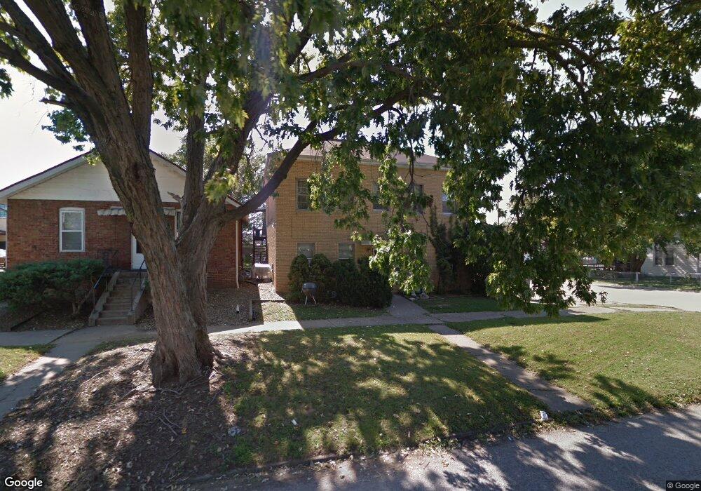
330 W Mason St Springfield, IL 62702
Oak Ridge NeighborhoodEstimated Value: $101,803
--
Bed
--
Bath
2,772
Sq Ft
$37/Sq Ft
Est. Value
About This Home
This home is located at 330 W Mason St, Springfield, IL 62702 and is currently priced at $101,803, approximately $36 per square foot. 330 W Mason St is a home located in Sangamon County with nearby schools including Enos Elementary School, U.S. Grant Middle School, and Springfield High School.
Ownership History
Date
Name
Owned For
Owner Type
Purchase Details
Closed on
Feb 24, 2025
Sold by
Jj10 Properties Llc
Bought by
Wilmarth Renewals Llc
Current Estimated Value
Home Financials for this Owner
Home Financials are based on the most recent Mortgage that was taken out on this home.
Original Mortgage
$315,000
Outstanding Balance
$313,440
Interest Rate
7.04%
Mortgage Type
New Conventional
Purchase Details
Closed on
Dec 1, 2000
Purchase Details
Closed on
Apr 19, 2000
Create a Home Valuation Report for This Property
The Home Valuation Report is an in-depth analysis detailing your home's value as well as a comparison with similar homes in the area
Home Values in the Area
Average Home Value in this Area
Purchase History
| Date | Buyer | Sale Price | Title Company |
|---|---|---|---|
| Wilmarth Renewals Llc | $235,000 | None Listed On Document | |
| Jj10 Properties Llc | $215,000 | None Listed On Document | |
| -- | $55,000 | -- | |
| -- | -- | -- |
Source: Public Records
Mortgage History
| Date | Status | Borrower | Loan Amount |
|---|---|---|---|
| Open | Wilmarth Renewals Llc | $315,000 |
Source: Public Records
Tax History Compared to Growth
Tax History
| Year | Tax Paid | Tax Assessment Tax Assessment Total Assessment is a certain percentage of the fair market value that is determined by local assessors to be the total taxable value of land and additions on the property. | Land | Improvement |
|---|---|---|---|---|
| 2024 | $2,657 | $31,627 | $9,731 | $21,896 |
| 2023 | $2,554 | $28,888 | $8,888 | $20,000 |
| 2022 | $1,984 | $22,142 | $8,431 | $13,711 |
| 2021 | $1,918 | $21,313 | $8,115 | $13,198 |
| 2020 | $1,880 | $21,345 | $8,127 | $13,218 |
| 2019 | $1,845 | $21,271 | $8,099 | $13,172 |
| 2018 | $1,934 | $22,888 | $8,060 | $14,828 |
| 2017 | $1,894 | $22,592 | $7,956 | $14,636 |
| 2016 | $1,857 | $22,263 | $7,840 | $14,423 |
| 2015 | $1,839 | $21,997 | $7,746 | $14,251 |
| 2014 | $1,811 | $21,855 | $7,696 | $14,159 |
| 2013 | $1,771 | $21,855 | $7,696 | $14,159 |
Source: Public Records
Map
Nearby Homes
- 342 W Reynolds St
- 420 W Reynolds St
- 411 W Carpenter St
- 524 W Carpenter St
- 700 W Jefferson St
- 629 W Washington St
- 519 W Herndon St
- 206 S Walnut St
- 202 S Glenwood Ave
- 616 W Calhoun Ave
- 421 Jackson Pkwy
- 108 S Macarthur Blvd
- 225 N English Ave
- 165 N English Ave
- 1042 N 1st St
- 401 W Elliott Ave
- 922 N 4th St
- 8 S Old State Capitol Plaza Unit A
- 617 W Edwards St
- 923 N 5th St
- 328 W Mason St
- 326 N Logan Ave
- 324 N Logan Ave
- 322 N Logan Ave
- 322 W Mason St
- 404 W Mason St
- 307 N Logan Ave
- 317 N Logan Ave
- 320 N Logan Ave
- 331 W Mason St
- 327 W Mason St
- 319 W Mason St
- 401 W Mason St
- 315 N Logan Ave
- 321 W Mason St
- 405 W Mason St
- 408 W Mason St
- 408 Mason + Other Addresses
- 311 N Logan Ave
- 420 W Mason St