330 Wildwood Trail Weatherford, TX 76085
Estimated Value: $465,000 - $561,000
--
Bed
--
Bath
2,253
Sq Ft
$227/Sq Ft
Est. Value
About This Home
This home is located at 330 Wildwood Trail, Weatherford, TX 76085 and is currently estimated at $510,886, approximately $226 per square foot. 330 Wildwood Trail is a home with nearby schools including Crockett Elementary School, Tison Middle School, and Weatherford High School.
Ownership History
Date
Name
Owned For
Owner Type
Purchase Details
Closed on
Apr 16, 2013
Sold by
Belding Barbara N
Bought by
Sanders Curtis and Sanders Trevelene
Current Estimated Value
Purchase Details
Closed on
May 4, 2012
Sold by
Belding Paul E and Belding Barbara
Bought by
Sanders Curtis and Sanders Trevelene
Purchase Details
Closed on
Oct 25, 1993
Bought by
Sanders Curtis and Sanders Trevelene
Purchase Details
Closed on
Mar 27, 1989
Bought by
Sanders Curtis and Sanders Trevelene
Create a Home Valuation Report for This Property
The Home Valuation Report is an in-depth analysis detailing your home's value as well as a comparison with similar homes in the area
Home Values in the Area
Average Home Value in this Area
Purchase History
| Date | Buyer | Sale Price | Title Company |
|---|---|---|---|
| Sanders Curtis | -- | -- | |
| Sanders Curtis | -- | Parker County Title Services | |
| Sanders Curtis | -- | -- | |
| Belding Barbara N | -- | None Available | |
| Sanders Curtis | -- | -- | |
| Sanders Curtis | -- | -- |
Source: Public Records
Tax History Compared to Growth
Tax History
| Year | Tax Paid | Tax Assessment Tax Assessment Total Assessment is a certain percentage of the fair market value that is determined by local assessors to be the total taxable value of land and additions on the property. | Land | Improvement |
|---|---|---|---|---|
| 2025 | $1,559 | $395,160 | $28,580 | $366,580 |
| 2024 | $1,559 | $366,806 | -- | -- |
| 2023 | $1,559 | $333,460 | $0 | $0 |
| 2022 | $5,644 | $303,150 | $19,010 | $284,140 |
| 2021 | $6,106 | $303,150 | $19,010 | $284,140 |
| 2020 | $6,160 | $303,680 | $11,160 | $292,520 |
| 2019 | $6,571 | $303,680 | $11,160 | $292,520 |
| 2018 | $6,169 | $283,620 | $8,860 | $274,760 |
| 2017 | $5,994 | $283,620 | $8,860 | $274,760 |
| 2016 | $5,449 | $245,510 | $8,860 | $236,650 |
| 2015 | $18 | $100,840 | $0 | $0 |
| 2014 | $16 | $99,220 | $0 | $0 |
Source: Public Records
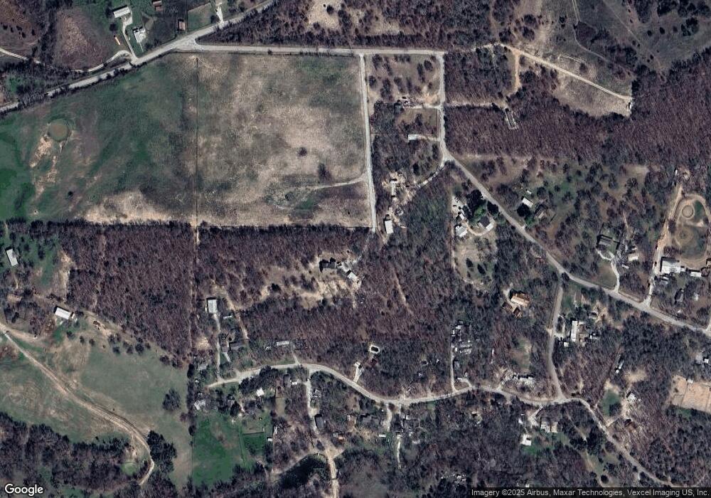
Map
Nearby Homes
- 470 Wildwood Trail
- 513 Lantana Dr
- 4133 Old Springtown Rd
- 707 Wells Ln
- 505 Aermotor Loop
- 181 Fan Mill Trail
- 197 Fan Mill Trail
- 1357 Friendship Rd
- 4105 Old Springtown Rd
- 4005 Farm To Market 51
- 106 Hedges Cir
- 3930 Old Springtown Rd
- 4005 N Fm 51
- 901 Green Branch Rd
- 400 Texas Sage Trail
- 524 Lantana Dr
- Aster Plan at Eagle Ridge Estates
- Cedar Sage Plan at Eagle Ridge Estates
- 408 Texas Sage Trail
- 424 Texas Sage Trail
- 408 Wildwood Trail
- 408 Wildwood Trail
- 1576 Wildwood Trail
- 392 Wildwood Trail
- 1630 Wildwood Trail
- 1512 Wildwood Trail
- 364 Wildwood Trail
- 1480 Wildwood Trail
- 1615 Wildwood Trail
- 1680 Wildwood Trail
- 498 Wildwood Trail
- 1543 Wildwood Trail
- 1527 Wildwood Trail
- 499 Wildwood Trail
- 1429 Wildwood Trail
- 1681 Wildwood Trail
- 1444 Wildwood Trail
- 141 Possum Pass
- 595 Wildwood Trail
- 1397 Wildwood Trail