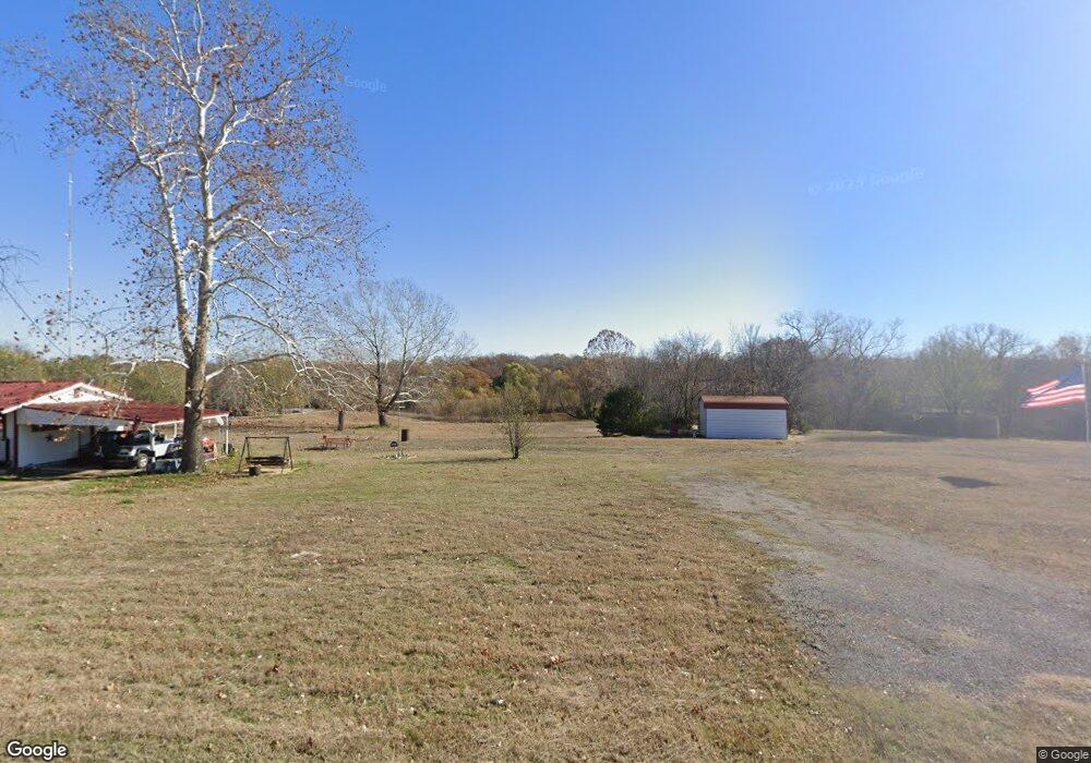
3300 McDonald Dr Bristow, OK 74010
Estimated Value: $87,000 - $116,000
2
Beds
1
Bath
640
Sq Ft
$165/Sq Ft
Est. Value
About This Home
This home is located at 3300 McDonald Dr, Bristow, OK 74010 and is currently estimated at $105,598, approximately $164 per square foot. 3300 McDonald Dr is a home located in Creek County with nearby schools including Edison Elementary School, Collins Elementary School, and Bristow Middle School.
Ownership History
Date
Name
Owned For
Owner Type
Purchase Details
Closed on
Jan 5, 2009
Sold by
Peck Calvin J and Peck Priscilla A
Bought by
Edson Wanda J
Current Estimated Value
Home Financials for this Owner
Home Financials are based on the most recent Mortgage that was taken out on this home.
Original Mortgage
$49,903
Outstanding Balance
$32,747
Interest Rate
5.99%
Mortgage Type
FHA
Estimated Equity
$72,851
Purchase Details
Closed on
Dec 1, 2005
Sold by
Keys Mary
Bought by
Peck Calvin J and Peck Priscilla A
Purchase Details
Closed on
Jan 6, 2000
Sold by
Dorman and Dorman Fritchey
Purchase Details
Closed on
Feb 10, 1999
Sold by
Skaggs Mildred G
Create a Home Valuation Report for This Property
The Home Valuation Report is an in-depth analysis detailing your home's value as well as a comparison with similar homes in the area
Home Values in the Area
Average Home Value in this Area
Purchase History
| Date | Buyer | Sale Price | Title Company |
|---|---|---|---|
| Edson Wanda J | $52,000 | -- | |
| Peck Calvin J | $36,000 | None Available | |
| -- | $12,000 | -- | |
| -- | $5,000 | -- |
Source: Public Records
Mortgage History
| Date | Status | Borrower | Loan Amount |
|---|---|---|---|
| Open | Edson Wanda J | $49,903 |
Source: Public Records
Tax History Compared to Growth
Tax History
| Year | Tax Paid | Tax Assessment Tax Assessment Total Assessment is a certain percentage of the fair market value that is determined by local assessors to be the total taxable value of land and additions on the property. | Land | Improvement |
|---|---|---|---|---|
| 2025 | $614 | $7,242 | $2,721 | $4,521 |
| 2024 | $614 | $7,241 | $2,608 | $4,633 |
| 2023 | $614 | $7,242 | $2,818 | $4,424 |
| 2022 | $577 | $7,031 | $2,818 | $4,213 |
| 2021 | $645 | $7,720 | $2,818 | $4,902 |
| 2020 | $602 | $7,495 | $2,818 | $4,677 |
| 2019 | $586 | $7,277 | $2,818 | $4,459 |
| 2018 | $577 | $7,023 | $2,818 | $4,205 |
| 2017 | $560 | $6,819 | $2,818 | $4,001 |
| 2016 | $548 | $6,620 | $2,818 | $3,802 |
| 2015 | -- | $6,428 | $2,818 | $3,610 |
| 2014 | -- | $6,240 | $2,818 | $3,422 |
Source: Public Records
Map
Nearby Homes
- 41377 W Highway 66
- 137 E 11th Ave
- 0 State Highway 48
- 608 N Elm St
- 302 E 8th Ave
- 619 E 6th Ave
- 106 N Main St
- 32380 W Highway 33
- 551 W 10th Ave
- 610 E 4th Ave
- 34335 W Highway 16
- 236 W 6th Ave
- 515 W 8th Ave
- 602 W 7th Ave
- 611 S Cedar St
- 619 W 6th Ave
- 701 S Poplar St
- 409 Wildflower Run
- 810 S Walnut
- 904 S Hickory St
- 3566 McDonald Dr
- 0 McDonald Cir Unit 1605862
- 1147 McDonald Cir
- 343 McDonald Cir
- 1149 McDonald Cir
- 0 McDonald Rd Unit 1926876
- 4143 McDonald Dr
- 1950 McDonald Dr
- 343 McDonald Dr
- 35194 W 214th St S
- 21287 S 349th West Ave
- 32485 W Highway 66
- 32105 W Highway 66
- 28502 W Highway 66
- null W Highway 66
- 29901 W Highway 66
- 0 W Highway 66
- 000 W Highway 66
- 238 McDonald Dr
- 35223 W 214th St S