3301 Grant Rd Central Point, OR 97502
Estimated Value: $543,000 - $951,510
3
Beds
2
Baths
2,317
Sq Ft
$295/Sq Ft
Est. Value
About This Home
This home is located at 3301 Grant Rd, Central Point, OR 97502 and is currently estimated at $683,503, approximately $294 per square foot. 3301 Grant Rd is a home located in Jackson County with nearby schools including Richardson Elementary School, Scenic Middle School, and Crater High School.
Ownership History
Date
Name
Owned For
Owner Type
Purchase Details
Closed on
May 9, 2023
Sold by
Brian More Revocable Trust
Bought by
Morshead David
Current Estimated Value
Home Financials for this Owner
Home Financials are based on the most recent Mortgage that was taken out on this home.
Original Mortgage
$205,000
Outstanding Balance
$198,556
Interest Rate
6.32%
Mortgage Type
New Conventional
Estimated Equity
$484,947
Purchase Details
Closed on
Dec 5, 2018
Sold by
Morse Brian L and Hansen Marcy J
Bought by
Morse Brian L
Purchase Details
Closed on
Dec 12, 2002
Sold by
Brite Jon E and Brite Sharon L
Bought by
Morse Brian L and Morse Marcy J
Home Financials for this Owner
Home Financials are based on the most recent Mortgage that was taken out on this home.
Original Mortgage
$258,400
Interest Rate
6.06%
Create a Home Valuation Report for This Property
The Home Valuation Report is an in-depth analysis detailing your home's value as well as a comparison with similar homes in the area
Purchase History
| Date | Buyer | Sale Price | Title Company |
|---|---|---|---|
| Morshead David | $950,000 | Ticor Title | |
| Morse Brian L | -- | Accommodation | |
| Morse Brian L | $323,000 | Amerititle |
Source: Public Records
Mortgage History
| Date | Status | Borrower | Loan Amount |
|---|---|---|---|
| Open | Morshead David | $205,000 | |
| Previous Owner | Morse Brian L | $258,400 |
Source: Public Records
Tax History
| Year | Tax Paid | Tax Assessment Tax Assessment Total Assessment is a certain percentage of the fair market value that is determined by local assessors to be the total taxable value of land and additions on the property. | Land | Improvement |
|---|---|---|---|---|
| 2026 | $4,656 | $345,750 | $156,540 | $189,210 |
| 2025 | $4,549 | $370,250 | $119,360 | $250,890 |
| 2024 | $4,549 | $359,470 | $127,570 | $231,900 |
| 2023 | $4,397 | $349,000 | $123,850 | $225,150 |
| 2022 | $4,304 | $349,000 | $123,850 | $225,150 |
| 2021 | $4,182 | $338,840 | $120,230 | $218,610 |
| 2020 | $4,060 | $328,980 | $116,730 | $212,250 |
| 2019 | $3,966 | $310,100 | $110,020 | $200,080 |
| 2018 | $3,843 | $301,070 | $106,810 | $194,260 |
| 2017 | $3,752 | $301,070 | $106,810 | $194,260 |
| 2016 | $3,642 | $283,800 | $100,680 | $183,120 |
| 2015 | $3,474 | $283,800 | $100,680 | $183,120 |
| 2014 | $3,390 | $267,520 | $94,900 | $172,620 |
Source: Public Records
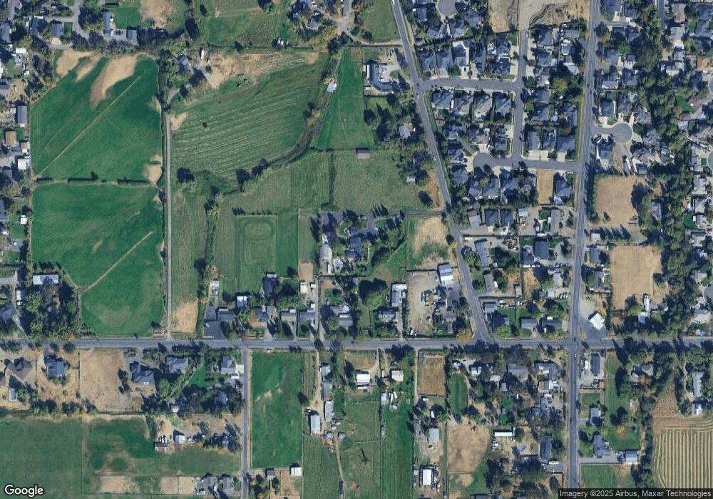
Map
Nearby Homes
- 3288 Grant Rd
- 3200 Hanley Rd
- 570 Bachand Cir
- 296 Brandon St
- 3220 Freeland Rd
- 3307 Freeland Rd
- 3371 Freeland Rd
- 884 Mendolia Way
- 895 Holley Way
- 871 Holley Way
- 209 Corcoran Ln
- 349 W Pine St
- 407 Silver Creek Dr
- 1630 Timothy St
- 404 Silver Creek Dr
- 185 Logan Ave
- 436 Cheney Loop
- 1189 Lindsey Ct
- 1134 Steamboat Dr
- 659 Blue Moon Dr
Your Personal Tour Guide
Ask me questions while you tour the home.