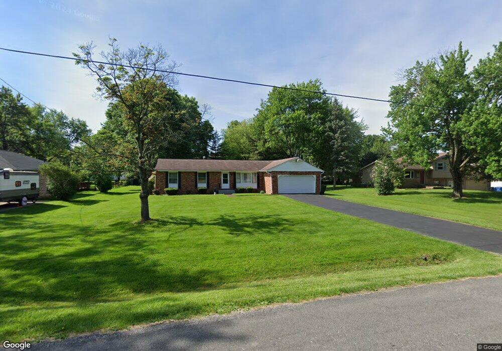
3302 Brenner Rd Barberton, OH 44203
Estimated Value: $261,000 - $302,000
3
Beds
2
Baths
1,474
Sq Ft
$191/Sq Ft
Est. Value
About This Home
This home is located at 3302 Brenner Rd, Barberton, OH 44203 and is currently estimated at $281,844, approximately $191 per square foot. 3302 Brenner Rd is a home located in Summit County with nearby schools including Copley-Fairlawn Middle School, Copley High School, and Spring Garden Waldorf School.
Ownership History
Date
Name
Owned For
Owner Type
Purchase Details
Closed on
Dec 15, 2009
Sold by
Schmeltzer Patricia A
Bought by
Trares Matthew P
Current Estimated Value
Home Financials for this Owner
Home Financials are based on the most recent Mortgage that was taken out on this home.
Original Mortgage
$102,800
Outstanding Balance
$67,464
Interest Rate
5.02%
Mortgage Type
New Conventional
Estimated Equity
$214,380
Create a Home Valuation Report for This Property
The Home Valuation Report is an in-depth analysis detailing your home's value as well as a comparison with similar homes in the area
Home Values in the Area
Average Home Value in this Area
Purchase History
| Date | Buyer | Sale Price | Title Company |
|---|---|---|---|
| Trares Matthew P | $128,500 | Attorney |
Source: Public Records
Mortgage History
| Date | Status | Borrower | Loan Amount |
|---|---|---|---|
| Open | Trares Matthew P | $102,800 |
Source: Public Records
Tax History
| Year | Tax Paid | Tax Assessment Tax Assessment Total Assessment is a certain percentage of the fair market value that is determined by local assessors to be the total taxable value of land and additions on the property. | Land | Improvement |
|---|---|---|---|---|
| 2025 | $3,826 | $72,363 | $9,951 | $62,412 |
| 2024 | $3,826 | $72,363 | $9,951 | $62,412 |
| 2023 | $3,826 | $72,363 | $9,951 | $62,412 |
| 2022 | $3,728 | $57,751 | $9,216 | $48,535 |
| 2021 | $3,439 | $57,751 | $9,216 | $48,535 |
| 2020 | $3,895 | $67,010 | $9,220 | $57,790 |
| 2019 | $3,137 | $48,680 | $9,220 | $39,460 |
| 2018 | $2,983 | $48,680 | $9,220 | $39,460 |
| 2017 | $2,780 | $48,680 | $9,220 | $39,460 |
| 2016 | $2,777 | $43,570 | $9,220 | $34,350 |
| 2015 | $2,780 | $43,570 | $9,220 | $34,350 |
| 2014 | $2,761 | $43,570 | $9,220 | $34,350 |
| 2013 | $2,923 | $46,790 | $9,220 | $37,570 |
Source: Public Records
Map
Nearby Homes
- 3246 Stimson Rd
- 2958 Moyer Ave
- 2430 S Hametown Rd
- 2938 S Hametown Rd
- 2950 Colon Dr
- 2973 Colon Dr
- 2887 Greenridge Rd
- 1605 Centerview Dr
- 1569 Denise Dr
- 1772 Lakeland Ave
- 2910 S/L 17 Willow Way
- 2943 S/L 5 Willow Way
- 2891 S/L 10 Willow Way
- 3795 N Sunnyfield Dr
- 2971 S/L 2 Willow Way
- 2660 S Medina Line Rd
- 2902 S/L 16 Willow Way
- 0 Reimer Rd Unit 3968822
- 2928 S Medina Line Rd
- 2752 Copley Rd
- 3312 Brenner Rd
- 3292 Brenner Rd
- 3322 Brenner Rd
- 3282 Brenner Rd
- 3281 Boyne Rd
- 3291 Boyne Rd
- 3271 Boyne Rd
- 3291 Brenner Rd
- 3332 Brenner Rd
- 3272 Brenner Rd
- 3301 Boyne Rd
- 3261 Boyne Rd
- 3321 Brenner Rd
- 3311 Brenner Rd
- 3281 Brenner Rd
- 3311 Boyne Rd
- 3251 Boyne Rd
- 3342 Brenner Rd
- 2560 Action Dr
- 3331 Brenner Rd
Your Personal Tour Guide
Ask me questions while you tour the home.