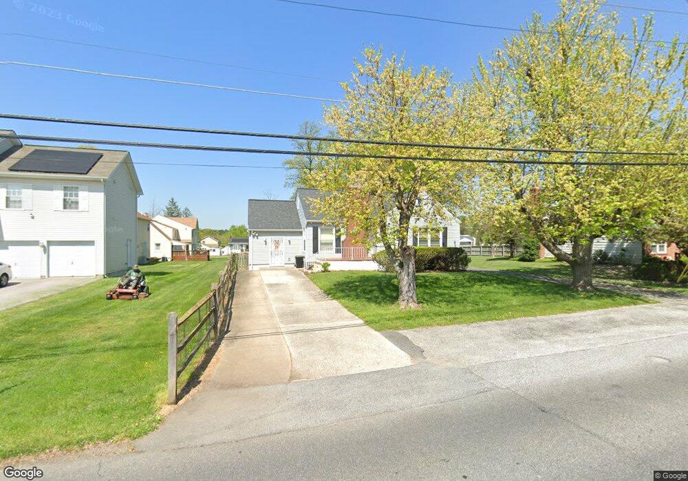
3302 Mayfield Ave Windsor Mill, MD 21244
Estimated Value: $286,000 - $399,000
Studio
1
Bath
1,654
Sq Ft
$211/Sq Ft
Est. Value
About This Home
This home is located at 3302 Mayfield Ave, Windsor Mill, MD 21244 and is currently estimated at $349,021, approximately $211 per square foot. 3302 Mayfield Ave is a home located in Baltimore County with nearby schools including Winfield Elementary School, Windsor Mill Middle School, and Randallstown High School.
Ownership History
Date
Name
Owned For
Owner Type
Purchase Details
Closed on
Jul 31, 2012
Sold by
Waters Harvey L
Bought by
Waters Harvey L
Current Estimated Value
Purchase Details
Closed on
Sep 17, 2002
Sold by
Secretary Of Housing
Bought by
Waters Harvey L
Purchase Details
Closed on
May 30, 2002
Sold by
Hawkins Kenneth S
Bought by
Secretary Of Housing
Purchase Details
Closed on
Oct 2, 1992
Sold by
Ireland Edward G
Bought by
Hawkins Kenneth S
Create a Home Valuation Report for This Property
The Home Valuation Report is an in-depth analysis detailing your home's value as well as a comparison with similar homes in the area
Home Values in the Area
Average Home Value in this Area
Purchase History
| Date | Buyer | Sale Price | Title Company |
|---|---|---|---|
| Waters Harvey L | -- | None Available | |
| Waters Harvey L | $130,000 | -- | |
| Secretary Of Housing | $126,000 | -- | |
| Hawkins Kenneth S | $118,500 | -- |
Source: Public Records
Tax History
| Year | Tax Paid | Tax Assessment Tax Assessment Total Assessment is a certain percentage of the fair market value that is determined by local assessors to be the total taxable value of land and additions on the property. | Land | Improvement |
|---|---|---|---|---|
| 2025 | $3,259 | $253,000 | -- | -- |
| 2024 | $3,259 | $230,100 | $61,000 | $169,100 |
| 2023 | $1,582 | $222,833 | $0 | $0 |
| 2022 | $3,033 | $215,567 | $0 | $0 |
| 2021 | $2,912 | $208,300 | $61,000 | $147,300 |
| 2020 | $2,912 | $206,333 | $0 | $0 |
| 2019 | $4,375 | $204,367 | $0 | $0 |
| 2018 | $2,819 | $202,400 | $61,000 | $141,400 |
| 2017 | $3,911 | $198,567 | $0 | $0 |
| 2016 | $2,398 | $194,733 | $0 | $0 |
| 2015 | $2,398 | $190,900 | $0 | $0 |
| 2014 | $2,398 | $190,900 | $0 | $0 |
Source: Public Records
Map
Nearby Homes
- 8011 Remington Ave
- 8314 Tinsley Rd
- 3412 Mayfield Ave
- 3126 Rices Ln
- 3429 Edcrest Rd
- 8400 Liberty Rd
- 3312 Lauri Rd
- 3528 Millvale Rd
- 3621 Clifmar Rd
- 3508 Joann Dr
- 8206 Kirk Farm Cir
- 3700 Crossleigh Ct
- 3317 Southgreen Rd
- 3661 Clifmar Rd
- 8506 Fieldway Dr
- 8523 Fieldway Dr
- 7410 Castlemoor Rd
- 3910 Squire Tuck Way
- 3859 Twin Lakes Ct
- 4932 Old Court Rd
- 3304 Courtleigh Dr
- 3300 Mayfield Ave
- 3306 Courtleigh Dr
- 1 Parks Ln
- 3308 Courtleigh Dr
- 3209 Mayfield Ave
- 3214 Mayfield Ave
- 8422 Maymeadow Ct
- 8008 Parks Ln
- 3310 Courtleigh Dr
- 8003 Parks Ln
- 8005 Parks Ln Unit LOT1
- 8005 Parks Ln
- 3211 Mayfield Ave
- 8420 Maymeadow Ct
- 7738 Big Buck Dr
- 8415 Maymeadow Ct
- 3312 Courtleigh Dr
- 3212 Mayfield Ave
- 8007 Parks Ln
Your Personal Tour Guide
Ask me questions while you tour the home.