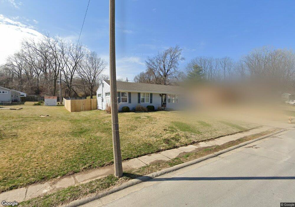
3302 N Union St Independence, MO 64050
Kentucky Hills NeighborhoodEstimated Value: $112,000 - $194,000
3
Beds
1
Bath
900
Sq Ft
$184/Sq Ft
Est. Value
About This Home
This home is located at 3302 N Union St, Independence, MO 64050 and is currently estimated at $165,584, approximately $183 per square foot. 3302 N Union St is a home located in Jackson County with nearby schools including Mill Creek Elementary School, Bridger Middle School, and Bingham Middle School.
Ownership History
Date
Name
Owned For
Owner Type
Purchase Details
Closed on
Oct 30, 2007
Sold by
Jpmorgan Chase Bank Na
Bought by
Ethington Harold L and Ethington Joan R
Current Estimated Value
Purchase Details
Closed on
May 7, 2007
Sold by
Rigg Eric B and Rigg Donna G
Bought by
U S Bank Na
Purchase Details
Closed on
Dec 28, 2004
Sold by
Richardson Cheryl A and Henderson Cheryl A
Bought by
Rigg Eric B and Rigg Donna G
Purchase Details
Closed on
Dec 20, 2004
Sold by
Henderson Danny Lavern and Richardson Cheryl A
Bought by
Rigg Eric B and Rigg Donna G
Create a Home Valuation Report for This Property
The Home Valuation Report is an in-depth analysis detailing your home's value as well as a comparison with similar homes in the area
Home Values in the Area
Average Home Value in this Area
Purchase History
| Date | Buyer | Sale Price | Title Company |
|---|---|---|---|
| Ethington Harold L | -- | Continental Title Company | |
| U S Bank Na | $76,417 | Continental Title Company | |
| Rigg Eric B | -- | Multiple | |
| Rigg Eric B | -- | Metro One |
Source: Public Records
Tax History
| Year | Tax Paid | Tax Assessment Tax Assessment Total Assessment is a certain percentage of the fair market value that is determined by local assessors to be the total taxable value of land and additions on the property. | Land | Improvement |
|---|---|---|---|---|
| 2025 | $1,581 | $23,368 | $3,365 | $20,003 |
| 2024 | $1,545 | $22,817 | $2,708 | $20,109 |
| 2023 | $1,545 | $22,817 | $3,251 | $19,566 |
| 2022 | $1,305 | $17,670 | $1,801 | $15,869 |
| 2021 | $1,305 | $17,670 | $1,801 | $15,869 |
| 2020 | $1,276 | $16,791 | $1,801 | $14,990 |
| 2019 | $1,255 | $16,791 | $1,801 | $14,990 |
| 2018 | $1,145 | $14,613 | $1,567 | $13,046 |
| 2017 | $1,145 | $14,613 | $1,567 | $13,046 |
| 2016 | $1,127 | $14,247 | $2,740 | $11,507 |
Source: Public Records
Map
Nearby Homes
- 3302 N Delaware St
- 3404 N Mccoy St
- 3500 N Mccoy St
- 503 W Colonel Dr
- 3801 N Osage St
- 2402 N Liberty St
- 2712 N Liberty St
- 13212 Kemper Ct
- 2213 N Mcbride Ave
- 3015 Cement City Rd
- 14500 E Kentucky Rd
- 822 Dickinson Rd
- 802 W Jones St
- 11813 & 11815 E Scarritt Ave
- 1713 N Dodgion St
- 915 Dickinson Rd
- 11610 Hackett St
- 11229 Evans St
- 11524 Hackett St
- 1704 N Emery St
- 3304 N Union St
- 813 Union Cir
- 811 Union Cir
- 3306 N Union St
- 3305 N Union St
- 3303 N Union St
- 3307 N Union St
- 809 Union Cir
- 3301 N Union St
- 3309 N Union St
- 3308 N Union St
- 801 Union Cir
- 3209 N Union St
- 803 Union Cir
- 3401 N Union St
- 807 Union Cir
- 3400 N Union St
- 3304 N Delaware St
- 3207 N Union St
- 3306 N Delaware St
Your Personal Tour Guide
Ask me questions while you tour the home.