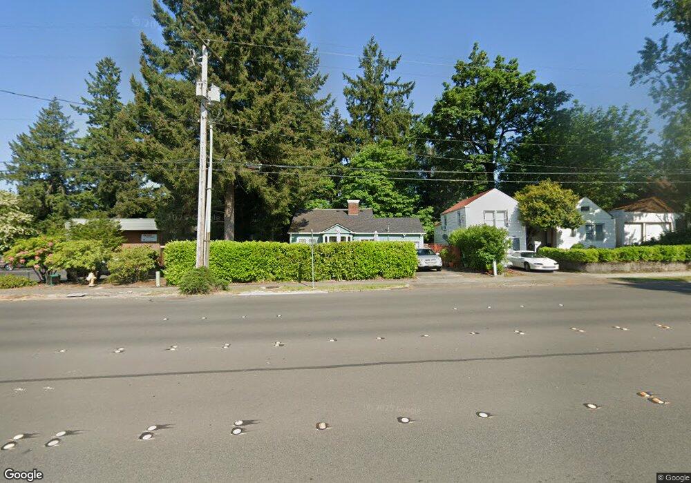
3303 Capitol Blvd S Tumwater, WA 98501
Estimated Value: $428,617 - $521,000
3
Beds
2
Baths
1,228
Sq Ft
$382/Sq Ft
Est. Value
About This Home
This home is located at 3303 Capitol Blvd S, Tumwater, WA 98501 and is currently estimated at $469,154, approximately $382 per square foot. 3303 Capitol Blvd S is a home located in Thurston County with nearby schools including Tumwater Hill Elementary School, Tumwater Middle School, and A.G. West Black Hills High School.
Ownership History
Date
Name
Owned For
Owner Type
Purchase Details
Closed on
Nov 23, 1999
Sold by
Andersen Isabel
Bought by
Martinez Zirpel Molly
Current Estimated Value
Home Financials for this Owner
Home Financials are based on the most recent Mortgage that was taken out on this home.
Original Mortgage
$87,920
Outstanding Balance
$27,026
Interest Rate
7.84%
Estimated Equity
$442,128
Create a Home Valuation Report for This Property
The Home Valuation Report is an in-depth analysis detailing your home's value as well as a comparison with similar homes in the area
Home Values in the Area
Average Home Value in this Area
Purchase History
| Date | Buyer | Sale Price | Title Company |
|---|---|---|---|
| Martinez Zirpel Molly | $109,900 | Thurston County Title Co |
Source: Public Records
Mortgage History
| Date | Status | Borrower | Loan Amount |
|---|---|---|---|
| Open | Martinez Zirpel Molly | $87,920 | |
| Closed | Martinez Zirpel Molly | $16,485 |
Source: Public Records
Tax History Compared to Growth
Tax History
| Year | Tax Paid | Tax Assessment Tax Assessment Total Assessment is a certain percentage of the fair market value that is determined by local assessors to be the total taxable value of land and additions on the property. | Land | Improvement |
|---|---|---|---|---|
| 2024 | $2,742 | $304,500 | $134,400 | $170,100 |
| 2023 | $2,742 | $273,500 | $121,100 | $152,400 |
| 2022 | $2,587 | $267,600 | $101,200 | $166,400 |
| 2021 | $2,445 | $219,500 | $86,000 | $133,500 |
| 2020 | $2,394 | $190,200 | $93,000 | $97,200 |
| 2019 | $2,137 | $180,600 | $77,700 | $102,900 |
| 2018 | $2,168 | $167,800 | $76,200 | $91,600 |
| 2017 | $2,181 | $165,950 | $87,650 | $78,300 |
| 2016 | $2,043 | $149,350 | $74,250 | $75,100 |
| 2014 | -- | $149,750 | $77,550 | $72,200 |
Source: Public Records
Map
Nearby Homes
- 509 Bates St SE
- 3225 Maringo Rd SE
- 510 North St SE
- 3242 Maringo Rd SE
- 509 N 3rd Ave SW
- 121 S 2nd Ave SW
- 532 Eskridge Way SE
- 633 Division St SW
- 732 Desoto St SW
- 722 Desoto St SW
- 3425 Pear St SE
- 303 N 6th Ave SW
- 0 XXX Bates St SW
- 217 N 7th Ave SW
- 3509 Hawthorne Place SE
- 817 Grant St SW
- 2501 Otis St SE
- 875 Anthony Ct SW
- 0 Hansen St SE
- 1003 Irving St SW
- 3301 Capitol Blvd SW
- 3259 Capitol Blvd SW
- 3259 Capitol Blvd S
- 3251 Capitol Blvd SW
- 3243 Capitol Blvd SW
- 415 Cleveland Ave SE
- 3229 Capitol Blvd SW
- 403 Cleveland Ave SE
- 3235 Capitol Blvd SW
- 0 LOT 55 Capitol Blvd S
- 502 Custer Way SE
- 502 * Custer SE
- 3221 Capitol Blvd SW
- 3415 Capitol Blvd S
- 303 Cleveland Ave SE
- 340 Cleveland Ave SE
- 3219 Capitol Blvd SW
- 3219 Capitol Blvd S
- 330 Schmidt Place SW
- 324 Custer Way SW