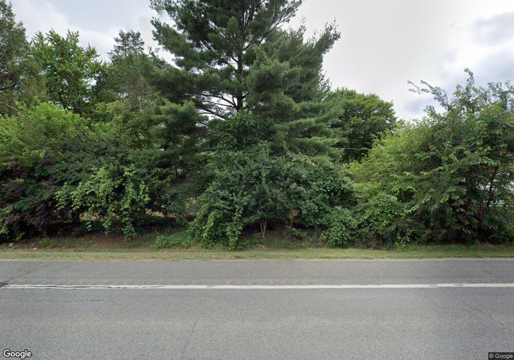
Estimated Value: $167,000 - $321,000
3
Beds
2
Baths
1,900
Sq Ft
$140/Sq Ft
Est. Value
About This Home
This home is located at 33039 Us Highway 12, Niles, MI 49120 and is currently estimated at $265,689, approximately $139 per square foot. 33039 Us Highway 12 is a home located in Cass County with nearby schools including Merritt Elementary School, Brandywine Elementary School, and Brandywine Middle School.
Ownership History
Date
Name
Owned For
Owner Type
Purchase Details
Closed on
Sep 16, 2019
Sold by
Kania Jan
Bought by
Ort Taylor
Current Estimated Value
Home Financials for this Owner
Home Financials are based on the most recent Mortgage that was taken out on this home.
Original Mortgage
$106,000
Outstanding Balance
$93,037
Interest Rate
3.7%
Estimated Equity
$172,652
Purchase Details
Closed on
Jan 11, 2012
Sold by
Fannie Mae
Bought by
Makenas Kinga
Purchase Details
Closed on
Nov 29, 2011
Sold by
Kempton Alton E and Kempton Diane C
Bought by
Fannie Mae and Federal National Mortgage Association
Purchase Details
Closed on
Oct 28, 2011
Sold by
Suntrust Mortgage Inc
Bought by
Fannie Mae and Federal National Mortgage Association
Purchase Details
Closed on
Oct 5, 2011
Sold by
Kempton Alton W and Kempton Diane C
Bought by
Suntrust Mortgage Inc
Create a Home Valuation Report for This Property
The Home Valuation Report is an in-depth analysis detailing your home's value as well as a comparison with similar homes in the area
Home Values in the Area
Average Home Value in this Area
Purchase History
| Date | Buyer | Sale Price | Title Company |
|---|---|---|---|
| Ort Taylor | $132,500 | Mtc | |
| Makenas Kinga | $34,000 | Attorneys Title Agency Llc | |
| Fannie Mae | $7,000 | None Available | |
| Fannie Mae | -- | None Available | |
| Suntrust Mortgage Inc | $114,174 | None Available |
Source: Public Records
Mortgage History
| Date | Status | Borrower | Loan Amount |
|---|---|---|---|
| Open | Ort Taylor | $106,000 |
Source: Public Records
Tax History Compared to Growth
Tax History
| Year | Tax Paid | Tax Assessment Tax Assessment Total Assessment is a certain percentage of the fair market value that is determined by local assessors to be the total taxable value of land and additions on the property. | Land | Improvement |
|---|---|---|---|---|
| 2025 | $1,887 | $103,200 | $103,200 | $0 |
| 2024 | $776 | $92,100 | $92,100 | $0 |
| 2023 | $740 | $87,200 | $0 | $0 |
| 2022 | $705 | $73,500 | $0 | $0 |
| 2021 | $1,637 | $63,900 | $0 | $0 |
| 2020 | $1,691 | $65,200 | $0 | $0 |
| 2019 | $1,383 | $59,300 | $0 | $0 |
| 2018 | $568 | $52,900 | $0 | $0 |
| 2017 | $583 | $54,300 | $0 | $0 |
| 2016 | $519 | $63,300 | $0 | $0 |
| 2015 | -- | $63,800 | $0 | $0 |
| 2011 | -- | $55,200 | $0 | $0 |
Source: Public Records
Map
Nearby Homes
- 33273 U S 12
- 69535 Turkey Trail Dr
- 33764 Judy Ln
- 70170 Ironwood Dr
- 32898 Bertrand St
- 33113 Bertrand St
- 33546 Frantz Dr
- 70525 Ironwood Dr
- 70661 Dennis Dr
- 70700 Ironwood Dr
- 2708 Paul St
- 1601 Kelems Ct
- 2330 E Main St Unit 62
- 0 Pine Ridge Dr Unit 9
- 1920 S 15th St
- 81 E Wildflower
- 0 Fulkerson Rd
- VL Fulkerson Rd
- 33944 Redfield St
- 1951 S 14th St
- 33039 Us Highway 12
- 33109 Us Highway 12
- 33109 Us Highway 12
- 32995 Us Highway 12
- 2328 E Us Highway 12
- 33071 Us Highway 12
- 33123 Us Highway 12
- 33123 Us Highway 12
- 2393 U S 12
- 32966 Us Highway 12
- 33046 Us Highway 12
- 33046 U S 12
- 33082 Us Highway 12
- 32990 Us Highway 12
- 33110 Us Highway 12
- 33173 U S 12
- 33205 Us Highway 12
- 33239 Us Highway 12
- 33239 U S 12
- 32888 Us Highway 12
