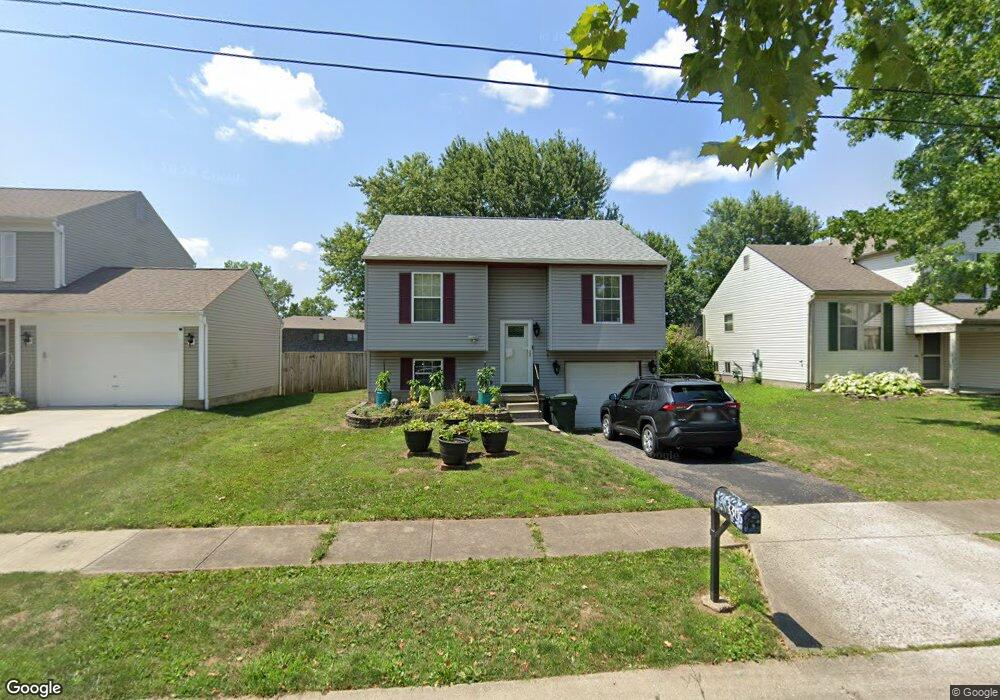
3305 Darrell Ct Reynoldsburg, OH 43068
Independence Village NeighborhoodEstimated Value: $209,885 - $250,000
3
Beds
2
Baths
964
Sq Ft
$246/Sq Ft
Est. Value
About This Home
This home is located at 3305 Darrell Ct, Reynoldsburg, OH 43068 and is currently estimated at $236,721, approximately $245 per square foot. 3305 Darrell Ct is a home located in Franklin County with nearby schools including Groveport Madison High School, A+ Arts Academy, and Brice Christian Academy Elementary School.
Ownership History
Date
Name
Owned For
Owner Type
Purchase Details
Closed on
Sep 3, 1996
Sold by
Stewart Scott
Bought by
Cherry Dennis and Wooten Alicia J
Current Estimated Value
Home Financials for this Owner
Home Financials are based on the most recent Mortgage that was taken out on this home.
Original Mortgage
$85,750
Outstanding Balance
$7,560
Interest Rate
8.5%
Mortgage Type
VA
Estimated Equity
$229,161
Purchase Details
Closed on
Feb 16, 1993
Purchase Details
Closed on
Dec 23, 1992
Create a Home Valuation Report for This Property
The Home Valuation Report is an in-depth analysis detailing your home's value as well as a comparison with similar homes in the area
Home Values in the Area
Average Home Value in this Area
Purchase History
| Date | Buyer | Sale Price | Title Company |
|---|---|---|---|
| Cherry Dennis | $83,900 | -- | |
| -- | $74,800 | -- | |
| -- | -- | -- |
Source: Public Records
Mortgage History
| Date | Status | Borrower | Loan Amount |
|---|---|---|---|
| Open | Cherry Dennis | $85,750 |
Source: Public Records
Tax History Compared to Growth
Tax History
| Year | Tax Paid | Tax Assessment Tax Assessment Total Assessment is a certain percentage of the fair market value that is determined by local assessors to be the total taxable value of land and additions on the property. | Land | Improvement |
|---|---|---|---|---|
| 2024 | $2,669 | $62,940 | $18,590 | $44,350 |
| 2023 | $2,643 | $62,940 | $18,590 | $44,350 |
| 2022 | $2,079 | $41,170 | $9,210 | $31,960 |
| 2021 | $2,085 | $41,170 | $9,210 | $31,960 |
| 2020 | $2,088 | $41,170 | $9,210 | $31,960 |
| 2019 | $1,868 | $32,940 | $7,350 | $25,590 |
| 2018 | $1,939 | $32,940 | $7,350 | $25,590 |
| 2017 | $1,886 | $32,940 | $7,350 | $25,590 |
| 2016 | $1,976 | $31,540 | $8,300 | $23,240 |
| 2015 | $1,997 | $31,540 | $8,300 | $23,240 |
| 2014 | $2,020 | $31,540 | $8,300 | $23,240 |
| 2013 | $889 | $33,180 | $8,715 | $24,465 |
Source: Public Records
Map
Nearby Homes
- 3358 Cargin Ct
- 3133 Earlington Ln
- 3188 Creighton Place
- 3292 Draycott Ct
- 3124 Creighton Place
- 6926 Bennell Dr
- 3265 O'Heagra Dr
- 6800 Barker Dr
- 3072 Bocastle Ct
- 6775 Centennial Dr
- 3624 Peany Ln
- 6486 Ethan Dr
- 6605 Hancock Ct
- 3000 High St
- 3099 Ambarwent Rd
- 6167 Kensington Glen Dr
- 2826-2828 Continental Dr
- 2832 Liberty Bell Ln
- 6584 Benjamin Dr
- 6286 Stoney Glenn Ct
- 3311 Darrell Ct
- 3297 Darrell Ct
- 3319 Darrell Ct
- 3291 Darrell Ct
- 3327 Darrell Ct
- 3300 Darrell Ct
- 3306 Darrell Ct
- 3288 Darrell Ct
- 3314 Darrell Ct
- 3280 Darrell Ct
- 3275 Darrell Ct
- 3320 Darrell Ct
- 3333 Darrell Ct
- 3272 Darrell Ct
- 3328 Darrell Ct
- 3267 Darrell Ct
- 6807 Brockland Dr
- 3339 Darrell Ct
- 6801 Brockland Dr
- 6813 Brockland Dr