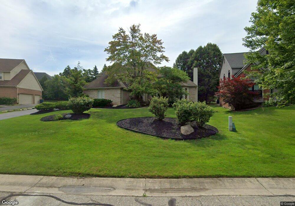
3305 Springbrook Ct West Bloomfield, MI 48324
Estimated Value: $621,322 - $814,000
4
Beds
3
Baths
3,655
Sq Ft
$199/Sq Ft
Est. Value
About This Home
This home is located at 3305 Springbrook Ct, West Bloomfield, MI 48324 and is currently estimated at $727,581, approximately $199 per square foot. 3305 Springbrook Ct is a home located in Oakland County with nearby schools including Our Lady Of Refuge School, The Susan And Rabbi Harold Loss Ecc, and Brookfield Academy - West Bloomfield.
Ownership History
Date
Name
Owned For
Owner Type
Purchase Details
Closed on
Apr 28, 2010
Sold by
Rockman Daniel J and Rockman Mary
Bought by
Shuell John K and Shuell Betty
Current Estimated Value
Create a Home Valuation Report for This Property
The Home Valuation Report is an in-depth analysis detailing your home's value as well as a comparison with similar homes in the area
Home Values in the Area
Average Home Value in this Area
Purchase History
| Date | Buyer | Sale Price | Title Company |
|---|---|---|---|
| Shuell John K | $327,500 | Title Express Llc |
Source: Public Records
Tax History Compared to Growth
Tax History
| Year | Tax Paid | Tax Assessment Tax Assessment Total Assessment is a certain percentage of the fair market value that is determined by local assessors to be the total taxable value of land and additions on the property. | Land | Improvement |
|---|---|---|---|---|
| 2024 | $5,192 | $264,390 | $0 | $0 |
| 2022 | $4,972 | $216,730 | $25,560 | $191,170 |
| 2021 | $7,555 | $208,650 | $0 | $0 |
| 2020 | $4,872 | $211,690 | $25,560 | $186,130 |
| 2018 | $7,342 | $213,050 | $25,560 | $187,490 |
| 2015 | -- | $191,340 | $0 | $0 |
| 2014 | -- | $182,440 | $0 | $0 |
| 2011 | -- | $173,290 | $0 | $0 |
Source: Public Records
Map
Nearby Homes
- 6420 Commerce Rd
- 5809 Hartwick Dr
- 3701 Northwood
- 3120 Point of the Woods Dr
- 3641 Green Lake Rd
- 5716 Evergreen Ave
- 6707 Heatherwood Dr
- 6289 Lindsay Ct
- 6258 Lindsay Ct
- 6768 Buckland Ave
- 3632 Fieldview Ave
- 3950 Bradmore Ave
- 5305 Elmgate Bay Dr
- 3965 Carrick Ave
- 6057 Beachwood Dr
- 3991 Fieldview Ave
- 6675 Langtoft St
- 6903 Dandison Blvd
- 6034 Beachwood Dr
- 0000 Langtoft
- 3283 Springbrook Ct
- 3327 Springbrook Ct
- 3316 Long Meadow Ct
- 3338 Long Meadow Ct
- 3360 Long Meadow Ct
- 3382 Long Meadow Ct
- 3294 Long Meadow Ct
- 3271 Springbrook Ct
- 3324 Springbrook Ct
- 3302 Springbrook Ct
- 3268 Springbrook Ct
- 3280 Springbrook Ct
- 3272 Long Meadow Ct
- 6139 Orchard Woods Dr
- 6117 Orchard Woods Dr
- 3341 Long Meadow Ct
- 3365 Long Meadow Ct
- 6078 Orchard Woods Dr
- 3329 Long Meadow Ct
- 3250 Long Meadow Ct