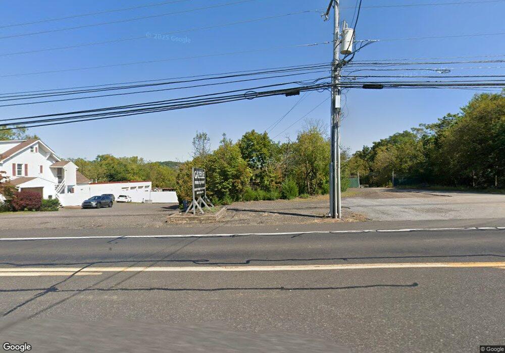
3305 W Ridge Pike Pottstown, PA 19464
Limerick Township NeighborhoodEstimated Value: $1,294,308
4
Beds
1
Bath
6,208
Sq Ft
$208/Sq Ft
Est. Value
About This Home
This home is located at 3305 W Ridge Pike, Pottstown, PA 19464 and is currently estimated at $1,294,308, approximately $208 per square foot. 3305 W Ridge Pike is a home located in Montgomery County with nearby schools including Evans Elementary School, Spring-Ford Middle School 8th Grade Center, and Spring-Ford Middle School 5/6/7 Grade Center.
Ownership History
Date
Name
Owned For
Owner Type
Purchase Details
Closed on
Jun 29, 2018
Sold by
Sacks Barry L
Bought by
3305 Llc
Current Estimated Value
Home Financials for this Owner
Home Financials are based on the most recent Mortgage that was taken out on this home.
Original Mortgage
$343,269
Outstanding Balance
$296,870
Interest Rate
4.5%
Mortgage Type
Seller Take Back
Estimated Equity
$997,438
Purchase Details
Closed on
Sep 29, 1997
Sold by
Sacks Barry L and Sacks Karen L
Bought by
Sacks Barry L
Create a Home Valuation Report for This Property
The Home Valuation Report is an in-depth analysis detailing your home's value as well as a comparison with similar homes in the area
Home Values in the Area
Average Home Value in this Area
Purchase History
| Date | Buyer | Sale Price | Title Company |
|---|---|---|---|
| 3305 Llc | $660,000 | None Available | |
| Sacks Barry L | -- | -- |
Source: Public Records
Mortgage History
| Date | Status | Borrower | Loan Amount |
|---|---|---|---|
| Open | 3305 Llc | $343,269 |
Source: Public Records
Tax History Compared to Growth
Tax History
| Year | Tax Paid | Tax Assessment Tax Assessment Total Assessment is a certain percentage of the fair market value that is determined by local assessors to be the total taxable value of land and additions on the property. | Land | Improvement |
|---|---|---|---|---|
| 2025 | $13,507 | $349,310 | $162,570 | $186,740 |
| 2024 | $13,507 | $349,310 | $162,570 | $186,740 |
| 2023 | $12,886 | $349,310 | $162,570 | $186,740 |
| 2022 | $12,451 | $349,310 | $162,570 | $186,740 |
| 2021 | $12,157 | $349,310 | $162,570 | $186,740 |
| 2020 | $11,848 | $349,310 | $162,570 | $186,740 |
| 2019 | $11,633 | $349,310 | $162,570 | $186,740 |
| 2018 | $9,382 | $349,310 | $162,570 | $186,740 |
| 2017 | $11,418 | $349,310 | $162,570 | $186,740 |
| 2016 | $11,281 | $349,310 | $162,570 | $186,740 |
| 2015 | $10,794 | $349,310 | $162,570 | $186,740 |
| 2014 | $10,794 | $349,310 | $162,570 | $186,740 |
Source: Public Records
Map
Nearby Homes
- 0 Industrial Pkwy Unit PAMC2142810
- 20 Bunker Way
- 1180 Rupert Rd
- 172 Oak Creek Dr
- 17 Lightcap Rd
- 1629 Rupert Rd
- 1687 Rupert Rd
- 3000 E High St Unit 1
- 1060 Oakdale Dr
- 300 Deer Run Ct
- 2933 E High St
- 94 Presidential Dr
- 180 Deer Run Ct
- 160 Deer Run Ct
- 847 Rivendell Ln
- 0 Steinmetz Rd
- 90 Kurtz Rd
- 790 Doe Ct
- 107 Walker Rd
- 107 Carver Ln
- 3323 W Ridge Pike
- 3327 W Ridge Pike
- 3277 W Ridge Pike
- 3331 W Ridge Pike
- 3334 W Ridge Pike
- 3276 W Ridge Pike
- 0 Industrial Pkwy Unit 6599584
- 3347 Ridge
- 147 Industrial Pkwy
- 3347 W Ridge Pike
- 3353 W Ridge Pike
- 7 Industrial Pkwy
- #32, Penn Rd
- 1 Industrial Pkwy
- #33" Penn Rd
- 3254 W Ridge Pike
- 2 Industrial Pkwy
- 39 Penn Rd
- 48 Penn Rd
- 56 Penn Rd