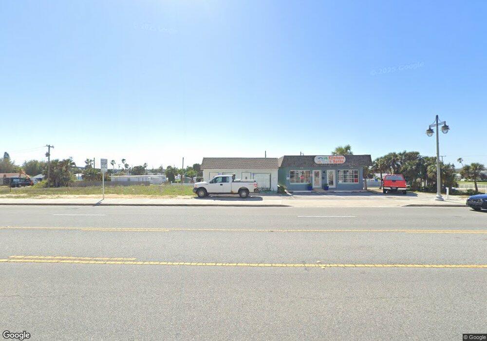
3306 S Atlantic Ave Daytona Beach Shores, FL 32118
Estimated Value: $159,319
--
Bed
2
Baths
1,378
Sq Ft
$116/Sq Ft
Est. Value
About This Home
This home is located at 3306 S Atlantic Ave, Daytona Beach Shores, FL 32118 and is currently estimated at $159,319, approximately $115 per square foot. 3306 S Atlantic Ave is a home located in Volusia County with nearby schools including R.J. Longstreet Elementary School, Atlantic High School, and Silver Sands Middle School.
Ownership History
Date
Name
Owned For
Owner Type
Purchase Details
Closed on
Nov 6, 2020
Sold by
Borasky Laurie Ann and Beachpoint Holdings Llc
Bought by
Titan Development Partners Llc
Current Estimated Value
Purchase Details
Closed on
Oct 30, 2009
Sold by
Castle Enterprises South Corporation
Bought by
Harner Michael L and Staubitz Donald
Purchase Details
Closed on
Sep 15, 2004
Sold by
Davis James Carl and Basham Joe O
Bought by
Gigliotti Laurie and Beachpoint Holdings Llc
Home Financials for this Owner
Home Financials are based on the most recent Mortgage that was taken out on this home.
Original Mortgage
$75,000
Interest Rate
8%
Mortgage Type
Seller Take Back
Purchase Details
Closed on
Feb 10, 2004
Sold by
Brozene Ronald S and Brozene Sally S
Bought by
Brozene Ronald S and Brozene Sally S
Purchase Details
Closed on
Feb 25, 2002
Sold by
Pesce Ronald R and Pesce Susan J
Bought by
Davis James Carl and Basham Joe O
Home Financials for this Owner
Home Financials are based on the most recent Mortgage that was taken out on this home.
Original Mortgage
$50,000
Interest Rate
6.81%
Mortgage Type
Commercial
Purchase Details
Closed on
Sep 12, 1997
Sold by
Svahn Robert R and Svahn Malissa A
Bought by
Pesce Ronald R and Pesce Susan J
Purchase Details
Closed on
Sep 10, 1997
Sold by
Mctighe Jane D and Mctighe Michael P
Bought by
Svahn Robert R and Svahn Malissa A
Purchase Details
Closed on
Feb 19, 1996
Sold by
Gardner James F and Gardner Gloria C
Bought by
Garrison Jimmy D
Purchase Details
Closed on
Nov 28, 1994
Sold by
Wilke Eugene W and Wilke Charlotte M
Bought by
Gardner James F and Gardner Gloria C
Home Financials for this Owner
Home Financials are based on the most recent Mortgage that was taken out on this home.
Original Mortgage
$54,000
Interest Rate
8.82%
Purchase Details
Closed on
Mar 8, 1994
Sold by
Symanski George A and Symanski Kathleen B
Bought by
Mctighe Michael P and Svahn Robert R
Create a Home Valuation Report for This Property
The Home Valuation Report is an in-depth analysis detailing your home's value as well as a comparison with similar homes in the area
Home Values in the Area
Average Home Value in this Area
Purchase History
| Date | Buyer | Sale Price | Title Company |
|---|---|---|---|
| Titan Development Partners Llc | $115,000 | Landcastle Title Group Llc | |
| Titan Development Partners Llc | $115,000 | Professional Title | |
| Harner Michael L | $50,000 | Home-Land Title Inc | |
| Gigliotti Laurie | $150,000 | Associated Land Title Group | |
| Brozene Ronald S | -- | -- | |
| Davis James Carl | $80,000 | -- | |
| Pesce Ronald R | $48,000 | -- | |
| Svahn Robert R | -- | -- | |
| Garrison Jimmy D | $84,700 | -- | |
| Gardner James F | $59,000 | -- | |
| Mctighe Michael P | $50,000 | -- |
Source: Public Records
Mortgage History
| Date | Status | Borrower | Loan Amount |
|---|---|---|---|
| Previous Owner | Gigliotti Laurie | $75,000 | |
| Previous Owner | Davis James Carl | $50,000 | |
| Previous Owner | Gardner James F | $54,000 |
Source: Public Records
Tax History Compared to Growth
Tax History
| Year | Tax Paid | Tax Assessment Tax Assessment Total Assessment is a certain percentage of the fair market value that is determined by local assessors to be the total taxable value of land and additions on the property. | Land | Improvement |
|---|---|---|---|---|
| 2025 | $2,182 | $140,141 | $28,401 | $111,740 |
| 2024 | $2,182 | $134,796 | $28,401 | $106,395 |
| 2023 | $2,182 | $129,045 | $28,401 | $100,644 |
| 2022 | $2,032 | $118,313 | $28,401 | $89,912 |
| 2021 | $1,990 | $107,552 | $28,401 | $79,151 |
| 2020 | $2,183 | $107,266 | $36,450 | $70,816 |
| 2019 | $2,093 | $101,813 | $36,450 | $65,363 |
| 2018 | $2,069 | $98,916 | $36,450 | $62,466 |
| 2017 | $2,023 | $93,201 | $32,400 | $60,801 |
| 2016 | $1,999 | $89,047 | $0 | $0 |
| 2015 | $1,990 | $84,017 | $0 | $0 |
| 2014 | $1,984 | $81,252 | $0 | $0 |
Source: Public Records
Map
Nearby Homes
- 3315 S Atlantic Ave Unit 1605
- 3315 S Atlantic Ave Unit 1406
- 3315 S Atlantic Ave Unit 1005
- 3315 S Atlantic Ave Unit 806
- 3315 S Atlantic Ave Unit 1707
- 3315 S Atlantic Ave Unit 408
- 3315 S Atlantic Ave Unit 1108
- 3315 S Atlantic Ave Unit 1106
- 3311 S Atlantic Ave Unit 1504
- 3311 S Atlantic Ave Unit 602
- 3311 S Atlantic Ave Unit 604
- 3311 S Atlantic Ave Unit 304
- 3255 S Atlantic Ave Unit 207
- 3255 S Atlantic Ave Unit 106
- 3333 S Atlantic Ave Unit 1802
- 3333 S Atlantic Ave Unit 2202
- 100 Talo Cir
- 3245 S Atlantic Ave Unit 208
- 3343 S Atlantic Ave Unit 601
- 3304 S Atlantic Ave
- 3302 S Atlantic Ave
- 132 Dottie Ave
- 131 Dottie Ave
- 121 Ogden Blvd
- 128 Dottie Ave
- 3315 S Atlantic Ave Unit 1608
- 3315 S Atlantic Ave Unit 1906
- 3315 S Atlantic Ave Unit 1905
- 3315 S Atlantic Ave Unit 1908
- 3315 S Atlantic Ave Unit 1805
- 3315 S Atlantic Ave Unit 1907
- 3315 S Atlantic Ave Unit 1706
- 3315 S Atlantic Ave Unit 1808
- 3315 S Atlantic Ave Unit 1807
- 3315 S Atlantic Ave Unit 1806
- 3315 S Atlantic Ave Unit 1705
- 3315 S Atlantic Ave Unit 1508
- 3315 S Atlantic Ave Unit 1507
- 3315 S Atlantic Ave Unit 1506