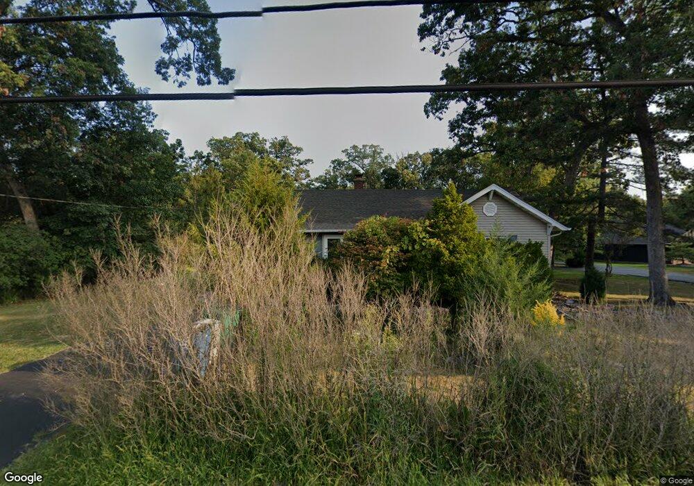
3308 W 133rd Ave Crown Point, IN 46307
Estimated Value: $391,661 - $515,000
2
Beds
2
Baths
4,302
Sq Ft
$103/Sq Ft
Est. Value
About This Home
This home is located at 3308 W 133rd Ave, Crown Point, IN 46307 and is currently estimated at $444,415, approximately $103 per square foot. 3308 W 133rd Ave is a home located in Lake County with nearby schools including Lake Street Elementary School, Robert Taft Middle School, and Crown Point High School.
Ownership History
Date
Name
Owned For
Owner Type
Purchase Details
Closed on
Jan 16, 2023
Sold by
Kay W Depel Trust and Depel Kay W
Bought by
Depel Trent and Depel Mary
Current Estimated Value
Purchase Details
Closed on
Aug 28, 2020
Sold by
Depel Kay W and Kay W Depel Revocable Trust
Bought by
Depel Kay W and Kay W Depel Revocable Trust
Purchase Details
Closed on
Jan 29, 2013
Sold by
Depel William A and Depel Kay W
Bought by
Kay W Depel Trust
Create a Home Valuation Report for This Property
The Home Valuation Report is an in-depth analysis detailing your home's value as well as a comparison with similar homes in the area
Home Values in the Area
Average Home Value in this Area
Purchase History
| Date | Buyer | Sale Price | Title Company |
|---|---|---|---|
| Depel Trent | -- | None Listed On Document | |
| Depel Kay W | -- | None Available | |
| Kay W Depel Trust | -- | None Available |
Source: Public Records
Tax History
| Year | Tax Paid | Tax Assessment Tax Assessment Total Assessment is a certain percentage of the fair market value that is determined by local assessors to be the total taxable value of land and additions on the property. | Land | Improvement |
|---|---|---|---|---|
| 2025 | $3,011 | $335,600 | $85,700 | $249,900 |
| 2024 | $6,465 | $311,400 | $85,700 | $225,700 |
| 2023 | $5,489 | $304,200 | $85,700 | $218,500 |
| 2022 | $5,489 | $294,000 | $85,700 | $208,300 |
| 2021 | $4,830 | $271,100 | $67,900 | $203,200 |
| 2020 | $4,982 | $264,900 | $67,900 | $197,000 |
| 2019 | $4,890 | $256,600 | $67,900 | $188,700 |
| 2018 | $5,007 | $248,300 | $67,900 | $180,400 |
| 2017 | $5,135 | $251,500 | $67,900 | $183,600 |
| 2016 | $5,045 | $245,500 | $67,900 | $177,600 |
| 2014 | $5,132 | $263,200 | $67,900 | $195,300 |
| 2013 | $5,082 | $260,600 | $67,900 | $192,700 |
Source: Public Records
Map
Nearby Homes
- 3721 W 133rd Ave
- 1983 Franklin Dr
- 13378 Taney St
- 2062 Nolan Ave
- 1922 Louis Dr
- 13181 Taft St
- 12715 Cedar Lake Rd
- 2725 W 127th Ln
- 2143 W 132nd Place
- 12736 Whitcomb St
- 13209 Roosevelt Place
- 3315 W 138th Ln
- 12201 Cedar Lake Rd
- 12728 Ellsworth St
- 12893 Baker Ct
- 2184 W 129th Place
- 283 Nomo Place
- 1540 Brackenbury Ln
- 255 Nomo Place
- 1575 S Feather Rock Dr
- 3300 W 133rd Ave
- 3404 W 133rd Ave
- 3321 W 132nd Ct
- 3301 W 132nd Ct
- 3114 W 133rd Ave
- 3311 W 133rd Ave
- 3300 W 132nd Ct
- 13233 Jennings St
- 13268 Jennings St
- 3350 W 132nd Ct
- 3353 Jennings St
- 3113 W 133rd Ave
- 3111 W 133rd Ave
- 3100 W 133rd Ave
- 3107 W 133rd Ave
- 13224 Jennings St
- 3507 W 133rd Ave
- 13246 Jennings St
- 3031 W 133rd Ave
- 13270 Jennings St
Your Personal Tour Guide
Ask me questions while you tour the home.