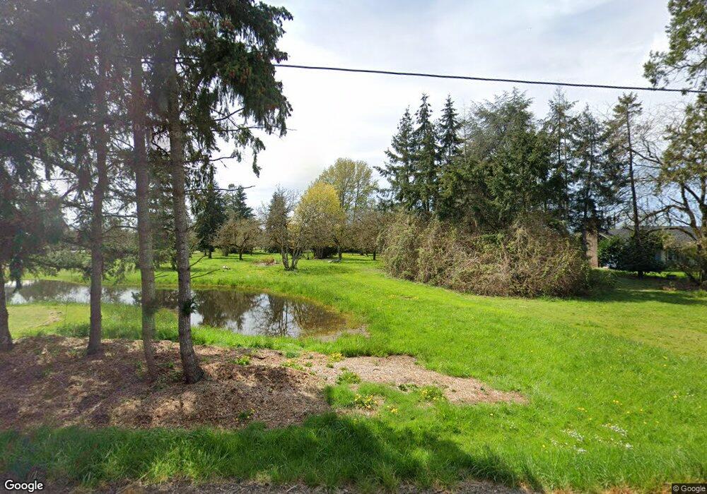
33094 SE Peoria Rd Corvallis, OR 97333
Estimated Value: $706,000 - $856,547
3
Beds
3
Baths
2,972
Sq Ft
$263/Sq Ft
Est. Value
About This Home
This home is located at 33094 SE Peoria Rd, Corvallis, OR 97333 and is currently estimated at $781,274, approximately $262 per square foot. 33094 SE Peoria Rd is a home located in Linn County with nearby schools including Garfield Elementary School, Linus Pauling Middle School, and Corvallis High School.
Ownership History
Date
Name
Owned For
Owner Type
Purchase Details
Closed on
Nov 13, 2006
Sold by
Gold Brian Hancock and Gold Helen Holmes
Bought by
Gold Brian Hancock and Gold Helen Holmes
Current Estimated Value
Home Financials for this Owner
Home Financials are based on the most recent Mortgage that was taken out on this home.
Original Mortgage
$180,000
Interest Rate
6.28%
Mortgage Type
New Conventional
Create a Home Valuation Report for This Property
The Home Valuation Report is an in-depth analysis detailing your home's value as well as a comparison with similar homes in the area
Home Values in the Area
Average Home Value in this Area
Purchase History
| Date | Buyer | Sale Price | Title Company |
|---|---|---|---|
| Gold Brian Hancock | -- | Fidelity Natl Title Ins Co |
Source: Public Records
Mortgage History
| Date | Status | Borrower | Loan Amount |
|---|---|---|---|
| Closed | Gold Brian Hancock | $180,000 |
Source: Public Records
Tax History Compared to Growth
Tax History
| Year | Tax Paid | Tax Assessment Tax Assessment Total Assessment is a certain percentage of the fair market value that is determined by local assessors to be the total taxable value of land and additions on the property. | Land | Improvement |
|---|---|---|---|---|
| 2024 | $5,944 | $386,230 | -- | -- |
| 2023 | $5,770 | $374,990 | $0 | $0 |
| 2022 | $5,602 | $364,070 | $0 | $0 |
| 2021 | $5,358 | $353,470 | $0 | $0 |
| 2020 | $5,198 | $343,180 | $0 | $0 |
| 2019 | $5,088 | $333,190 | $0 | $0 |
| 2018 | $4,972 | $323,490 | $0 | $0 |
| 2017 | $4,548 | $314,070 | $0 | $0 |
| 2016 | $4,509 | $304,930 | $0 | $0 |
| 2015 | $4,370 | $296,050 | $0 | $0 |
| 2014 | $4,367 | $287,430 | $0 | $0 |
Source: Public Records
Map
Nearby Homes
- 33125 SE White Oak Rd Unit 5 Rd
- 33125 SE White Oak Rd Unit 21 Rd
- 33125 SE White Oak Rd Unit 17
- 33125 SE White Oak (#20) Rd Unit 20
- 33125 SE White Oak (#1) Rd Unit 1
- 33125 SE White Oak (#56) Rd Unit 56
- 32642 Peoria Rd SW
- 33844 SE White Oak Rd
- 29509 NE Pheasant Ave
- 1249 SE Rivergreen Ave
- 824 SE Bayshore Cir
- 2255 SE Thompson St
- 34123 Cushman Rd Unit 1400
- 34123 Cushman Rd Unit 1300
- 34123 Cushman Rd Unit 3 Lots
- 34123 Cushman Rd Unit 1200
- 3565 SE Shoreline Dr
- (Near 34123) Rd
- (Near 34123) Cushman (Lot 1400) Rd
- (Near 34123) Cushman (Lot 1300) Rd
- 33082 SE Peoria Rd
- 33088 SE Peoria Rd
- 33070 SE Peoria Rd
- 33080 SE Peoria Rd
- 33058 SE Peoria Rd
- 33046 SE Peoria Rd
- 33032 SE Peoria Rd
- 33036 SE Peoria Rd
- 33048 SE Peoria Rd
- 33052 SE Peoria Rd
- 33091 SE Peoria Rd
- 33055 SE Peoria Rd
- 33081 SE Peoria Rd
- 33107 SE Peoria Rd
- 33022 SE Peoria Rd
- 33113 SE Peoria Rd
- 33043 SE Peoria Rd
- 33131 SE Peoria Rd
- 33029 SE Peoria Rd
- 33125 SE Peoria Rd