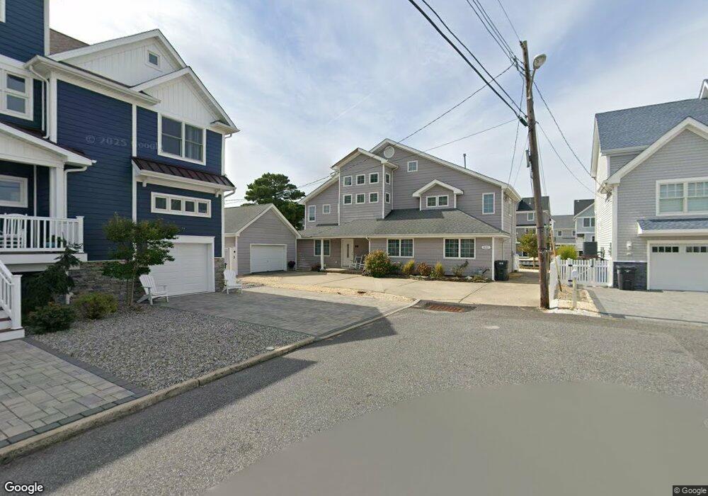
331 Barkentine Ln Mantoloking, NJ 08738
Estimated Value: $1,469,000 - $3,066,000
6
Beds
4
Baths
4,016
Sq Ft
$612/Sq Ft
Est. Value
About This Home
This home is located at 331 Barkentine Ln, Mantoloking, NJ 08738 and is currently estimated at $2,457,014, approximately $611 per square foot. 331 Barkentine Ln is a home located in Ocean County with nearby schools including Emma Havens Young Elementary School, Lake Riviera Middle School, and Brick Township High School.
Ownership History
Date
Name
Owned For
Owner Type
Purchase Details
Closed on
May 28, 2003
Sold by
Seeliger William
Bought by
Hale Robert W and Hale Linda S
Current Estimated Value
Home Financials for this Owner
Home Financials are based on the most recent Mortgage that was taken out on this home.
Original Mortgage
$300,000
Outstanding Balance
$128,359
Interest Rate
5.46%
Estimated Equity
$2,328,655
Create a Home Valuation Report for This Property
The Home Valuation Report is an in-depth analysis detailing your home's value as well as a comparison with similar homes in the area
Home Values in the Area
Average Home Value in this Area
Purchase History
| Date | Buyer | Sale Price | Title Company |
|---|---|---|---|
| Hale Robert W | $735,000 | -- |
Source: Public Records
Mortgage History
| Date | Status | Borrower | Loan Amount |
|---|---|---|---|
| Open | Hale Robert W | $300,000 |
Source: Public Records
Tax History Compared to Growth
Tax History
| Year | Tax Paid | Tax Assessment Tax Assessment Total Assessment is a certain percentage of the fair market value that is determined by local assessors to be the total taxable value of land and additions on the property. | Land | Improvement |
|---|---|---|---|---|
| 2025 | $22,996 | $890,300 | $507,100 | $383,200 |
| 2024 | $21,857 | $890,300 | $507,100 | $383,200 |
| 2023 | $21,572 | $890,300 | $507,100 | $383,200 |
| 2022 | $21,572 | $890,300 | $507,100 | $383,200 |
| 2021 | $21,118 | $890,300 | $507,100 | $383,200 |
| 2020 | $20,851 | $890,300 | $507,100 | $383,200 |
| 2019 | $20,504 | $890,300 | $507,100 | $383,200 |
| 2018 | $20,032 | $890,300 | $507,100 | $383,200 |
| 2017 | $19,489 | $890,300 | $507,100 | $383,200 |
| 2016 | $19,391 | $890,300 | $507,100 | $383,200 |
| 2015 | $18,883 | $890,300 | $507,100 | $383,200 |
| 2014 | $18,732 | $890,300 | $507,100 | $383,200 |
Source: Public Records
Map
Nearby Homes
- 308 Cove Dr
- 304 Schooner Ln
- 275 Curtis Point Dr
- 366 Highway 35 N
- 233 Curtis Point Dr
- 150 Sunset Ln
- 122 Squan Beach Dr
- 438 Highway 35 N Unit 1304
- 12 Shell Rd
- 1519 Runyon Ln
- 515 New Jersey 35
- 254 Harbor Ct
- 545 Route 35
- 124 Saint Lawrence Blvd
- 1318 Ocean Ave
- 108 Rochester Dr
- 64 W Granada Dr
- 77 Rochester Dr
- 45 W Granada Dr
- 34 W Granada Dr
- 329 Barkentine Ln
- 327 Barkentine Ln
- 328 Barkentine Ln
- 353 Bay Ln
- 351 Bay Ln
- 325 Brigantine Ln
- 325 Barkentine Ln
- 320 Brigantine Ln
- 349 Bay Ln
- 349 Bay Ln
- 355 Bay Ln
- 326 Barkentine Ln
- 323 Brigantine Ln
- 347 Bay Ln
- 318 Brigantine Ln
- 323 Barkentine Ln
- 333 Cutter Ln
- 331 Cutter Ln
- 324 Barkentine Ln
- 352 Bay Ln