331 Brayton Point Rd Westport, MA 02790
Acoaxet NeighborhoodEstimated Value: $1,097,000 - $1,389,000
1
Bed
1
Bath
420
Sq Ft
$2,811/Sq Ft
Est. Value
About This Home
This home is located at 331 Brayton Point Rd, Westport, MA 02790 and is currently estimated at $1,180,687, approximately $2,811 per square foot. 331 Brayton Point Rd is a home located in Bristol County with nearby schools including Alice A. Macomber Primary School, Westport Elementary School, and Westport Middle-High School.
Ownership History
Date
Name
Owned For
Owner Type
Purchase Details
Closed on
Oct 30, 2014
Sold by
Wyatt George E and Wyatt Jane G
Bought by
G and Wyatt J
Current Estimated Value
Purchase Details
Closed on
Oct 23, 2009
Sold by
Wyatt George E
Bought by
Wyatt George E and Wyatt Jane G
Create a Home Valuation Report for This Property
The Home Valuation Report is an in-depth analysis detailing your home's value as well as a comparison with similar homes in the area
Home Values in the Area
Average Home Value in this Area
Purchase History
| Date | Buyer | Sale Price | Title Company |
|---|---|---|---|
| G | -- | -- | |
| Wyatt George E | -- | -- |
Source: Public Records
Mortgage History
| Date | Status | Borrower | Loan Amount |
|---|---|---|---|
| Previous Owner | Wyatt George E | $50,000 |
Source: Public Records
Tax History Compared to Growth
Tax History
| Year | Tax Paid | Tax Assessment Tax Assessment Total Assessment is a certain percentage of the fair market value that is determined by local assessors to be the total taxable value of land and additions on the property. | Land | Improvement |
|---|---|---|---|---|
| 2025 | $7,925 | $1,063,800 | $1,026,600 | $37,200 |
| 2024 | $7,625 | $986,400 | $951,100 | $35,300 |
| 2023 | $7,657 | $938,400 | $905,800 | $32,600 |
| 2022 | $7,809 | $993,600 | $964,800 | $28,800 |
| 2021 | $4,723 | $905,900 | $877,100 | $28,800 |
| 2020 | $7,265 | $861,800 | $842,000 | $19,800 |
| 2019 | $4,340 | $862,300 | $842,000 | $20,300 |
| 2018 | $4,241 | $903,500 | $887,000 | $16,500 |
| 2017 | $7,967 | $999,600 | $985,500 | $14,100 |
| 2016 | $10,137 | $1,281,500 | $1,261,500 | $20,000 |
| 2015 | $7,118 | $897,600 | $876,000 | $21,600 |
Source: Public Records
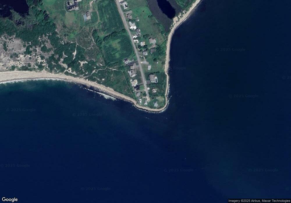
Map
Nearby Homes
- 304 Brayton Point Rd
- 189 Brayton Point Rd
- 18 Old Barn Rd
- 19 Seabury Ln
- 128 Maple Ave
- 255 John Dyer Rd
- 141 S Of Commons Rd
- 505 Long Hwy
- 1881 Main Rd
- 0 Reed Rd (Ss)
- 1749 Main Rd
- 245 John Dyer Rd
- 0 Willow Ave
- 1580 Main Rd
- 576 W Main Rd
- 536 W Main Rd
- 1702J Drift Rd
- 1702 Drift Rd
- 8 Taylors Ln
- 116 Amy Hart Path
- 329 Brayton Point Rd
- 327 Brayton Point Rd
- 332 Brayton Point Rd
- 325 Brayton Point Rd
- 324 Brayton Point Rd
- 321 Brayton Point Rd
- 318 Brayton Point Rd
- 317 Brayton Point Rd
- 314 Brayton Point Rd
- 311 Brayton Point Rd
- 306 Brayton Point Rd
- 302 Brayton Point Rd Unit WINTER
- 302 Brayton Point Rd
- 300 Brayton Point Rd
- 298 Brayton Point Rd
- 292 Brayton Point Rd
- 288 Brayton Point Rd
- 284 Brayton Point Rd
- 278 Brayton Point Rd
- 263 Brayton Pt Rd