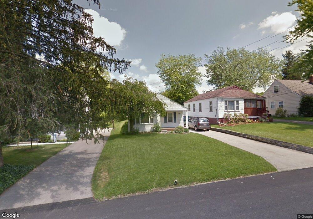
331 Muth Rd Mansfield, OH 44903
Estimated Value: $117,000 - $133,000
2
Beds
1
Bath
924
Sq Ft
$135/Sq Ft
Est. Value
About This Home
This home is located at 331 Muth Rd, Mansfield, OH 44903 and is currently estimated at $124,731, approximately $134 per square foot. 331 Muth Rd is a home located in Richland County with nearby schools including Goal Digital Academy and Discovery School.
Ownership History
Date
Name
Owned For
Owner Type
Purchase Details
Closed on
Sep 9, 2022
Sold by
Brink Daniel L and Brink Karen J
Bought by
Daniel L Brink Revocable Living Trust
Current Estimated Value
Purchase Details
Closed on
May 1, 2008
Sold by
Price Joan S
Bought by
Brinn Daniel L and Brink Karen J
Purchase Details
Closed on
Sep 3, 1996
Sold by
Sutter Cristine M
Bought by
Price Joan S
Create a Home Valuation Report for This Property
The Home Valuation Report is an in-depth analysis detailing your home's value as well as a comparison with similar homes in the area
Home Values in the Area
Average Home Value in this Area
Purchase History
| Date | Buyer | Sale Price | Title Company |
|---|---|---|---|
| Daniel L Brink Revocable Living Trust | $125 | -- | |
| Daniel L Brink Revocable Living Trust | $125 | None Listed On Document | |
| Brinn Daniel L | $57,000 | Southern Title | |
| Price Joan S | $52,500 | -- |
Source: Public Records
Tax History
| Year | Tax Paid | Tax Assessment Tax Assessment Total Assessment is a certain percentage of the fair market value that is determined by local assessors to be the total taxable value of land and additions on the property. | Land | Improvement |
|---|---|---|---|---|
| 2024 | $1,042 | $26,690 | $3,100 | $23,590 |
| 2023 | $1,250 | $26,690 | $3,100 | $23,590 |
| 2022 | $1,085 | $19,410 | $2,660 | $16,750 |
| 2021 | $1,092 | $19,410 | $2,660 | $16,750 |
| 2020 | $1,117 | $19,410 | $2,660 | $16,750 |
| 2019 | $1,238 | $19,410 | $2,660 | $16,750 |
| 2018 | $1,221 | $19,410 | $2,660 | $16,750 |
| 2017 | $1,192 | $19,410 | $2,660 | $16,750 |
| 2016 | $1,196 | $18,950 | $3,660 | $15,290 |
| 2015 | $1,142 | $18,950 | $3,660 | $15,290 |
| 2014 | $1,127 | $18,950 | $3,660 | $15,290 |
| 2012 | $430 | $18,960 | $3,860 | $15,100 |
Source: Public Records
Map
Nearby Homes
- 356 S Linden Rd
- 686 Barnard Ave
- 679 Coleman Rd
- 143 Fairlawn Ave
- 135 Fairlawn Ave
- 129 Fairlawn Ave
- 244 S Trimble Rd Unit 246
- 232 S Trimble Rd Unit 234
- 616 Cline Ave
- 216 S Trimble Rd Unit 218
- 189 Westwood Ave
- 535 Woodhill Rd
- 988 Kentland Dr
- 455 Marion Ave
- 116 Stewart Ave S
- 133 Stewart Ave S
- 108 Stewart Ave S
- 126 Dawson Ave
- 31 Parkwood Blvd
- 71 Dawson Ave
Your Personal Tour Guide
Ask me questions while you tour the home.