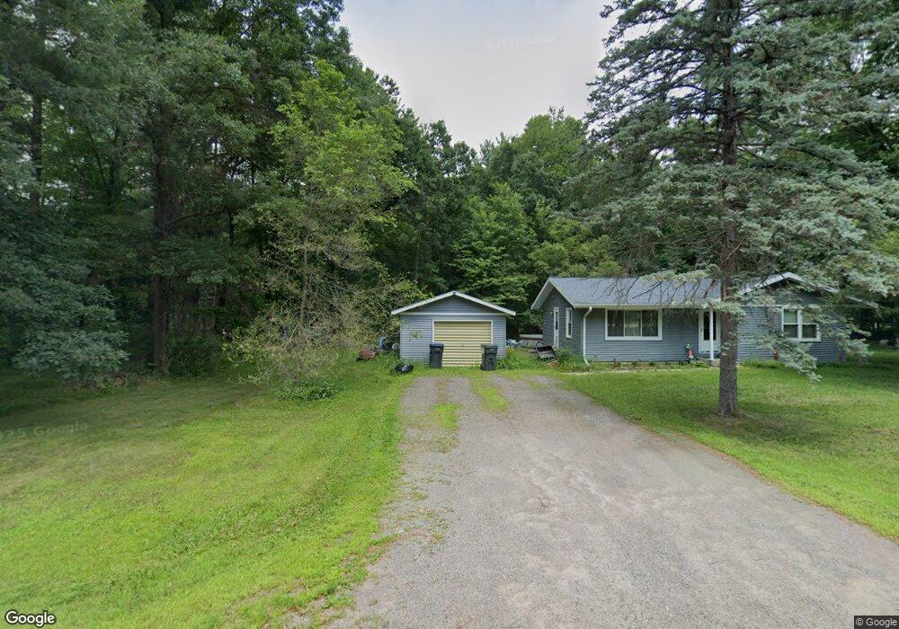
3311 Airport Ave Wisconsin Rapids, WI 54494
Estimated Value: $143,000 - $215,000
--
Bed
--
Bath
--
Sq Ft
0.46
Acres
About This Home
This home is located at 3311 Airport Ave, Wisconsin Rapids, WI 54494 and is currently estimated at $176,771. 3311 Airport Ave is a home located in Wood County with nearby schools including Woodside Elementary School, Wisconsin Rapids Area Middle School, and East Junior High School.
Ownership History
Date
Name
Owned For
Owner Type
Purchase Details
Closed on
Apr 11, 2005
Sold by
Centex Home Equity Co Llc
Bought by
Glodowski Dennis B
Current Estimated Value
Home Financials for this Owner
Home Financials are based on the most recent Mortgage that was taken out on this home.
Original Mortgage
$5,000
Outstanding Balance
$2,599
Interest Rate
5.89%
Mortgage Type
Purchase Money Mortgage
Estimated Equity
$174,172
Create a Home Valuation Report for This Property
The Home Valuation Report is an in-depth analysis detailing your home's value as well as a comparison with similar homes in the area
Home Values in the Area
Average Home Value in this Area
Purchase History
| Date | Buyer | Sale Price | Title Company |
|---|---|---|---|
| Glodowski Dennis B | $67,500 | None Available |
Source: Public Records
Mortgage History
| Date | Status | Borrower | Loan Amount |
|---|---|---|---|
| Open | Glodowski Dennis B | $5,000 |
Source: Public Records
Tax History Compared to Growth
Tax History
| Year | Tax Paid | Tax Assessment Tax Assessment Total Assessment is a certain percentage of the fair market value that is determined by local assessors to be the total taxable value of land and additions on the property. | Land | Improvement |
|---|---|---|---|---|
| 2024 | $1,411 | $92,100 | $7,800 | $84,300 |
| 2023 | $1,361 | $92,100 | $7,800 | $84,300 |
| 2022 | $1,349 | $92,100 | $7,800 | $84,300 |
| 2021 | $1,412 | $92,100 | $7,800 | $84,300 |
| 2020 | $1,460 | $92,100 | $7,800 | $84,300 |
| 2019 | $1,344 | $74,100 | $6,500 | $67,600 |
| 2018 | $1,342 | $74,100 | $6,500 | $67,600 |
| 2017 | $1,331 | $74,100 | $6,500 | $67,600 |
| 2016 | $1,297 | $74,100 | $6,500 | $67,600 |
| 2015 | $1,270 | $74,100 | $6,500 | $67,600 |
Source: Public Records
Map
Nearby Homes
- 3610 43rd St S
- 1911 45th St S
- 3320 16th St S
- 1530 Huntington Ave
- 1311 Snyder St
- 2120 16th St S
- 1220 Snyder St
- 2030 16th St S
- 4610 Grand Pine Dr
- 1421 16th St S
- 4910 Pine Needle Way
- 1021 Two Mile Ave
- 3520 Coach Lantern Dr
- 1510 52nd St S
- Lot 54 Fly Rod Trail
- Lot 55 Fly Rod Trail
- Lot 56 Fly Rod Trail
- 2331 10th St S
- 921 16th St S
- 1061 14th St S
- 3310 Airport Ave
- 3321 Airport Ave
- 3220 Airport Ave
- 3141 32nd St S
- 3210 Airport Ave
- 3121 32nd St S
- 3330 Airport Ave
- 3330 Airport Ave
- 3331 Airport Ave
- 3221 32nd St S
- 3031 32nd St S
- 3140 32nd St S
- 3130 32nd St S
- 3120 32nd St S
- 3325 Airport Ave
- 3340 Airport Ave
- 3511 Airport Ave
- 3141 31st St S
- 3021 32nd St S
- 3030 32nd St S