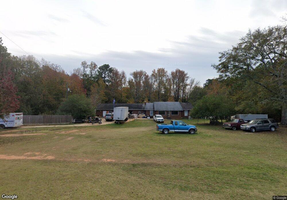
3311 Bartley Rd West Point, GA 31833
Estimated Value: $181,000 - $367,000
3
Beds
3
Baths
2,909
Sq Ft
$103/Sq Ft
Est. Value
About This Home
This home is located at 3311 Bartley Rd, West Point, GA 31833 and is currently estimated at $300,191, approximately $103 per square foot. 3311 Bartley Rd is a home located in Troup County with nearby schools including Long Cane Elementary School, West Point Elementary School, and Whitesville Road Elementary School.
Ownership History
Date
Name
Owned For
Owner Type
Purchase Details
Closed on
Sep 19, 2008
Sold by
American General Financial
Bought by
Johnson Sharon Denise
Current Estimated Value
Purchase Details
Closed on
May 5, 1982
Sold by
Johnson Mildred
Bought by
Johnny G Johnson
Purchase Details
Closed on
Jul 8, 1974
Sold by
Mclurg
Bought by
Johnson Mildred
Create a Home Valuation Report for This Property
The Home Valuation Report is an in-depth analysis detailing your home's value as well as a comparison with similar homes in the area
Home Values in the Area
Average Home Value in this Area
Purchase History
| Date | Buyer | Sale Price | Title Company |
|---|---|---|---|
| Johnson Sharon Denise | $65,000 | -- | |
| Johnny G Johnson | -- | -- | |
| Johnson Mildred | -- | -- |
Source: Public Records
Tax History Compared to Growth
Tax History
| Year | Tax Paid | Tax Assessment Tax Assessment Total Assessment is a certain percentage of the fair market value that is determined by local assessors to be the total taxable value of land and additions on the property. | Land | Improvement |
|---|---|---|---|---|
| 2024 | $2,539 | $93,080 | $8,480 | $84,600 |
| 2023 | $2,194 | $80,440 | $8,480 | $71,960 |
| 2022 | $2,039 | $73,040 | $8,480 | $64,560 |
| 2021 | $1,858 | $61,600 | $8,000 | $53,600 |
| 2020 | $1,858 | $61,600 | $8,000 | $53,600 |
| 2019 | $1,814 | $60,160 | $6,800 | $53,360 |
| 2018 | $1,667 | $55,280 | $6,800 | $48,480 |
| 2017 | $1,667 | $55,280 | $6,800 | $48,480 |
| 2016 | $1,615 | $53,546 | $6,800 | $46,746 |
| 2015 | $1,607 | $53,208 | $6,800 | $46,408 |
| 2014 | $1,536 | $50,766 | $6,800 | $43,966 |
| 2013 | -- | $51,383 | $6,800 | $44,583 |
Source: Public Records
Map
Nearby Homes
- 208 Harris Walk Unit 80
- 311 Tomme Rd
- 4172 Bartley Rd
- 648 Warner Rd
- 2067 Bartley Rd
- 0 Cannonville Rd
- 333 Shoemaker Rd
- 1550 Baughs Cross Rd
- 345 Robert Taylor Rd
- 0 Sandtown Rd Unit 10255987
- Sandtown Road Unit: 1 2+ - Acre
- 797 Gabbettville Rd
- 1605 Bartley Rd
- 0 Robert Hayes Rd Unit 10611067
- 0 Johns Rd Unit 10615130
- 1248 Cannonville Rd
- 143 W Drummond Rd
- 151 W Drummond Rd
- 157 W Drummond Rd
- 137 W Drummond Rd
- 3218 Bartley Rd
- 3210 Bartley Rd
- 3270 Bartley Rd
- 3292 Bartley Rd
- 3359 Bartley Rd
- 3362 Bartley Rd
- 3302 Bartley Rd
- 3338 Bartley Rd
- 3348 Bartley Rd
- 3399 Bartley Rd
- 0 Baughs Cross Rd Unit 20036287
- 0 Baughs Cross Rd Unit 7580140
- 0 Baughs Cross Rd Unit 7423411
- 0 Baughs Crossroad Unit 3207518
- 23 Baughs Cross Rd
- 3409 Bartley Rd
- 164 Baughs Cross Rd
- 3165 Bartley Rd
- 3100 Bartley Rd
- 3130 Bartley Rd