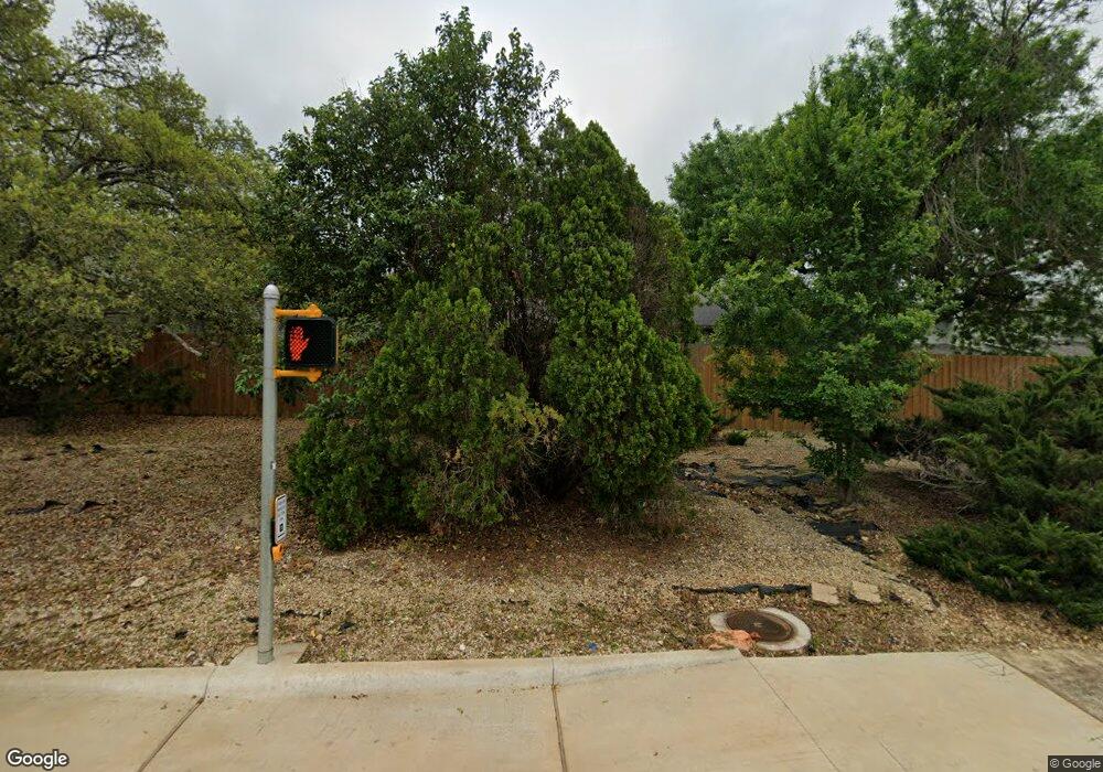
3311 W William Cannon Dr Unit B Austin, TX 78745
Cherry Creek NeighborhoodEstimated Value: $350,117 - $424,000
--
Bed
2
Baths
1,303
Sq Ft
$291/Sq Ft
Est. Value
About This Home
This home is located at 3311 W William Cannon Dr Unit B, Austin, TX 78745 and is currently estimated at $379,529, approximately $291 per square foot. 3311 W William Cannon Dr Unit B is a home located in Travis County with nearby schools including Sunset Valley Elementary School, Covington Middle School, and Crockett High School.
Ownership History
Date
Name
Owned For
Owner Type
Purchase Details
Closed on
Jun 24, 2013
Sold by
Selby Mary K
Bought by
Neumann V Fred William
Current Estimated Value
Home Financials for this Owner
Home Financials are based on the most recent Mortgage that was taken out on this home.
Original Mortgage
$152,000
Outstanding Balance
$108,364
Interest Rate
3.54%
Mortgage Type
New Conventional
Estimated Equity
$271,165
Create a Home Valuation Report for This Property
The Home Valuation Report is an in-depth analysis detailing your home's value as well as a comparison with similar homes in the area
Home Values in the Area
Average Home Value in this Area
Purchase History
| Date | Buyer | Sale Price | Title Company |
|---|---|---|---|
| Neumann V Fred William | -- | None Available |
Source: Public Records
Mortgage History
| Date | Status | Borrower | Loan Amount |
|---|---|---|---|
| Open | Neumann V Fred William | $152,000 |
Source: Public Records
Tax History Compared to Growth
Tax History
| Year | Tax Paid | Tax Assessment Tax Assessment Total Assessment is a certain percentage of the fair market value that is determined by local assessors to be the total taxable value of land and additions on the property. | Land | Improvement |
|---|---|---|---|---|
| 2025 | $4,051 | $306,661 | -- | -- |
| 2023 | $3,289 | $253,439 | $0 | $0 |
| 2022 | $4,550 | $230,399 | $0 | $0 |
| 2021 | $4,559 | $209,454 | $75,500 | $222,864 |
| 2020 | $4,084 | $190,413 | $75,500 | $185,726 |
| 2018 | $3,484 | $157,366 | $75,500 | $182,668 |
| 2017 | $3,190 | $143,060 | $20,000 | $123,060 |
| 2016 | $3,190 | $143,060 | $20,000 | $123,060 |
| 2015 | $3,088 | $159,199 | $20,000 | $141,946 |
| 2014 | $3,088 | $144,726 | $20,000 | $124,726 |
Source: Public Records
Map
Nearby Homes
- 3315 W William Cannon Dr Unit A
- 3202 Western Dr
- 3336 Clarksburg Dr
- 3424 Clarksburg Dr
- 3415 Clarksburg Dr
- 3311 Harpers Ferry Ln
- 780 Oakdale Dr
- 3211 Harpers Ferry Ln
- 3420 Galesburg Dr
- 3207 Harpers Ferry Ln
- 3201 Harpers Ferry Ln
- 6810 Deatonhill Dr Unit 2200
- 6810 Deatonhill Dr Unit 2101
- 6810 Deatonhill Dr Unit 1204
- 6810 Deatonhill Dr Unit 216
- 3424 Galesburg Dr
- 3421 Galesburg Dr
- 6903 Deatonhill Dr Unit 23
- 6903 Deatonhill Dr Unit 37
- 6903 Deatonhill Dr Unit 15
- 3311 W William Cannon Dr Unit A
- 3313 W William Cannon Dr Unit A
- 3313 W William Cannon Dr Unit B
- 3309 W William Cannon Dr Unit A
- 3309 W William Cannon Dr Unit B
- 3315 W William Cannon Dr Unit B
- 3307 W William Cannon Dr Unit A
- 3307 W William Cannon Dr Unit B
- 3317A W William Cannon Dr
- 3317 W William Cannon Dr Unit B
- 3305 W William Cannon Dr Unit A
- 3305 W William Cannon Dr Unit B
- 3311 Western Dr
- 3313 Western Dr
- 3309 Western Dr
- 0 Lost Trail Cove
- 0 Lost Trail Cove Unit 3438736
- 3315 Western Dr
- 3307 Western Dr
- 3303 W William Cannon Dr Unit A
