3312 Asher St Upper Marlboro, MD 20772
Estimated Value: $582,257 - $698,000
Studio
3
Baths
2,940
Sq Ft
$219/Sq Ft
Est. Value
About This Home
This home is located at 3312 Asher St, Upper Marlboro, MD 20772 and is currently estimated at $645,314, approximately $219 per square foot. 3312 Asher St is a home located in Prince George's County with nearby schools including Perrywood Elementary School, Kettering Middle School, and Dr. Henry A. Wise Jr. High School.
Ownership History
Date
Name
Owned For
Owner Type
Purchase Details
Closed on
Dec 1, 1993
Sold by
Md Homes Brock 2 Lp
Bought by
Young George F
Current Estimated Value
Home Financials for this Owner
Home Financials are based on the most recent Mortgage that was taken out on this home.
Original Mortgage
$229,100
Interest Rate
6.69%
Purchase Details
Closed on
Sep 15, 1993
Sold by
Jhp Devlpmt Co Inc
Bought by
Md Hms Brock Ii Lp
Create a Home Valuation Report for This Property
The Home Valuation Report is an in-depth analysis detailing your home's value as well as a comparison with similar homes in the area
Home Values in the Area
Average Home Value in this Area
Purchase History
| Date | Buyer | Sale Price | Title Company |
|---|---|---|---|
| Young George F | $241,192 | -- | |
| Md Hms Brock Ii Lp | $49,000 | -- |
Source: Public Records
Mortgage History
| Date | Status | Borrower | Loan Amount |
|---|---|---|---|
| Closed | Md Hms Brock Ii Lp | $229,100 |
Source: Public Records
Tax History
| Year | Tax Paid | Tax Assessment Tax Assessment Total Assessment is a certain percentage of the fair market value that is determined by local assessors to be the total taxable value of land and additions on the property. | Land | Improvement |
|---|---|---|---|---|
| 2025 | $6,511 | $590,100 | $151,600 | $438,500 |
| 2024 | $6,511 | $535,433 | -- | -- |
| 2023 | $6,167 | $480,767 | $0 | $0 |
| 2022 | $4,738 | $426,100 | $101,600 | $324,500 |
| 2021 | $5,811 | $418,967 | $0 | $0 |
| 2020 | $5,743 | $411,833 | $0 | $0 |
| 2019 | $7,257 | $404,700 | $100,800 | $303,900 |
| 2018 | $5,432 | $380,733 | $0 | $0 |
| 2017 | $6,775 | $356,767 | $0 | $0 |
| 2016 | -- | $332,800 | $0 | $0 |
| 2015 | $5,346 | $332,800 | $0 | $0 |
| 2014 | $5,346 | $332,800 | $0 | $0 |
Source: Public Records
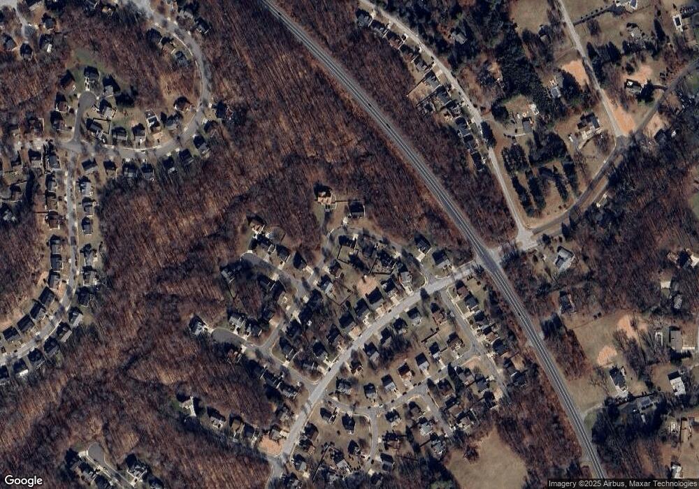
Map
Nearby Homes
- 3204 Carlene Ct
- 4001 Largo Rd
- 3901 Largo Rd
- 4482 Lord Loudoun Ct
- 14000 Lord Marlborough Place
- 13542 Lord Baltimore Place
- 4411 Largo Rd
- 14134 Reverend Rainsford Ct
- 3807 Pentland Hills Dr
- 14000 Town Farm Rd
- 14653 Colonels Choice
- 15301 Kettlebaston Ln
- 14416 Colonel Fenwick Ct
- 4411 Beckenham Place
- 2304 Norwich Place
- 4317 Stockport Way
- 13900 King George Way
- 4720 Colonel Ashton Place
- 4707 King John Way
- 13805 Fareham Ln
Your Personal Tour Guide
Ask me questions while you tour the home.