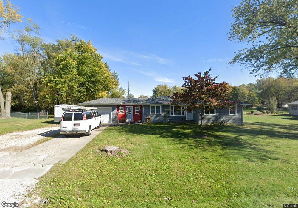
3312 Fite Dr Decatur, IL 62526
Estimated Value: $116,000 - $125,863
--
Bed
--
Bath
1,020
Sq Ft
$120/Sq Ft
Est. Value
About This Home
This home is located at 3312 Fite Dr, Decatur, IL 62526 and is currently estimated at $121,966, approximately $119 per square foot. 3312 Fite Dr is a home located in Macon County with nearby schools including Warrensburg-Latham Elementary School, Warrensburg-Latham Middle School, and Warrensburg-Latham High School.
Ownership History
Date
Name
Owned For
Owner Type
Purchase Details
Closed on
Feb 1, 2009
Sold by
Chaney Marylin Christie and Hoffman Mark
Bought by
Woodside David W and Woodside Heather A
Current Estimated Value
Home Financials for this Owner
Home Financials are based on the most recent Mortgage that was taken out on this home.
Original Mortgage
$80,678
Interest Rate
5.14%
Mortgage Type
New Conventional
Purchase Details
Closed on
Feb 12, 2008
Sold by
Hoffman Shane and Hoffman Crystal
Bought by
Chaney Marylin Christie and Hoffman Mark
Create a Home Valuation Report for This Property
The Home Valuation Report is an in-depth analysis detailing your home's value as well as a comparison with similar homes in the area
Home Values in the Area
Average Home Value in this Area
Purchase History
| Date | Buyer | Sale Price | Title Company |
|---|---|---|---|
| Woodside David W | $79,000 | None Available | |
| Chaney Marylin Christie | -- | None Available |
Source: Public Records
Mortgage History
| Date | Status | Borrower | Loan Amount |
|---|---|---|---|
| Closed | Woodside David W | $80,678 |
Source: Public Records
Tax History Compared to Growth
Tax History
| Year | Tax Paid | Tax Assessment Tax Assessment Total Assessment is a certain percentage of the fair market value that is determined by local assessors to be the total taxable value of land and additions on the property. | Land | Improvement |
|---|---|---|---|---|
| 2024 | $2,819 | $28,824 | $4,475 | $24,349 |
| 2023 | $2,639 | $26,498 | $4,114 | $22,384 |
| 2022 | $2,510 | $24,576 | $3,816 | $20,760 |
| 2021 | $2,406 | $23,376 | $3,568 | $19,808 |
| 2020 | $2,338 | $22,892 | $3,494 | $19,398 |
| 2019 | $2,338 | $22,892 | $3,494 | $19,398 |
| 2018 | $1,735 | $23,056 | $3,519 | $19,537 |
| 2017 | $1,745 | $22,952 | $3,503 | $19,449 |
| 2016 | $1,769 | $23,007 | $3,511 | $19,496 |
| 2015 | $1,728 | $22,734 | $3,469 | $19,265 |
| 2014 | $1,579 | $22,734 | $3,469 | $19,265 |
| 2013 | $1,646 | $22,734 | $3,469 | $19,265 |
Source: Public Records
Map
Nearby Homes
- 2127 Riedel Ave
- 2222 Sands Dr
- 1487 W Glenn Dr
- 1465 W Pershing Rd
- 1474 Meadowview Dr
- 2848 N Primrose Ln
- 3235 N Susan Dr
- 1302 W Pershing Rd
- 3333 N University Ave
- 3321 N Oakland Ave
- 3103 N Oakland Ave
- 1110 Woodridge Ct
- 1225 W Pineview Ct
- 1120 Meadowview Dr
- 3707 N Woodridge Dr
- 2404 N Longwood Dr
- 2281 N Summit Ave
- 1607 W Melrose Ct
- 1720 W Ravina Park Rd
- 1929 W Ravina Park Rd