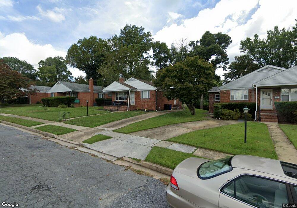
3312 Lee Ct Pikesville, MD 21208
Estimated Value: $398,896 - $485,000
--
Bed
1
Bath
1,260
Sq Ft
$353/Sq Ft
Est. Value
About This Home
This home is located at 3312 Lee Ct, Pikesville, MD 21208 and is currently estimated at $444,724, approximately $352 per square foot. 3312 Lee Ct is a home located in Baltimore County with nearby schools including Wellwood International Elementary, Pikesville Middle School, and Pikesville High School.
Ownership History
Date
Name
Owned For
Owner Type
Purchase Details
Closed on
Jun 15, 2021
Sold by
Meyer And Clara Oxman Family Llc
Bought by
Shitrit Shlomo and Golfeyz Liora B
Current Estimated Value
Home Financials for this Owner
Home Financials are based on the most recent Mortgage that was taken out on this home.
Original Mortgage
$288,000
Outstanding Balance
$260,748
Interest Rate
2.9%
Mortgage Type
New Conventional
Estimated Equity
$183,976
Purchase Details
Closed on
Jun 27, 2013
Sold by
Lurman Ofer and Estate Of Meyer Oxman
Bought by
Meyer & Clara Oxman Family Llc
Create a Home Valuation Report for This Property
The Home Valuation Report is an in-depth analysis detailing your home's value as well as a comparison with similar homes in the area
Home Values in the Area
Average Home Value in this Area
Purchase History
| Date | Buyer | Sale Price | Title Company |
|---|---|---|---|
| Shitrit Shlomo | $360,000 | Clear Title Group | |
| Meyer & Clara Oxman Family Llc | -- | None Available |
Source: Public Records
Mortgage History
| Date | Status | Borrower | Loan Amount |
|---|---|---|---|
| Open | Shitrit Shlomo | $288,000 |
Source: Public Records
Tax History Compared to Growth
Tax History
| Year | Tax Paid | Tax Assessment Tax Assessment Total Assessment is a certain percentage of the fair market value that is determined by local assessors to be the total taxable value of land and additions on the property. | Land | Improvement |
|---|---|---|---|---|
| 2025 | $4,535 | $326,300 | $82,500 | $243,800 |
| 2024 | $4,535 | $307,300 | $0 | $0 |
| 2023 | $2,152 | $288,300 | $0 | $0 |
| 2022 | $3,852 | $269,300 | $82,500 | $186,800 |
| 2021 | $2,898 | $257,133 | $0 | $0 |
| 2020 | $2,969 | $244,967 | $0 | $0 |
| 2019 | $2,822 | $232,800 | $82,500 | $150,300 |
| 2018 | $2,909 | $229,333 | $0 | $0 |
| 2017 | $2,683 | $225,867 | $0 | $0 |
| 2016 | $2,031 | $222,400 | $0 | $0 |
| 2015 | $2,031 | $222,400 | $0 | $0 |
| 2014 | $2,031 | $222,400 | $0 | $0 |
Source: Public Records
Map
Nearby Homes
- 7612 Carla Rd
- 7618 Carla Rd
- 3211 Hatton Rd
- 3213 Hatton Rd
- 3302 Northbrook Rd
- 3221 Shelburne Rd
- 3312 Bonnie Rd
- 3207 Midfield Rd
- 2906 Oakton Ct
- 7420 Park Heights Ave
- 3313 Claran Rd
- 2907 Lightfoot Dr
- 7035 Wallis Ave
- 7380 Park Heights Ave
- 3000 Stone Cliff Dr Unit 307
- 3000 Stone Cliff Dr Unit 205
- 7240 Park Heights Ave Unit 209
- 7240 Park Heights Ave Unit 105
- 7111 Park Heights Ave Unit 103
- 7111 Park Heights Ave Unit 305