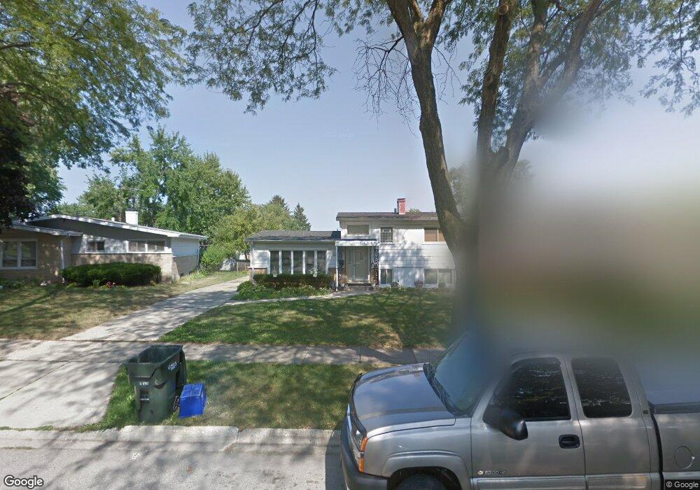
3313 Bristol Rd Unit 1 Waukegan, IL 60087
Estimated Value: $230,000 - $268,000
3
Beds
1
Bath
1,025
Sq Ft
$247/Sq Ft
Est. Value
About This Home
This home is located at 3313 Bristol Rd Unit 1, Waukegan, IL 60087 and is currently estimated at $253,184, approximately $247 per square foot. 3313 Bristol Rd Unit 1 is a home located in Lake County with nearby schools including H R McCall Elementary School, Jack Benny Middle School, and Waukegan High School.
Ownership History
Date
Name
Owned For
Owner Type
Purchase Details
Closed on
May 28, 2013
Sold by
Johnson Rick J and Johnson Ricky L
Bought by
Poniente Properties Llc
Current Estimated Value
Purchase Details
Closed on
Mar 31, 1995
Sold by
Moreno Rudolph O and Moreno Juanita
Bought by
Johnson Ricky L and Johnson Diane
Home Financials for this Owner
Home Financials are based on the most recent Mortgage that was taken out on this home.
Original Mortgage
$105,570
Interest Rate
8.91%
Mortgage Type
Assumption
Create a Home Valuation Report for This Property
The Home Valuation Report is an in-depth analysis detailing your home's value as well as a comparison with similar homes in the area
Home Values in the Area
Average Home Value in this Area
Purchase History
| Date | Buyer | Sale Price | Title Company |
|---|---|---|---|
| Poniente Properties Llc | $41,500 | None Available | |
| Johnson Ricky L | $103,500 | First American Title |
Source: Public Records
Mortgage History
| Date | Status | Borrower | Loan Amount |
|---|---|---|---|
| Previous Owner | Johnson Ricky L | $105,570 |
Source: Public Records
Tax History Compared to Growth
Tax History
| Year | Tax Paid | Tax Assessment Tax Assessment Total Assessment is a certain percentage of the fair market value that is determined by local assessors to be the total taxable value of land and additions on the property. | Land | Improvement |
|---|---|---|---|---|
| 2024 | $6,215 | $72,954 | $10,628 | $62,326 |
| 2023 | $6,215 | $65,907 | $9,602 | $56,305 |
| 2022 | $5,374 | $54,968 | $8,234 | $46,734 |
| 2021 | $4,635 | $50,455 | $7,840 | $42,615 |
| 2020 | $5,328 | $47,005 | $7,304 | $39,701 |
| 2019 | $4,628 | $43,073 | $6,693 | $36,380 |
| 2018 | $4,650 | $35,940 | $8,612 | $27,328 |
| 2017 | $4,526 | $31,797 | $7,619 | $24,178 |
| 2016 | $4,273 | $27,631 | $6,621 | $21,010 |
| 2015 | $4,177 | $24,730 | $5,926 | $18,804 |
| 2014 | $2,048 | $13,228 | $6,134 | $7,094 |
| 2012 | $3,761 | $24,297 | $6,646 | $17,651 |
Source: Public Records
Map
Nearby Homes
- 3411 N Lewis Ave
- 3211 Rugby Ct
- 37966 N Cornell Rd
- 1636 Rice St
- 1730 W Beach Rd
- 3101 Country Club Ln
- 38127 N Shore Ave
- 38362 N Manor Ave
- 38683 N Lewis Ave
- 37905 N Loyola Ave
- 1612 Whitney St
- 2625 Vercoe Ave
- 2613 N Lewis Ave
- 38697 N Cedar Ave
- 11345 W Carnahan Ave
- 12312 W Audrey Ave
- 11342-11364 W Wadsworth Rd
- 12582 W Beach Rd
- 2350 N Lewis Ave
- 2708 Dana Ave
- 3309 Bristol Rd
- 3317 Bristol Rd
- 3312 Stonegate Rd
- 3305 Bristol Rd
- 3316 Stonegate Rd
- 3308 Stonegate Rd
- 3321 Bristol Rd
- 3304 Stonegate Rd
- 3301 Bristol Rd
- 2005 Devonshire Rd
- 3324 Stonegate Rd
- 3325 Bristol Rd
- 3300 Stonegate Rd
- 3304 Bristol Rd
- 2000 Devonshire Rd
- 2009 Devonshire Rd
- 3328 Stonegate Rd
- 3300 Bristol Rd