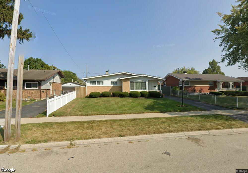
3313 Stonegate Rd Unit 1 Waukegan, IL 60087
Estimated Value: $232,000 - $274,000
3
Beds
2
Baths
1,081
Sq Ft
$238/Sq Ft
Est. Value
About This Home
This home is located at 3313 Stonegate Rd Unit 1, Waukegan, IL 60087 and is currently estimated at $256,975, approximately $237 per square foot. 3313 Stonegate Rd Unit 1 is a home located in Lake County with nearby schools including H R McCall Elementary School, Jack Benny Middle School, and Waukegan High School.
Ownership History
Date
Name
Owned For
Owner Type
Purchase Details
Closed on
Jul 23, 2019
Sold by
Mxtymey Cherie R
Bought by
Gibre Cherie R and Mxtymey Chene R
Current Estimated Value
Purchase Details
Closed on
May 31, 1995
Sold by
Ortiz Osvaldo and Ortiz Ana R
Bought by
Montgomery Cherie R
Home Financials for this Owner
Home Financials are based on the most recent Mortgage that was taken out on this home.
Original Mortgage
$92,150
Interest Rate
7.9%
Create a Home Valuation Report for This Property
The Home Valuation Report is an in-depth analysis detailing your home's value as well as a comparison with similar homes in the area
Home Values in the Area
Average Home Value in this Area
Purchase History
| Date | Buyer | Sale Price | Title Company |
|---|---|---|---|
| Gibre Cherie R | -- | None Available | |
| Montgomery Cherie R | $95,000 | -- |
Source: Public Records
Mortgage History
| Date | Status | Borrower | Loan Amount |
|---|---|---|---|
| Closed | Montgomery Cherie R | $92,150 |
Source: Public Records
Tax History Compared to Growth
Tax History
| Year | Tax Paid | Tax Assessment Tax Assessment Total Assessment is a certain percentage of the fair market value that is determined by local assessors to be the total taxable value of land and additions on the property. | Land | Improvement |
|---|---|---|---|---|
| 2024 | $4,547 | $62,236 | $10,367 | $51,869 |
| 2023 | $4,547 | $56,224 | $9,366 | $46,858 |
| 2022 | $3,989 | $46,808 | $8,031 | $38,777 |
| 2021 | $4,319 | $47,423 | $7,648 | $39,775 |
| 2020 | $4,328 | $44,180 | $7,125 | $37,055 |
| 2019 | $4,306 | $40,484 | $6,529 | $33,955 |
| 2018 | $3,749 | $35,354 | $8,402 | $26,952 |
| 2017 | $3,626 | $31,278 | $7,433 | $23,845 |
| 2016 | $3,276 | $27,179 | $6,459 | $20,720 |
| 2015 | $3,096 | $24,326 | $5,781 | $18,545 |
| 2014 | $3,041 | $23,513 | $6,135 | $17,378 |
| 2012 | $3,989 | $25,473 | $6,646 | $18,827 |
Source: Public Records
Map
Nearby Homes
- 3411 N Lewis Ave
- 37966 N Cornell Rd
- 3211 Rugby Ct
- 1636 Rice St
- 1730 W Beach Rd
- 38127 N Shore Ave
- 3101 Country Club Ln
- 38362 N Manor Ave
- 37905 N Loyola Ave
- 38683 N Lewis Ave
- 1612 Whitney St
- 2613 N Lewis Ave
- 2625 Vercoe Ave
- 38697 N Cedar Ave
- 11345 W Carnahan Ave
- 11342-11364 W Wadsworth Rd
- 12312 W Audrey Ave
- 2350 N Lewis Ave
- 12582 W Beach Rd
- 2708 Dana Ave
- 3317 Stonegate Rd Unit 1
- 3309 Stonegate Rd
- 3305 Stonegate Rd Unit 1
- 3321 Stonegate Rd
- 3312 N Lewis Ave
- 3316 N Lewis Ave Unit 1
- 3308 N Lewis Ave
- 3320 N Lewis Ave
- 3304 N Lewis Ave Unit 4
- 3312 Stonegate Rd
- 3325 Stonegate Rd
- 3301 Stonegate Rd Unit 1
- 3308 Stonegate Rd
- 3316 Stonegate Rd
- 3304 Stonegate Rd
- 3324 N Lewis Ave
- 3300 N Lewis Ave
- 3329 Stonegate Rd Unit 1
- 3300 Stonegate Rd
- 3324 Stonegate Rd