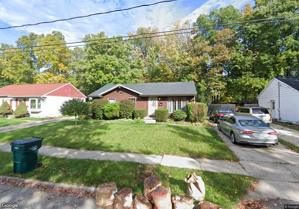
3314 Argyll Dr Lansing, MI 48911
Averill Woods NeighborhoodEstimated Value: $118,485 - $179,000
Studio
--
Bath
957
Sq Ft
$159/Sq Ft
Est. Value
About This Home
This home is located at 3314 Argyll Dr, Lansing, MI 48911 and is currently estimated at $152,371, approximately $159 per square foot. 3314 Argyll Dr is a home located in Ingham County with nearby schools including Averill Elementary School, Attwood School, and J.W. Sexton High School.
Ownership History
Date
Name
Owned For
Owner Type
Purchase Details
Closed on
Jul 15, 2003
Sold by
Andrykovic David J and Andrykovic Rosario B
Bought by
Mahaffey Michael B and Mahaffey Teresa B
Current Estimated Value
Home Financials for this Owner
Home Financials are based on the most recent Mortgage that was taken out on this home.
Original Mortgage
$104,275
Outstanding Balance
$44,500
Interest Rate
5.31%
Mortgage Type
Purchase Money Mortgage
Estimated Equity
$107,872
Purchase Details
Closed on
Jul 1, 1992
Create a Home Valuation Report for This Property
The Home Valuation Report is an in-depth analysis detailing your home's value as well as a comparison with similar homes in the area
Home Values in the Area
Average Home Value in this Area
Purchase History
| Date | Buyer | Sale Price | Title Company |
|---|---|---|---|
| Mahaffey Michael B | $107,500 | Transnation Title | |
| -- | $52,000 | -- |
Source: Public Records
Mortgage History
| Date | Status | Borrower | Loan Amount |
|---|---|---|---|
| Open | Mahaffey Michael B | $104,275 |
Source: Public Records
Tax History
| Year | Tax Paid | Tax Assessment Tax Assessment Total Assessment is a certain percentage of the fair market value that is determined by local assessors to be the total taxable value of land and additions on the property. | Land | Improvement |
|---|---|---|---|---|
| 2025 | $2,594 | $65,700 | $8,600 | $57,100 |
| 2024 | $20 | $61,500 | $8,600 | $52,900 |
| 2023 | $2,433 | $52,600 | $8,600 | $44,000 |
| 2022 | $2,123 | $47,900 | $8,600 | $39,300 |
| 2021 | $2,079 | $45,500 | $6,300 | $39,200 |
| 2020 | $2,066 | $42,200 | $6,300 | $35,900 |
| 2019 | $1,979 | $39,400 | $6,300 | $33,100 |
| 2018 | $1,856 | $35,300 | $6,300 | $29,000 |
| 2017 | $1,776 | $35,300 | $6,300 | $29,000 |
| 2016 | $1,699 | $31,400 | $6,300 | $25,100 |
| 2015 | $1,699 | $30,800 | $12,682 | $18,118 |
| 2014 | $1,699 | $29,800 | $18,447 | $11,353 |
Source: Public Records
Map
Nearby Homes
- 3112 Shetland Rd
- 3230 S Deerfield Ave
- 0 S Deerfield Ave
- 3618 Malibu Dr
- 3100 Glenbrook Dr
- 3721 Kendalwood Dr
- 2924 Woodview Dr
- 2408 Dunlap St
- 2500 Skye Rd
- 3425 Cooley Dr
- 2409 Victor Ave
- 3924 Wedgewood Dr
- 2 Locust Ln
- 3714 Brighton Dr
- 3907 Ingham St
- 3522 Saint Andrews Cir Unit 33
- 4209 Brighton Dr
- 3508 Muirfield Dr
- 3601 Muirfield Dr
- 3612 Muirfield Dr Unit 5
Your Personal Tour Guide
Ask me questions while you tour the home.