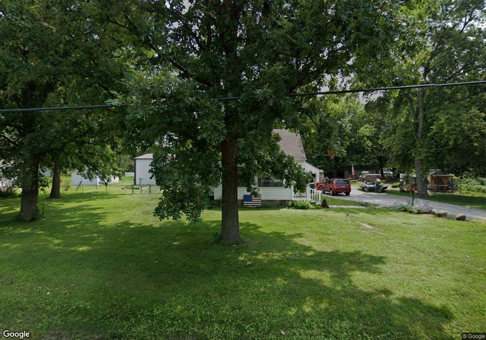
3314 N Westlawn Ave Decatur, IL 62526
Estimated Value: $138,292 - $187,000
--
Bed
--
Bath
896
Sq Ft
$179/Sq Ft
Est. Value
About This Home
This home is located at 3314 N Westlawn Ave, Decatur, IL 62526 and is currently estimated at $160,573, approximately $179 per square foot. 3314 N Westlawn Ave is a home located in Macon County with nearby schools including Warrensburg-Latham Elementary School, Warrensburg-Latham Middle School, and Warrensburg-Latham High School.
Ownership History
Date
Name
Owned For
Owner Type
Purchase Details
Closed on
Jan 20, 2009
Sold by
Havener Lindsee N and Havener Kacey L
Bought by
Goodman Keith S
Current Estimated Value
Purchase Details
Closed on
Mar 22, 2005
Sold by
Meek Jack L
Bought by
Meek Jack L and Meek Linda K
Create a Home Valuation Report for This Property
The Home Valuation Report is an in-depth analysis detailing your home's value as well as a comparison with similar homes in the area
Home Values in the Area
Average Home Value in this Area
Purchase History
| Date | Buyer | Sale Price | Title Company |
|---|---|---|---|
| Goodman Keith S | $15,000 | None Available | |
| Meek Jack L | -- | None Available |
Source: Public Records
Tax History Compared to Growth
Tax History
| Year | Tax Paid | Tax Assessment Tax Assessment Total Assessment is a certain percentage of the fair market value that is determined by local assessors to be the total taxable value of land and additions on the property. | Land | Improvement |
|---|---|---|---|---|
| 2024 | $1,674 | $57,819 | $4,475 | $53,344 |
| 2023 | $1,701 | $53,152 | $4,114 | $49,038 |
| 2022 | $1,745 | $49,297 | $3,816 | $45,481 |
| 2021 | $1,798 | $46,963 | $3,568 | $43,395 |
| 2020 | $2,302 | $28,412 | $3,779 | $24,633 |
| 2019 | $2,302 | $28,412 | $3,779 | $24,633 |
| 2018 | $2,298 | $28,615 | $3,806 | $24,809 |
| 2017 | $2,300 | $28,487 | $3,789 | $24,698 |
| 2016 | $2,327 | $28,555 | $3,798 | $24,757 |
| 2015 | $2,268 | $28,216 | $3,753 | $24,463 |
| 2014 | $1,124 | $28,216 | $3,753 | $24,463 |
| 2013 | $1,172 | $28,216 | $3,753 | $24,463 |
Source: Public Records
Map
Nearby Homes
- 2127 Riedel Ave
- 2222 Sands Dr
- 1487 W Glenn Dr
- 1465 W Pershing Rd
- 2848 N Primrose Ln
- 1474 Meadowview Dr
- 3235 N Susan Dr
- 1302 W Pershing Rd
- 3333 N University Ave
- 3321 N Oakland Ave
- 3103 N Oakland Ave
- 2404 N Longwood Dr
- 1110 Woodridge Ct
- 1225 W Pineview Ct
- 1120 Meadowview Dr
- 3707 N Woodridge Dr
- 2281 N Summit Ave
- 1607 W Melrose Ct
- 1929 W Ravina Park Rd
- 1720 W Ravina Park Rd
- 3320 N Westlawn Ave
- 3310 N Westlawn Ave
- 3311 Fite Dr
- 2206 Dunes Dr
- 2205 Dunes Dr
- 3306 N Westlawn Ave
- 2145 Riedel Ave
- 2185 Riedel Ave
- 3347 Fite Dr
- 3257 Fite Dr
- 3303 Fite Dr
- 3311 N Westlawn Ave
- 2219 Sands Dr
- 2215 Dunes Dr
- 3296 N Westlawn Ave
- 2220 Dunes Dr
- 3312 Fite Dr
- 3304 Fite Dr
- 3251 Fite Dr
- 2210 Frontier Rd