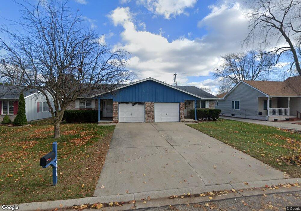
3314 Shenandoah Ave Port Huron, MI 48060
Estimated Value: $261,939 - $307,000
2
Beds
1
Bath
2,448
Sq Ft
$120/Sq Ft
Est. Value
About This Home
This home is located at 3314 Shenandoah Ave, Port Huron, MI 48060 and is currently estimated at $293,235, approximately $119 per square foot. 3314 Shenandoah Ave is a home located in St. Clair County with nearby schools including Garfield Elementary School, Holland Woods Middle School, and Port Huron Northern High School.
Ownership History
Date
Name
Owned For
Owner Type
Purchase Details
Closed on
Nov 4, 2022
Sold by
Ainsworth John and Ainsworth Nancy
Bought by
Ainsworth John A and Ainsworth Nancy J
Current Estimated Value
Purchase Details
Closed on
May 15, 2008
Sold by
Moody Glen M and Moody Mildred M
Bought by
Ainsworth John and Ainsworth Nancy
Purchase Details
Closed on
Sep 28, 2007
Sold by
Moody Glen M and Moody Mildred M
Bought by
Moody Glen M and Moody Mildred M
Create a Home Valuation Report for This Property
The Home Valuation Report is an in-depth analysis detailing your home's value as well as a comparison with similar homes in the area
Home Values in the Area
Average Home Value in this Area
Purchase History
| Date | Buyer | Sale Price | Title Company |
|---|---|---|---|
| Ainsworth John A | -- | None Listed On Document | |
| Ainsworth John | $155,000 | Lawyers Title | |
| Moody Glen M | -- | None Available |
Source: Public Records
Tax History Compared to Growth
Tax History
| Year | Tax Paid | Tax Assessment Tax Assessment Total Assessment is a certain percentage of the fair market value that is determined by local assessors to be the total taxable value of land and additions on the property. | Land | Improvement |
|---|---|---|---|---|
| 2025 | $4,177 | $135,300 | $0 | $0 |
| 2024 | $3,772 | $124,600 | $0 | $0 |
| 2023 | $3,572 | $110,400 | $0 | $0 |
| 2022 | $3,693 | $98,400 | $0 | $0 |
| 2021 | $3,525 | $85,600 | $0 | $0 |
| 2020 | $3,539 | $82,100 | $82,100 | $0 |
| 2019 | $3,475 | $71,400 | $0 | $0 |
| 2018 | $3,397 | $71,400 | $0 | $0 |
| 2017 | $3,116 | $65,200 | $0 | $0 |
| 2016 | $2,793 | $65,200 | $0 | $0 |
| 2015 | $2,741 | $57,700 | $57,700 | $0 |
| 2014 | $2,741 | $52,100 | $52,100 | $0 |
| 2013 | -- | $50,100 | $0 | $0 |
Source: Public Records
Map
Nearby Homes
- 1424 Hazelwood Ln
- 3214 Poplar St
- 3321 Stone St
- 1020 Sanborn St
- 2913 11th Ave
- 1202 Palmer Ct
- 1531 Robinson St
- 3208 Mount Vernon Rd
- 3455 Gratiot Ave
- 1434 Schumaker St
- 3419 Riverside Dr
- 1218 Garfield St
- 2835 17th Ave
- 2812 19th Ave
- 1116 Hancock St
- 2215 Hancock St
- 2857 Riverside Dr
- 3515 Strawberry Ln
- 2400 Stone St Unit 2414
- 2419 Cherry St
- 3304 Shenandoah Ave Unit 3306
- 3338 Shenandoah Ave Unit 3340
- 1424 Coventry Ln
- 3407 10th Ave
- 3401 10th Ave
- 1404 Old Squire Ln
- 3400 Shenandoah Ave
- 1414 Old Squire Ln
- 1422 Old Squire Ln
- 1433 Old Squire Ln
- 1437 Old Squire Ln
- 3329 10th Ave
- 3405 10th Ave
- 3405 10th Ave
- 1430 Coventry Ln
- 1430 Old Squire Ln
- 1436 Coventry Ln
- 1429 Sanborn St
- 1436 Old Squire Ln
- 3323 10th Ave