3316 E 1300 N Layton, UT 84040
Estimated Value: $860,000 - $1,487,605
6
Beds
4
Baths
3,415
Sq Ft
$364/Sq Ft
Est. Value
About This Home
This home is located at 3316 E 1300 N, Layton, UT 84040 and is currently estimated at $1,244,401, approximately $364 per square foot. 3316 E 1300 N is a home located in Davis County with nearby schools including East Layton Elementary School, Central Davis Junior High School, and Layton High School.
Ownership History
Date
Name
Owned For
Owner Type
Purchase Details
Closed on
May 23, 2007
Sold by
Wall Neil Jay and Wall Lael Porter
Bought by
Wall Lael and Wall Neil J
Current Estimated Value
Purchase Details
Closed on
May 5, 2006
Sold by
N W C Inc
Bought by
River Ridge Partners Lc
Purchase Details
Closed on
Dec 15, 1999
Sold by
Wall Neil Jay
Bought by
The Trust For Public Land
Purchase Details
Closed on
May 3, 1996
Sold by
Crimin Duane W and Crimin Bryan D
Bought by
Wall Neil and Scott Priest R
Create a Home Valuation Report for This Property
The Home Valuation Report is an in-depth analysis detailing your home's value as well as a comparison with similar homes in the area
Home Values in the Area
Average Home Value in this Area
Purchase History
| Date | Buyer | Sale Price | Title Company |
|---|---|---|---|
| Wall Lael | -- | None Available | |
| River Ridge Partners Lc | -- | Accommodation | |
| The Trust For Public Land | -- | Founders Title Co | |
| Wall Neil Jay | -- | Founders Title Co | |
| Wall Neil | -- | Founders Title Co | |
| Wall Neil | -- | Founders Title Co |
Source: Public Records
Tax History Compared to Growth
Tax History
| Year | Tax Paid | Tax Assessment Tax Assessment Total Assessment is a certain percentage of the fair market value that is determined by local assessors to be the total taxable value of land and additions on the property. | Land | Improvement |
|---|---|---|---|---|
| 2024 | $8,509 | $583,223 | $288,389 | $294,834 |
| 2023 | $8,070 | $1,182,216 | $828,918 | $353,297 |
| 2022 | $8,137 | $2,126,754 | $1,467,772 | $658,982 |
| 2021 | $6,801 | $1,574,866 | $1,245,974 | $328,892 |
| 2020 | $6,419 | $1,336,870 | $1,062,870 | $274,000 |
| 2019 | $6,236 | $1,301,641 | $1,054,612 | $247,029 |
| 2018 | $5,885 | $1,255,604 | $1,007,200 | $248,404 |
| 2016 | $5,778 | $322,263 | $85,529 | $236,734 |
| 2015 | $5,331 | $294,590 | $85,529 | $209,061 |
| 2014 | $4,975 | $294,601 | $85,540 | $209,061 |
| 2013 | -- | $258,174 | $49,613 | $208,561 |
Source: Public Records
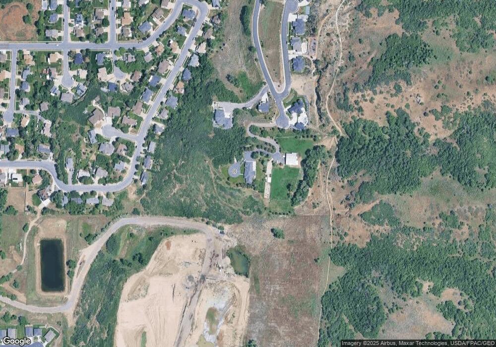
Map
Nearby Homes
- 2855 E Gentile St Unit 1
- 1870 N Valley View Dr Unit 201
- 717 Woodridge Dr
- 2885 E Mosley Ct N Unit 10
- 2867 E Mosley Ct N Unit 9
- 2857 E Mosley Ct N Unit 8
- 2851 E Mosley Ct N Unit 7
- 2848 E Mosley Ct N Unit 6
- 2858 E Mosley Ct N Unit 5
- 1039 N Mosley Ct E Unit 4
- 1029 N Mosley Ct E Unit 3
- 2250 N 1450 E
- 2422 N 1675 E
- 643 Woodridge Dr
- 1262 N 2575 E
- 1283 N 2575 E
- 1627 N 2800 E
- 1691 N 2800 E
- 228 N 2800 E
- 2345 E Cherry Ln
- 1149 Daniel's Canyon Dr Unit 10
- 1149 Daniel's Canyon Dr Unit 10
- 1123 Daniel's Canyon Dr Unit 9
- 1102 Daniels Canyon Dr Unit 8
- 1130 N Daniel's Cove Unit 7
- 1130 N Daniel's Cove Unit 7
- 3166 Orson F Dr
- 3158 Orson F Dr
- 1146 N Daniel's Cove Unit 6
- 1146 N Daniel's Cove Unit 6
- 3144 Orson F Dr
- 3144 Orson F Dr
- 3144 Orson F Dr Unit 20
- 3144 Orson F Dr Unit 20
- 1132 N 3150 E
- 1148 N 3150 E
- 3130 Orson F Dr
- 1164 N 3150 E
- 1178 N 3150 E
- 1168 N Daniel's Cove Unit 5