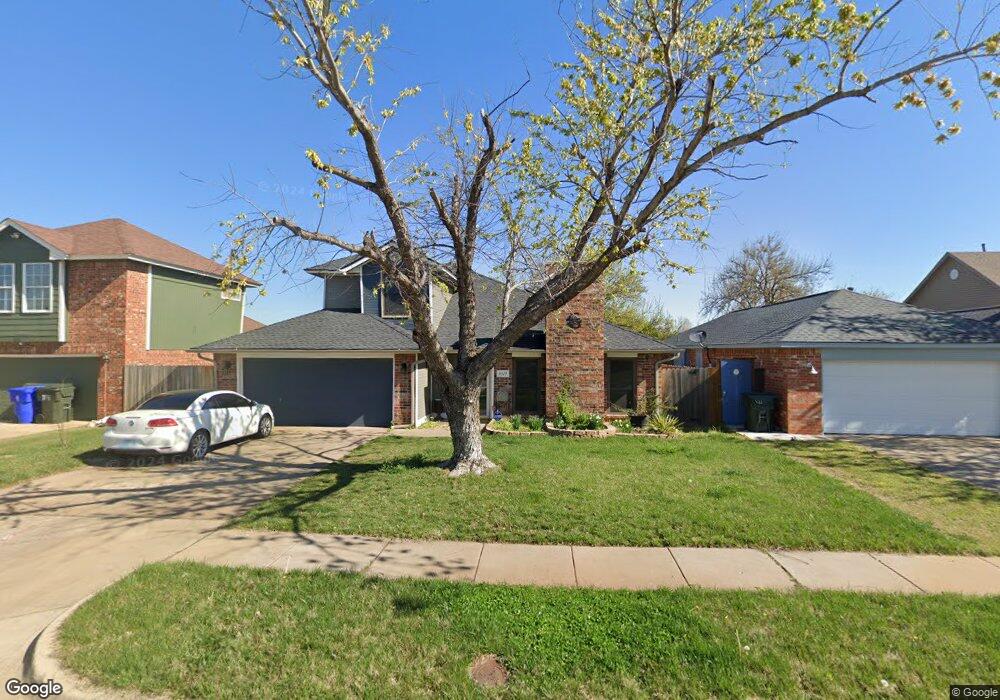
3317 Outpost Cir Norman, OK 73072
Northwest Norman NeighborhoodEstimated Value: $231,000 - $264,690
4
Beds
2
Baths
2,020
Sq Ft
$126/Sq Ft
Est. Value
About This Home
This home is located at 3317 Outpost Cir, Norman, OK 73072 and is currently estimated at $254,923, approximately $126 per square foot. 3317 Outpost Cir is a home located in Cleveland County with nearby schools including Adams Elementary School, Whittier Middle School, and Norman North High School.
Ownership History
Date
Name
Owned For
Owner Type
Purchase Details
Closed on
Oct 21, 2005
Sold by
Moffett Edward F and Moffett Mary E
Bought by
Gregory Jonathan D and Gregory Lori K
Current Estimated Value
Home Financials for this Owner
Home Financials are based on the most recent Mortgage that was taken out on this home.
Original Mortgage
$124,400
Outstanding Balance
$64,819
Interest Rate
5.73%
Mortgage Type
Purchase Money Mortgage
Estimated Equity
$190,104
Create a Home Valuation Report for This Property
The Home Valuation Report is an in-depth analysis detailing your home's value as well as a comparison with similar homes in the area
Home Values in the Area
Average Home Value in this Area
Purchase History
| Date | Buyer | Sale Price | Title Company |
|---|---|---|---|
| Gregory Jonathan D | $155,500 | Alliance Title Services |
Source: Public Records
Mortgage History
| Date | Status | Borrower | Loan Amount |
|---|---|---|---|
| Open | Gregory Jonathan D | $124,400 |
Source: Public Records
Tax History
| Year | Tax Paid | Tax Assessment Tax Assessment Total Assessment is a certain percentage of the fair market value that is determined by local assessors to be the total taxable value of land and additions on the property. | Land | Improvement |
|---|---|---|---|---|
| 2025 | $2,782 | $23,177 | $4,042 | $19,135 |
| 2024 | $2,644 | $22,074 | $3,445 | $18,629 |
| 2023 | $2,524 | $21,023 | $4,049 | $16,974 |
| 2022 | $2,305 | $20,022 | $4,049 | $15,973 |
| 2021 | $2,315 | $19,068 | $2,760 | $16,308 |
| 2020 | $2,266 | $19,068 | $2,760 | $16,308 |
| 2019 | $2,304 | $19,068 | $2,760 | $16,308 |
| 2018 | $2,234 | $19,069 | $2,760 | $16,309 |
| 2017 | $2,258 | $19,069 | $0 | $0 |
| 2016 | $2,255 | $18,731 | $2,711 | $16,020 |
| 2015 | $2,084 | $17,839 | $1,343 | $16,496 |
| 2014 | $2,032 | $17,230 | $1,297 | $15,933 |
Source: Public Records
Map
Nearby Homes
- 3305 Fireside Cir
- 3201 Dove Crossing Dr
- 1929 Guilford Ct
- 1907 Rosebrook Ct
- 3801 Brenton Ct
- 2611 Brixton Dr
- 2603 Brixton Dr
- 2600 Brixton Dr
- 3805 Brenton Ct
- 3109 Greenwood Ct
- 3719 Barwick Ct
- 3805 Danfield Ln
- 3901 Annalane Dr
- 3713 Windover Dr
- 0 W Rock Creek Rd
- 3616 Burlington Dr
- 2105 Wyckham Place
- 4107 Northhampton Dr
- 2804 Brompton Dr
- 2520 Highbury Dr
- 3313 Outpost Cir
- 3321 Outpost Cir
- 3309 Outpost Cir
- 3325 Outpost Cir
- 3316 Outpost Cir
- 3312 Outpost Cir
- 2001 Pendleton Dr
- 3308 Outpost Cir
- 3301 Outpost Cir
- 3304 Outpost Cir
- 3313 Homestead Ct
- 3317 Homestead Ct
- 3401 Pathway Cir
- 3405 Pathway Cir
- 3400 Pathway Cir
- 3321 Homestead Ct
- 3309 Homestead Ct
- 3305 Homestead Ct
- 3409 Pathway Cir
- 3400 Abilene Cir
Your Personal Tour Guide
Ask me questions while you tour the home.