3317 Whitetail Rd Gum Spring, VA 23065
Estimated Value: $310,000 - $339,992
3
Beds
2
Baths
1,413
Sq Ft
$228/Sq Ft
Est. Value
About This Home
This home is located at 3317 Whitetail Rd, Gum Spring, VA 23065 and is currently estimated at $321,998, approximately $227 per square foot. 3317 Whitetail Rd is a home located in Goochland County with nearby schools including Goochland Middle School and Goochland High School.
Ownership History
Date
Name
Owned For
Owner Type
Purchase Details
Closed on
Apr 19, 2005
Sold by
Paquette Steven R and Castello Paige
Bought by
Collawn Aubrey C and Collawn Vickie H
Current Estimated Value
Home Financials for this Owner
Home Financials are based on the most recent Mortgage that was taken out on this home.
Original Mortgage
$155,000
Outstanding Balance
$81,384
Interest Rate
6.05%
Mortgage Type
New Conventional
Estimated Equity
$240,614
Create a Home Valuation Report for This Property
The Home Valuation Report is an in-depth analysis detailing your home's value as well as a comparison with similar homes in the area
Home Values in the Area
Average Home Value in this Area
Purchase History
| Date | Buyer | Sale Price | Title Company |
|---|---|---|---|
| Collawn Aubrey C | $175,000 | None Available |
Source: Public Records
Mortgage History
| Date | Status | Borrower | Loan Amount |
|---|---|---|---|
| Open | Collawn Aubrey C | $155,000 |
Source: Public Records
Tax History Compared to Growth
Tax History
| Year | Tax Paid | Tax Assessment Tax Assessment Total Assessment is a certain percentage of the fair market value that is determined by local assessors to be the total taxable value of land and additions on the property. | Land | Improvement |
|---|---|---|---|---|
| 2025 | $1,394 | $263,100 | $69,700 | $193,400 |
| 2024 | $1,305 | $246,200 | $61,800 | $184,400 |
| 2023 | $1,278 | $241,200 | $60,300 | $180,900 |
| 2022 | $1,202 | $226,700 | $57,500 | $169,200 |
| 2021 | $1,089 | $205,400 | $57,100 | $148,300 |
| 2020 | $1,019 | $197,300 | $60,700 | $136,600 |
| 2019 | $1,019 | $192,200 | $60,700 | $131,500 |
| 2018 | $952 | $168,200 | $58,700 | $109,500 |
| 2017 | $910 | $179,100 | $58,700 | $120,400 |
| 2016 | $436 | $164,400 | $52,700 | $111,700 |
| 2015 | $871 | $164,400 | $52,700 | $111,700 |
| 2014 | -- | $160,900 | $53,000 | $107,900 |
Source: Public Records
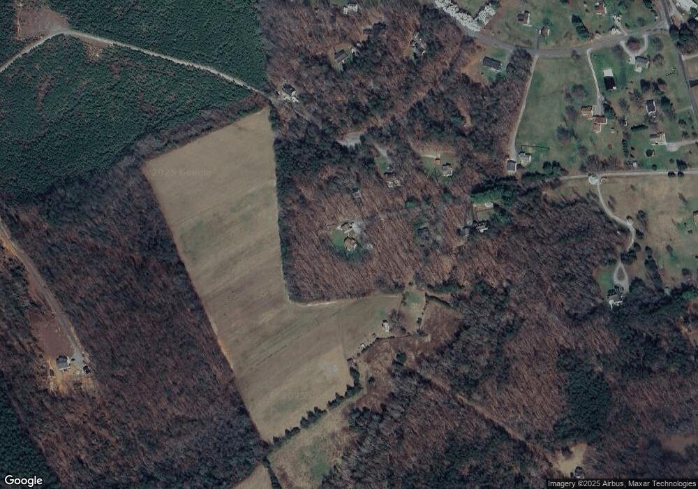
Map
Nearby Homes
- 2951 Preston Park Ct
- 3101 Rocketts Ridge Ct
- Asheboro Plan at Rocketts Ridge
- McDowell Plan at Rocketts Ridge
- Roanoke Plan at Rocketts Ridge
- Caldwell Plan at Rocketts Ridge
- Raleigh Plan at Rocketts Ridge
- Charleston Plan at Rocketts Ridge
- Waverly Plan at Rocketts Ridge
- Colfax Plan at Rocketts Ridge
- Davidson Plan at Rocketts Ridge
- Cypress Plan at Rocketts Ridge
- 3719 Rocketts Ridge Dr
- 3717 Rocketts Ridge Dr
- 3716 Rocketts Ridge Dr
- 3718 Rocketts Ridge Dr
- 16885 Watchman Way
- 3712 Rocketts Ridge Dr
- 0 Broad Street Rd Unit 2516059
- 3708 Rocketts Ridge Dr
- 143 Buck Dr
- 3309 Whitetail Rd
- 3303 Whitetail Rd
- 119 Buck Dr
- 3295 Whitetail Rd
- 83 Buck Dr
- 144 Buck Dr
- 55 Buck Dr
- 104 Buck Dr
- 107 Deerwood Dr
- 0 Whitetail Dr
- LOT 34 Whitetail Dr
- 191 Deerwood Dr
- 145 Deerwood Dr
- 235 Deerwood Dr
- 277 Deerwood Dr
- 297 Deerwood Dr
- 3285 Whitetail Rd
- 79 Deerwood Dr
- 190 Deerwood Dr