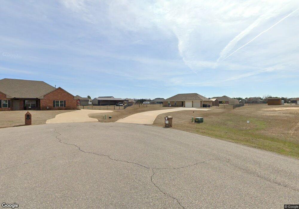
3318 David Dr Shawnee, OK 74804
Estimated Value: $386,000 - $504,000
4
Beds
3
Baths
2,894
Sq Ft
$156/Sq Ft
Est. Value
About This Home
This home is located at 3318 David Dr, Shawnee, OK 74804 and is currently estimated at $450,849, approximately $155 per square foot. 3318 David Dr is a home with nearby schools including Dale Elementary School, Dale Middle School, and Dale High School.
Ownership History
Date
Name
Owned For
Owner Type
Purchase Details
Closed on
Aug 11, 2014
Sold by
Galen Kenneth and Galen Sondra El
Bought by
Marcum Crystal N and Marcum Shawn
Current Estimated Value
Purchase Details
Closed on
Jul 30, 2014
Sold by
J R Land Llc
Bought by
Galen Kenneth and Galen Sondra El
Create a Home Valuation Report for This Property
The Home Valuation Report is an in-depth analysis detailing your home's value as well as a comparison with similar homes in the area
Home Values in the Area
Average Home Value in this Area
Purchase History
| Date | Buyer | Sale Price | Title Company |
|---|---|---|---|
| Marcum Crystal N | $20,500 | -- | |
| Galen Kenneth | $17,500 | -- |
Source: Public Records
Tax History
| Year | Tax Paid | Tax Assessment Tax Assessment Total Assessment is a certain percentage of the fair market value that is determined by local assessors to be the total taxable value of land and additions on the property. | Land | Improvement |
|---|---|---|---|---|
| 2025 | $3,806 | $36,577 | $2,225 | $34,352 |
| 2024 | $3,760 | $34,835 | $2,119 | $32,716 |
| 2023 | $3,760 | $33,177 | $2,100 | $31,077 |
| 2022 | $3,407 | $33,177 | $2,100 | $31,077 |
| 2021 | $3,739 | $33,177 | $2,100 | $31,077 |
| 2020 | $3,814 | $33,850 | $2,100 | $31,750 |
| 2019 | $3,668 | $31,352 | $2,100 | $29,252 |
| 2018 | $3,666 | $31,660 | $2,100 | $29,560 |
| 2017 | $3,510 | $31,427 | $2,460 | $28,967 |
| 2016 | $241 | $2,460 | $2,460 | $0 |
| 2015 | $238 | $2,460 | $2,460 | $0 |
| 2014 | $24 | $252 | $252 | $0 |
Source: Public Records
Map
Nearby Homes
- 5668 Bent Creek Rd
- 5636 Bent Creek Rd
- 319 Starlight Dr
- 5610 Bent Creek Rd
- 33205 Amy Ave
- 5592 Bent Creek Rd
- 32903 Tincup Dr
- 0 May Addition Rd Unit 1195332
- 300 Braid Ln
- 103 Valley Rim Ct
- 118 Savannah Square
- 9202 Cleo Ln
- 104 Savanna Place
- 31097 Elderberry Dr
- 0 SE 74th St
- 13361 Mulberry Cir
- 13411 Huckleberry Ln
- 13431 Dewberry Rd
- 13446 Dewberry Rd
- 31065 Elderberry Dr
- 112 Venus Ct
- 108 Venus Ct
- 114 Venus Ct
- 33206 Amy Ave
- 33180 David Dr
- 13104 Scott Cir
- 33209 Amy Ave
- 33165 David Dr
- 13102 Scott Cir
- 33301 Amy Ave
- 33200 Amy Ave
- 13107 Scott Cir
- 113 Starlight Dr
- 112 Starlight Dr
- 128 Starlight Dr
- 134 Starlight Dr
- 131 Starlight Dr
- 124 Starlight Dr
- 119 Starlight Dr
- 118 Starlight Dr
Your Personal Tour Guide
Ask me questions while you tour the home.