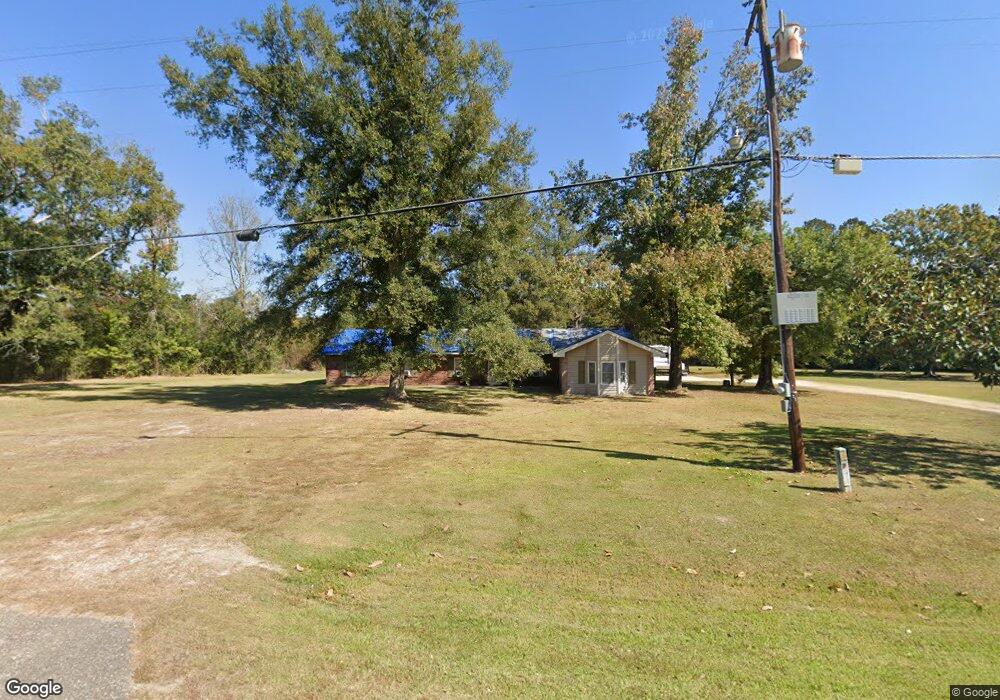
33180 Highway 43 Independence, LA 70443
Estimated Value: $200,000 - $431,000
Studio
--
Bath
--
Sq Ft
1.72
Acres
About This Home
This home is located at 33180 Highway 43, Independence, LA 70443 and is currently estimated at $269,961. 33180 Highway 43 is a home located in Livingston Parish with nearby schools including Albany Lower Elementary School, Albany Upper Elementary School, and Albany Middle School.
Ownership History
Date
Name
Owned For
Owner Type
Purchase Details
Closed on
Oct 14, 2005
Sold by
First Community Bank
Bought by
Nelson Charles J and Nelson Trina K
Current Estimated Value
Home Financials for this Owner
Home Financials are based on the most recent Mortgage that was taken out on this home.
Original Mortgage
$130,500
Outstanding Balance
$84,657
Interest Rate
9.35%
Mortgage Type
Adjustable Rate Mortgage/ARM
Estimated Equity
$185,304
Purchase Details
Closed on
Apr 25, 2005
Sold by
Wilkinson Claude William and Wilkinson Monica Lyn Faulkner
Bought by
First Community Bank
Create a Home Valuation Report for This Property
The Home Valuation Report is an in-depth analysis detailing your home's value as well as a comparison with similar homes in the area
Home Values in the Area
Average Home Value in this Area
Purchase History
| Date | Buyer | Sale Price | Title Company |
|---|---|---|---|
| Nelson Charles J | $147,000 | Tangi Title | |
| First Community Bank | $60,000 | None Available |
Source: Public Records
Mortgage History
| Date | Status | Borrower | Loan Amount |
|---|---|---|---|
| Open | Nelson Charles J | $130,500 |
Source: Public Records
Tax History
| Year | Tax Paid | Tax Assessment Tax Assessment Total Assessment is a certain percentage of the fair market value that is determined by local assessors to be the total taxable value of land and additions on the property. | Land | Improvement |
|---|---|---|---|---|
| 2024 | $1,608 | $20,132 | $2,660 | $17,472 |
| 2023 | $1,305 | $14,970 | $2,660 | $12,310 |
| 2022 | $1,318 | $14,970 | $2,660 | $12,310 |
| 2021 | $1,323 | $14,970 | $2,660 | $12,310 |
| 2020 | $1,312 | $14,970 | $2,660 | $12,310 |
| 2019 | $1,177 | $13,270 | $2,660 | $10,610 |
| 2018 | $1,177 | $13,270 | $2,660 | $10,610 |
| 2017 | $1,124 | $12,740 | $2,660 | $10,080 |
| 2015 | $523 | $13,430 | $2,660 | $10,770 |
| 2014 | $535 | $13,430 | $2,660 | $10,770 |
Source: Public Records
Map
Nearby Homes
- 30840 Hubert Stilley Rd
- 32451 Chapel Pine Dr
- 32477 Chapel Pine Dr
- 32505 Chapel Pine Dr
- 29658 Billyjoe Rd
- 32531 Chapel Pine Dr
- 29644 Billyjoe Rd
- 24755 Lot A-3 442 Hwy
- 24755 Lot A-5 442 Hwy
- 29417 Mary Kinchen Rd
- 51120 Highway 1063
- 27499 Turkey Creek Rd
- 25232 Louisiana 442
- Lot 4A/4B Carter Purvis Rd
- 34167 Ambrose Hoover Rd
- 1.07 AC Wagner Rd
- 27184 N Horseshoe Rd
- 29755 Sam Herring Rd
- LOT 4E Horseshoe Road North Rd
- 38774 McCarrol Rd
- 30020 Hubert Stilley Rd
- 29201 Hubert Stilley Rd
- 33223 Highway 43
- 33223 Hwy 43
- 29200 Hubert Stilley Rd
- 33184 Highway 43
- 33223 Louisiana 43
- 33112 Highway 43
- 36063 Bill Stilley Rd
- 36026 Bill Stilley Rd
- 29216 Hubert Stilley Rd
- 29236J Stilley Cir
- 33285 Highway 43
- 33285 Highway 43
- 33285 Highway 43
- 33077 Highway 43
- 33063 Highway 43
- 33063 Louisiana 43
- 33285 Louisiana 43
- 33050 Highway 43