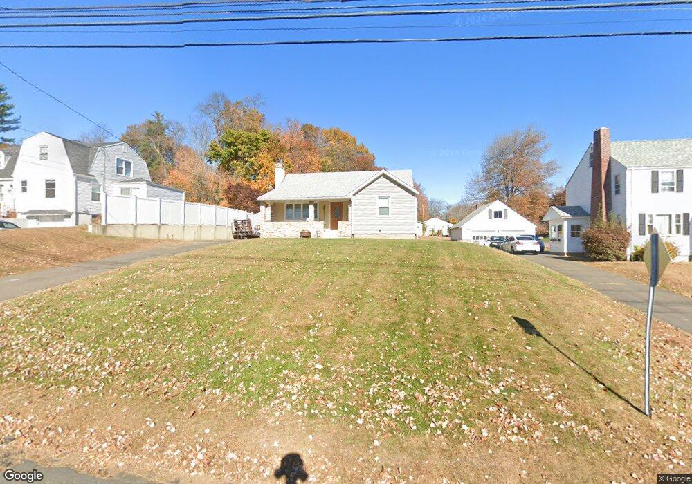
332 Barbour Rd New Britain, CT 06053
Estimated Value: $286,000 - $311,529
2
Beds
1
Bath
975
Sq Ft
$307/Sq Ft
Est. Value
About This Home
This home is located at 332 Barbour Rd, New Britain, CT 06053 and is currently estimated at $298,882, approximately $306 per square foot. 332 Barbour Rd is a home located in Hartford County with nearby schools including Holmes School, Pulaski Middle School, and Emmanuel Christian Academy.
Ownership History
Date
Name
Owned For
Owner Type
Purchase Details
Closed on
Jun 14, 2023
Sold by
Santoro Vincenzo
Bought by
Unifund T
Current Estimated Value
Purchase Details
Closed on
Jun 19, 2007
Sold by
Carver-Maloney Donna Lynn
Bought by
Santoro Vincenzo
Home Financials for this Owner
Home Financials are based on the most recent Mortgage that was taken out on this home.
Original Mortgage
$153,000
Interest Rate
9.3%
Create a Home Valuation Report for This Property
The Home Valuation Report is an in-depth analysis detailing your home's value as well as a comparison with similar homes in the area
Home Values in the Area
Average Home Value in this Area
Purchase History
| Date | Buyer | Sale Price | Title Company |
|---|---|---|---|
| Unifund T | -- | None Available | |
| Santoro Vincenzo | $170,000 | -- |
Source: Public Records
Mortgage History
| Date | Status | Borrower | Loan Amount |
|---|---|---|---|
| Previous Owner | Santoro Vincenzo | $153,000 |
Source: Public Records
Tax History Compared to Growth
Tax History
| Year | Tax Paid | Tax Assessment Tax Assessment Total Assessment is a certain percentage of the fair market value that is determined by local assessors to be the total taxable value of land and additions on the property. | Land | Improvement |
|---|---|---|---|---|
| 2025 | $6,536 | $166,810 | $71,680 | $95,130 |
| 2024 | $6,604 | $166,810 | $71,680 | $95,130 |
| 2023 | $6,385 | $166,810 | $71,680 | $95,130 |
| 2022 | $5,097 | $102,970 | $33,040 | $69,930 |
| 2021 | $5,097 | $102,970 | $33,040 | $69,930 |
| 2020 | $5,200 | $102,970 | $33,040 | $69,930 |
| 2019 | $5,200 | $102,970 | $33,040 | $69,930 |
| 2018 | $5,200 | $102,970 | $33,040 | $69,930 |
| 2017 | $5,037 | $99,750 | $30,100 | $69,650 |
| 2016 | $5,037 | $99,750 | $30,100 | $69,650 |
| 2015 | $4,888 | $99,750 | $30,100 | $69,650 |
| 2014 | $4,888 | $99,750 | $30,100 | $69,650 |
Source: Public Records
Map
Nearby Homes
- 239 Sterling Dr Unit 239
- 236 Sterling Dr Unit 236
- 37 Recano Rd
- 42 Highland Terrace
- 53 Park Dr
- 236 Old Farm Dr
- 1251 East St Unit F
- 98 Highland Terrace
- 1243 East St Unit F
- 2337 Stanley St
- 28 Tulip St
- 23 Tulip St
- 123 Brittany Farms Rd Unit B
- 123 Brittany Farms Rd Unit C
- 180 Brittany Farms Rd Unit D
- 1403 Stanley St
- 19 Saddle Hill Cir
- 198 Brittany Farms Rd Unit D
- 228 Reservoir Rd
- 40 Varmor Dr